23–24 January 2027 · Veliky Novgorod
ЗИМНИЕ ВЫХОДНЫЕ ВЕЛОКРОССА · 3ВВ
Два дня ТИПАЦИКЛОКРОССА: Cyclocross, Gravel, Fixed gear, МТБ и беговой кросс. Один день или оба.
23–24 January 2027 · Veliky Novgorod
Два дня ТИПАЦИКЛОКРОССА: Cyclocross, Gravel, Fixed gear, МТБ и беговой кросс. Один день или оба.
19 June 2027 · Batetsky
Tsar Grader 202725 October — 7 November 2026 · XCnews
INOCROSSApril 10-11, 2027 · Veliky Novgorod
Spring Cyclocross WeekendFrom 22 November 2026 · Saint Petersburg and the Leningrad Region
WINTER CUP XCNEWS499 ₽ / month · Для гонщиков
FATRACING PREMIUMОт 2 999 ₽ / month · For business
FATRACING PROThe ultimate Fethiye guide for cyclists
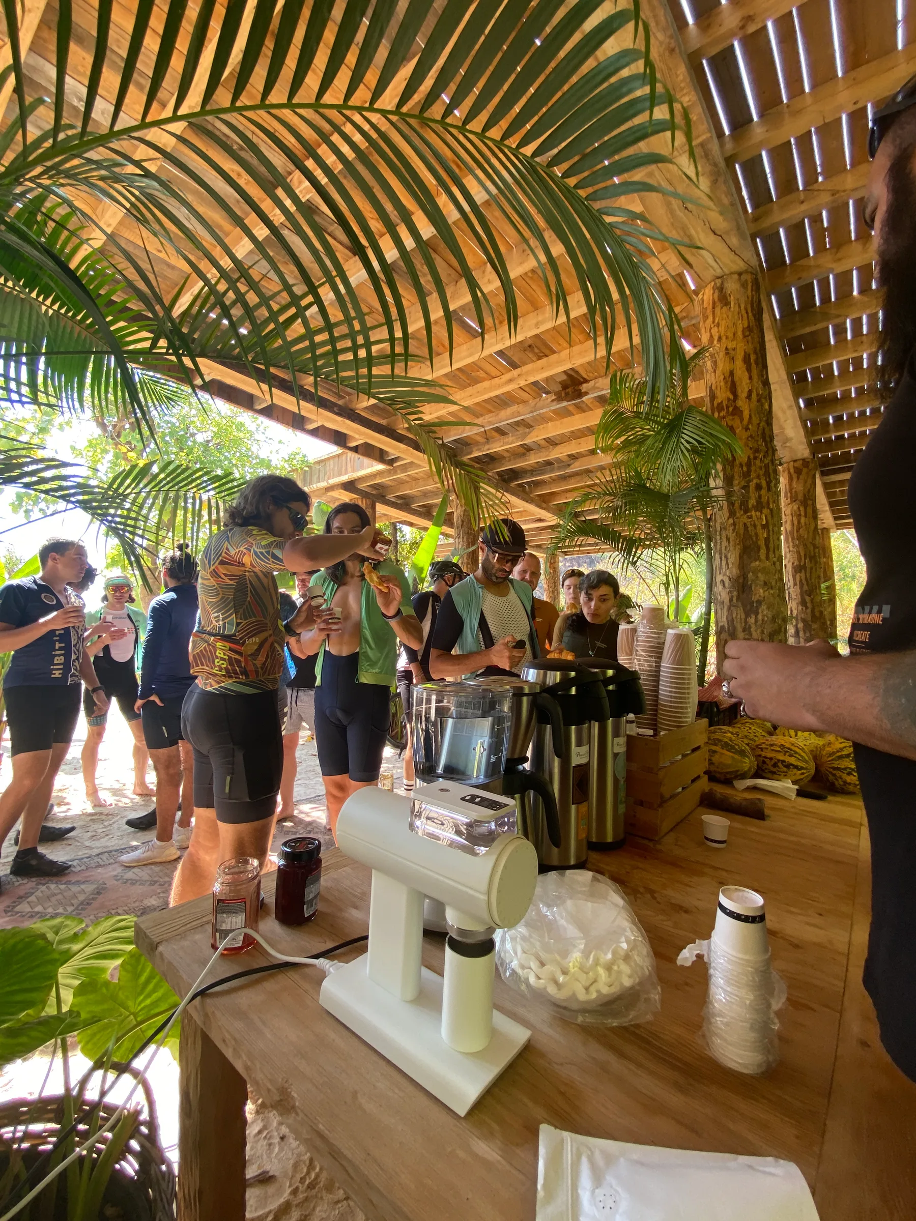
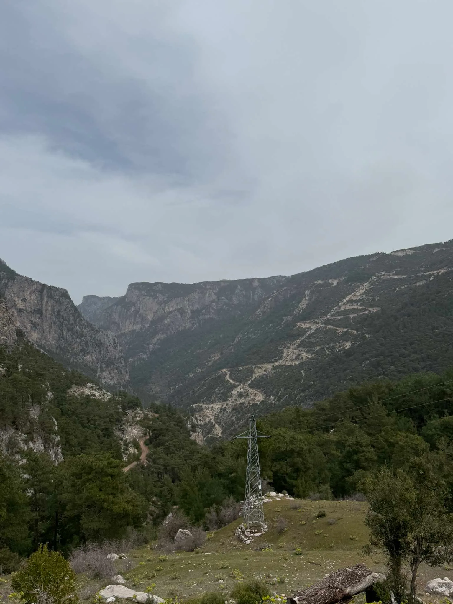
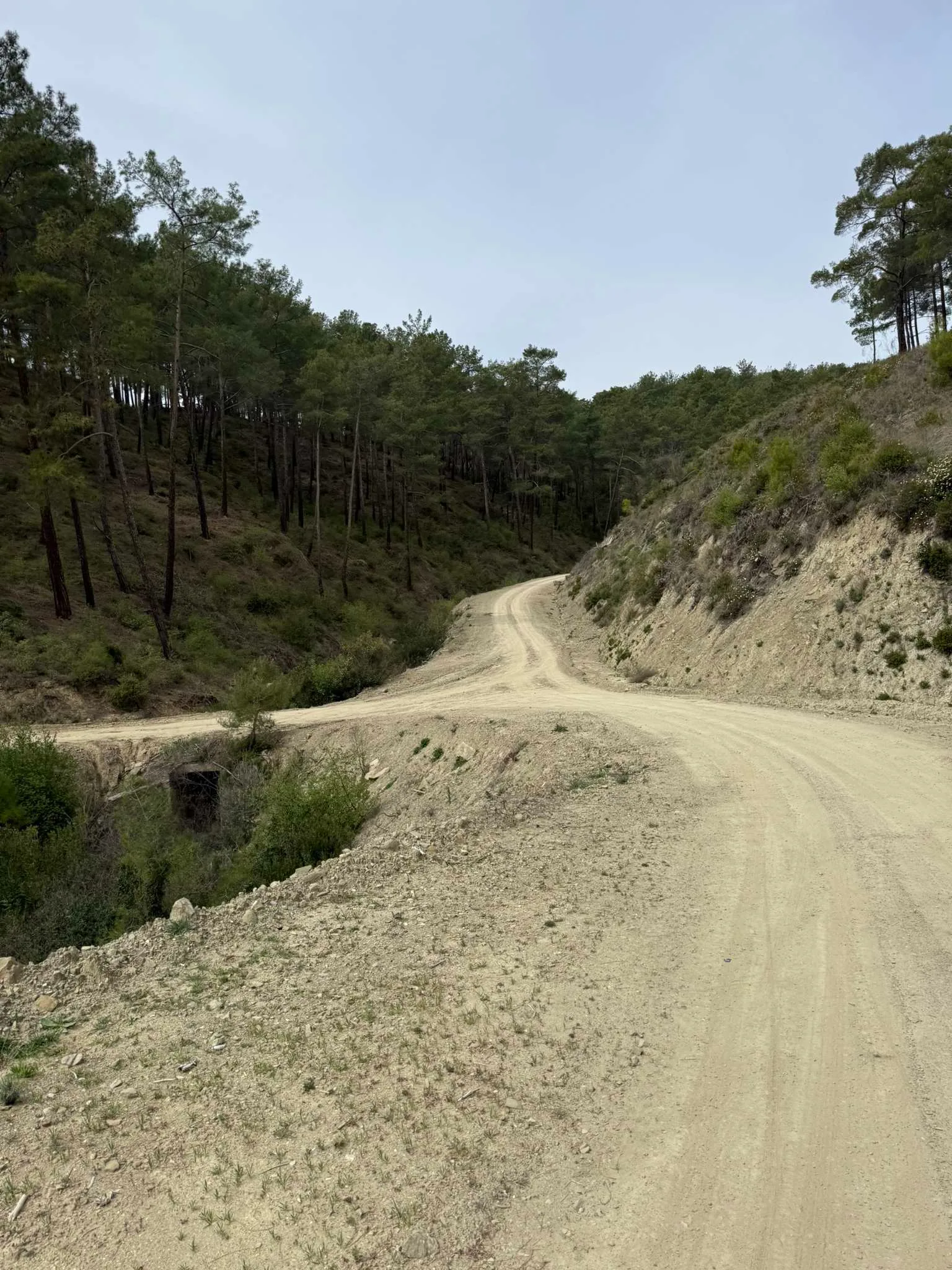
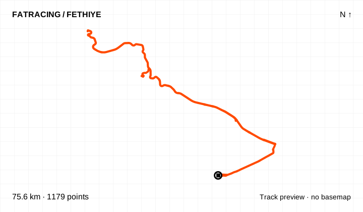
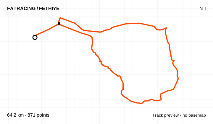
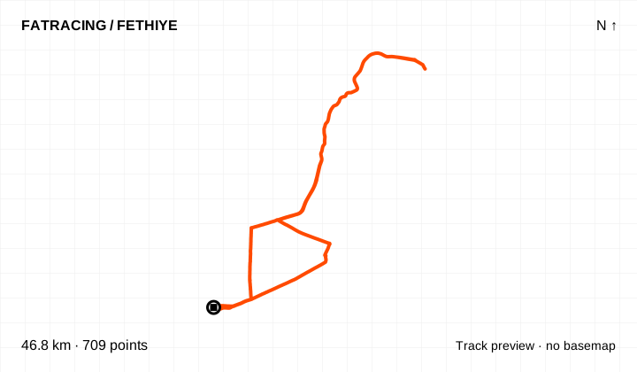
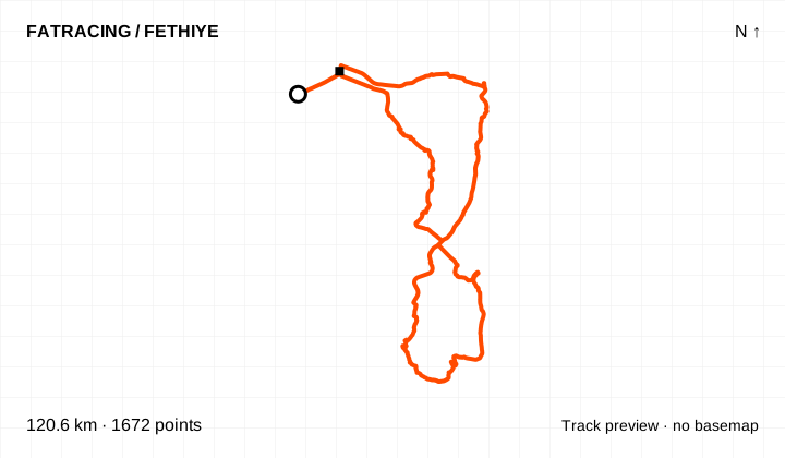
There is no single all-purpose loop around Fethiye. Head to the peninsula for an evening, a beach or Üzümlü for half a day, and Nif, the canyons or Babadağ for a bigger adventure. We have brought together archived tracks from the local NOT IN PARIS cycling community and the official Antik Pedal network. Below you will find routes by purpose, ready-to-download GPX files, track previews, elevation profiles where data is available, and interactive maps on FATRACING. Between rides there is coffee, döner, fish by the canyon and walks to quiet bays. Find the NIP community’s food stops and activity ideas below, with dates and links to the discussions.
The file count is not the number of independent roads: the complete Antik Pedal loop repeats its eleven individual sections. Many short network branches are linear. Catalogue distances cover the file itself, without your ride to the start.
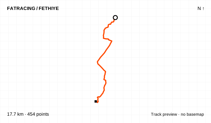
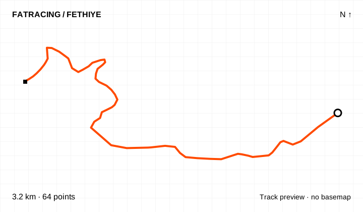
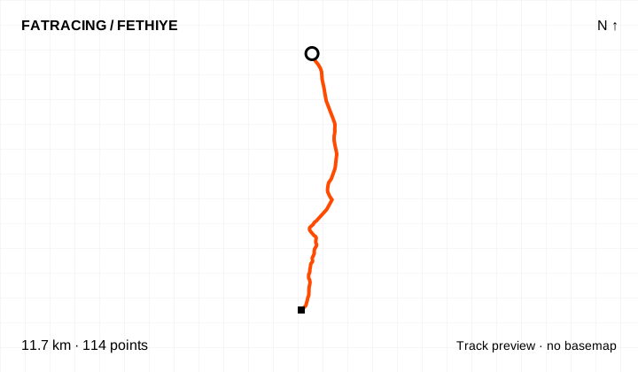
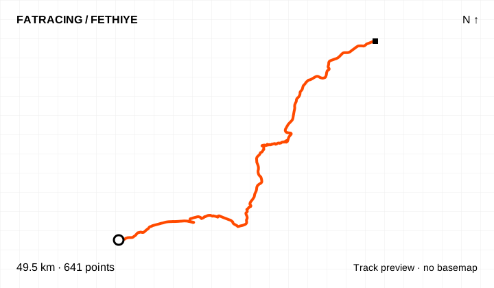
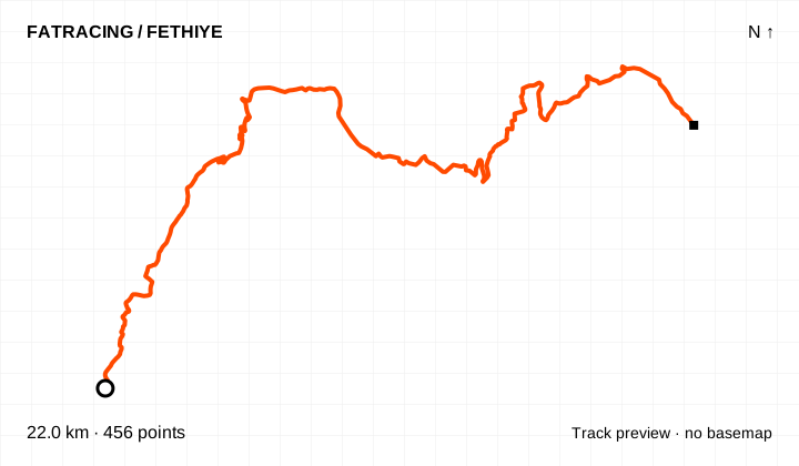
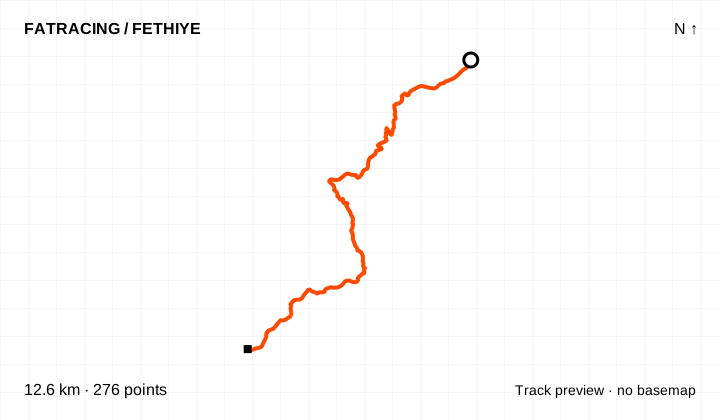
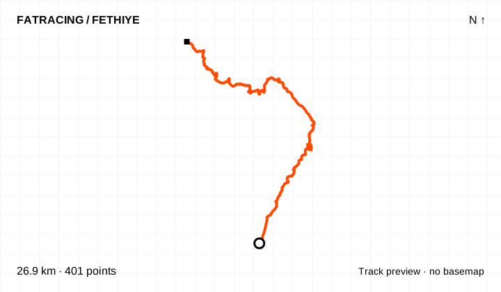
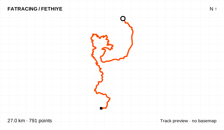
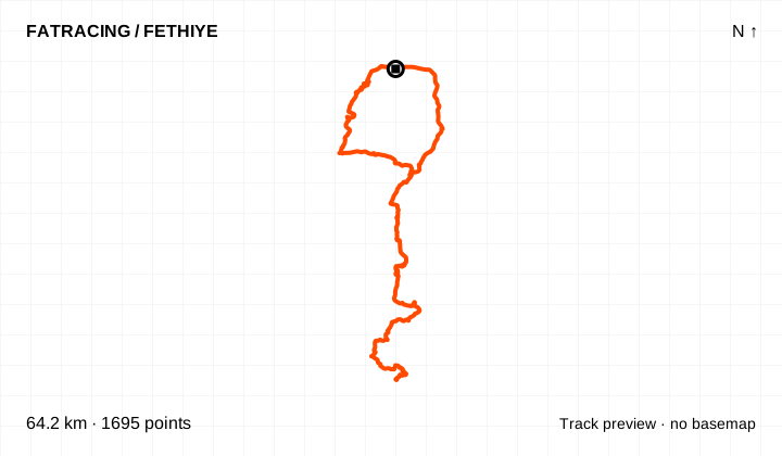
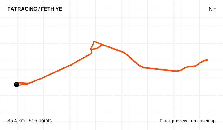
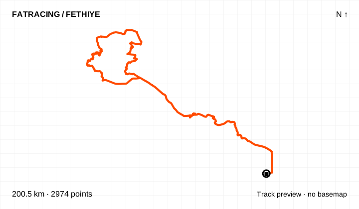
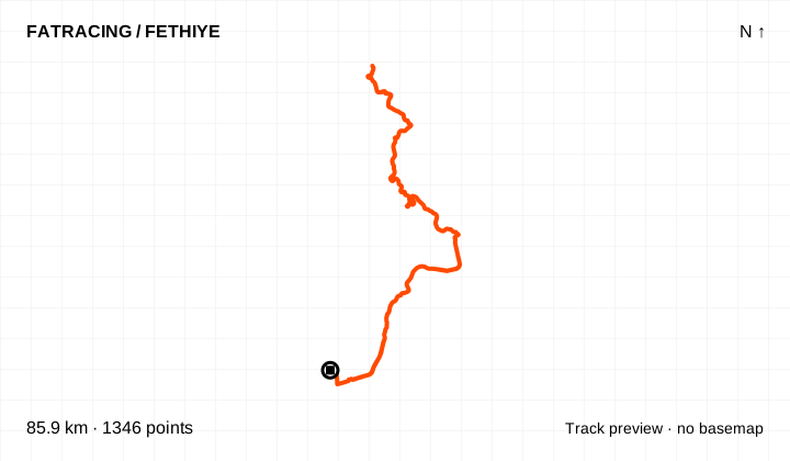
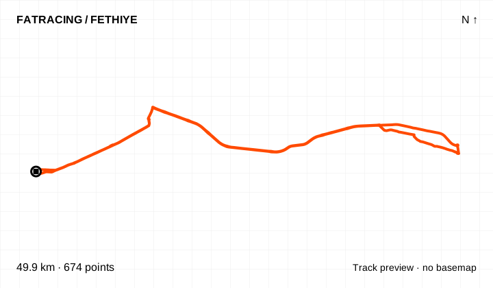
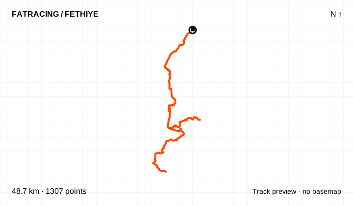
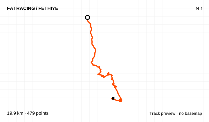
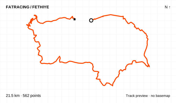
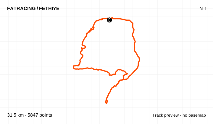
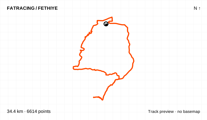
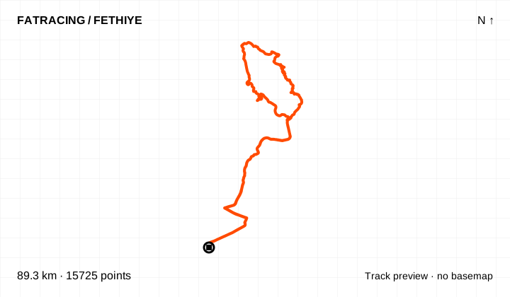
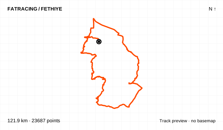
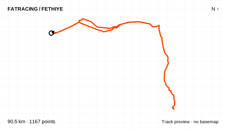
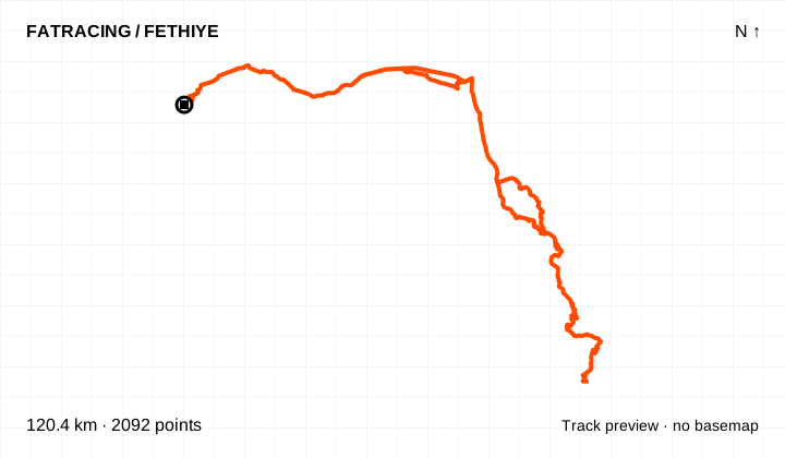
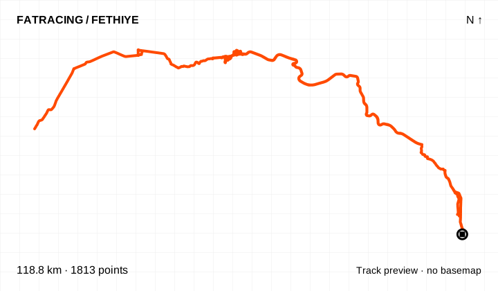
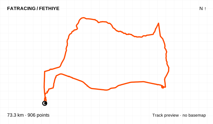
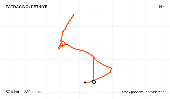
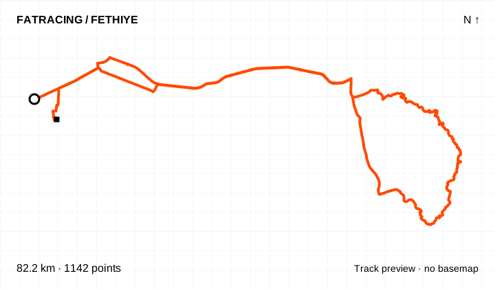
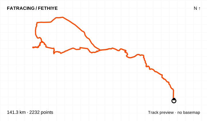
A circle marks the start and a square the finish. Maps open on FATRACING without a Strava or Komoot login. OpenStreetMap supplies the background; the GPX files and track previews are hosted on FATRACING.
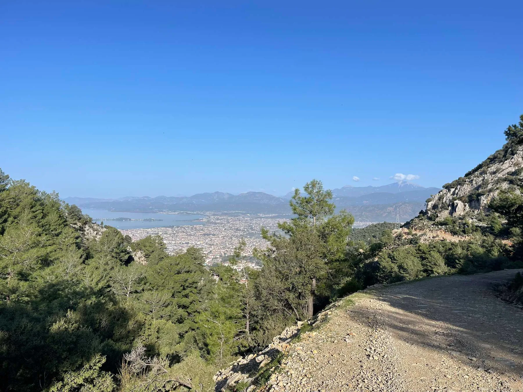
The peninsula and Sea Me Beach. In the chat this is an evening, sunset or recovery loop, often with a swim. Variations include clockwise and anticlockwise, with or without a beach stop. A GPX file is available; its point order determines the direction.
Kayaköy, Ölüdeniz and Gemiler. Chat suggestions include Kayaköy out and back; through Kayaköy to Ölüdeniz and back on the main road; the reverse of that loop; and a descent to Gemiler. Official Kayaköy–Ovacık and Afkule segments are listed below. Do not automatically treat the walks to Afkule or Cold Water Bay as cycling routes.
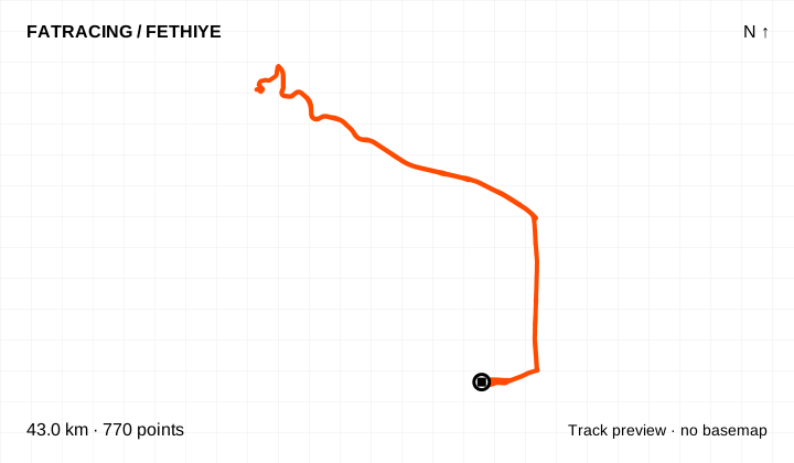
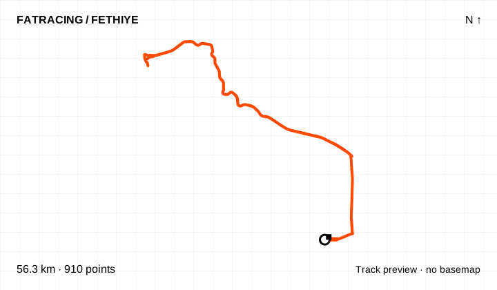
Günlüklü, Katrancı, İnlice and Göcek. These are beach and training rides heading northwest. Archived announcements list 43–44 km for Günlüklü, about 56 km for İnlice and about 60–67 km for Göcek variations. Beach access roads and the start point change the total. Antik Pedal also has a separate İnlice–Katrancı line.
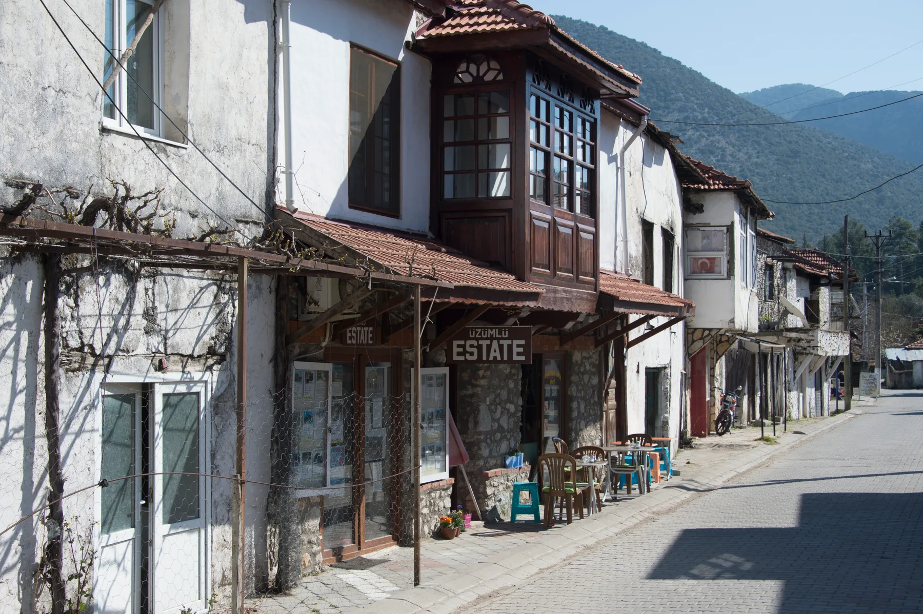
Üzümlü and Kadyanda. The short option climbs to the village and returns. A longer loop continues towards Ören and Seydikemer; its announcement listed 80 km and roughly 1,000 m of climbing. Kadyanda is a separate branch: the published distance and downloadable geometry disagree, so check the map rather than relying on the headline number.
Nif. The archive distinguishes an out-and-back ride, a loop and a harder loop with an additional mountain after Nif. The out-and-back GPX is available. “Nif” alone does not define the distance or difficulty: do not transfer one variation’s figures to another.
Girmeler, Ören and Saklıkent. An old Girmeler cave announcement listed 62 km with around 374 m of climbing. Saklıkent was described as a continuation of the familiar direction to a more distant canyon. For Ören there is a recorded ride and a separate short official approach to Karanlıkiçi. These are different canyons and very different ride lengths.
Babadağ. The chat includes summit climbs and an approach from Pınara. Official AR8 climbs from Ovacık on asphalt, then descends on dirt. It is not a ready-made paved through-loop for a road bike: choose your turnaround point on the asphalt in advance. The summit approach from Pınara requires a separate surface check.
Faralya, Kabak, Pınara, Patara, Girdev and Trans Akdağ. These destinations extend your options beyond town loops. The official network includes mixed-surface and mountain sections, some starting far from Fethiye. When combining two GPX files, check the actual junction: a suitable cycling road between their endpoints is not guaranteed.
We compared nine routes from MapMagic and Hedonism’s collection dated 16 May 2024. Many use roads already represented here, with different starts and combinations. Four more variations are useful for planning; the distances and climbing below come from that publication, not our GPX files.
This Tlos variation is longer than our 82 km track; Babadağ is separate from the gravel climb and AR8. The source lines for Tlos and Babadağ contain gaps: check the connections before riding. The Göcek variation includes a short urban section marked as pedestrian; through access by bicycle is unconfirmed.
These are files shared in the chat, not a current ride schedule. Dates indicate their age. Coordinates and available elevations are retained; timestamps, author details and device extensions have been removed.
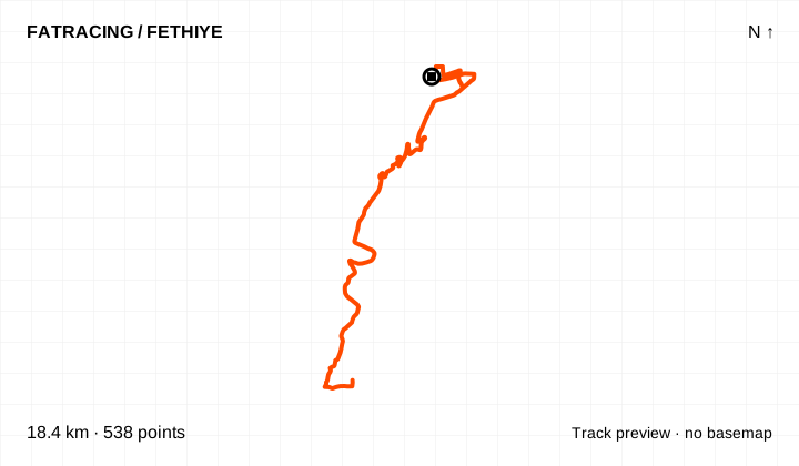
A short loop around the coastal peninsula. Archived as paininsula: a short distance here does not mean a flat ride.
Climbing reported by Komoot: about 327 m.
Loop / out and back · 598 points. File elevations: 4–85 m above sea level. This is the altitude range, not total climbing.
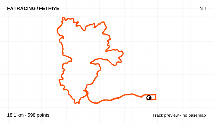
The map background could not load; the track diagram is shown. Select the preview to open the full map.
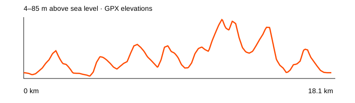
Source: NOT IN PARIS // Social clubs · data: 2022-11-23. Distance is calculated from the geometry; source announcements may round it differently. The OpenStreetMap background loads when you expand a route; if unavailable, the track diagram remains visible.
The gentlest elevation profile among the downloaded club tracks. A useful introduction to the area if the actual traffic conditions suit you.
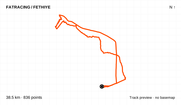
Loop / out and back · 836 points. File elevations: 1–46 m above sea level. This is the altitude range, not total climbing.
The map background could not load; the track diagram is shown. Select the preview to open the full map.
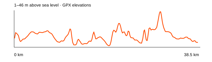
Source: NOT IN PARIS // Social clubs · data: 2023-01-21. Distance is calculated from the geometry; source announcements may round it differently. The OpenStreetMap background loads when you expand a route; if unavailable, the track diagram remains visible.
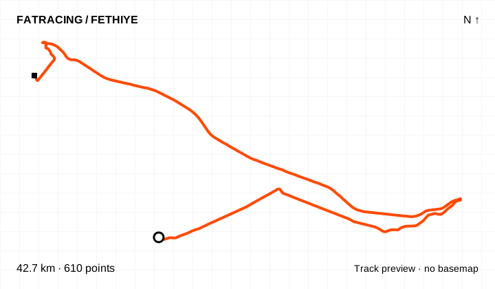
A club route dated 26 March 2023. A useful variation on familiar roads; this archived record does not represent a currently scheduled group ride.
Climbing reported by Komoot: about 289 m.
Different start and finish points · 610 points. File elevations: 2–206 m above sea level. This is the altitude range, not total climbing.
The map background could not load; the track diagram is shown. Select the preview to open the full map.
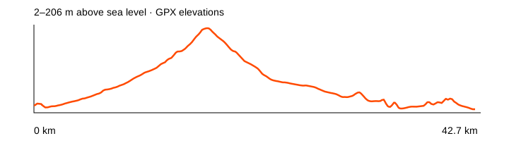
Source: NOT IN PARIS // Social clubs · data: 2023-03-26. Distance is calculated from the geometry; source announcements may round it differently. The OpenStreetMap background loads when you expand a route; if unavailable, the track diagram remains visible.
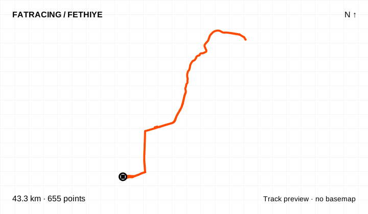
A mountain ride to Yeşilüzümlü. The historical club breakfast was arranged in advance: a visit to the coffee roasters should not be treated as a public café stop.
Climbing reported by Komoot: about 616 m.
Loop / out and back · 655 points. File elevations: 5–507 m above sea level. This is the altitude range, not total climbing.
The map background could not load; the track diagram is shown. Select the preview to open the full map.
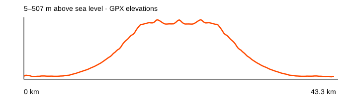
Source: NOT IN PARIS // Social clubs · data: 2022-12-02. Distance is calculated from the geometry; source announcements may round it differently. The OpenStreetMap background loads when you expand a route; if unavailable, the track diagram remains visible.
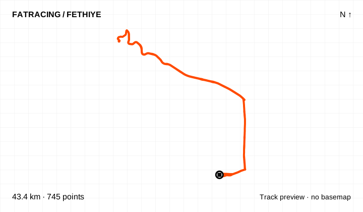
From town towards Göcek, leaving the D400 for the beach and returning. Road traffic and the climb back from the beach are part of the ride.
Climbing reported by Komoot: about 431 m.
Loop / out and back · 745 points. File elevations: 4–110 m above sea level. This is the altitude range, not total climbing.
The map background could not load; the track diagram is shown. Select the preview to open the full map.
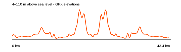
Source: NOT IN PARIS // Social clubs · data: 2022-12-14. Distance is calculated from the geometry; source announcements may round it differently. The OpenStreetMap background loads when you expand a route; if unavailable, the track diagram remains visible.
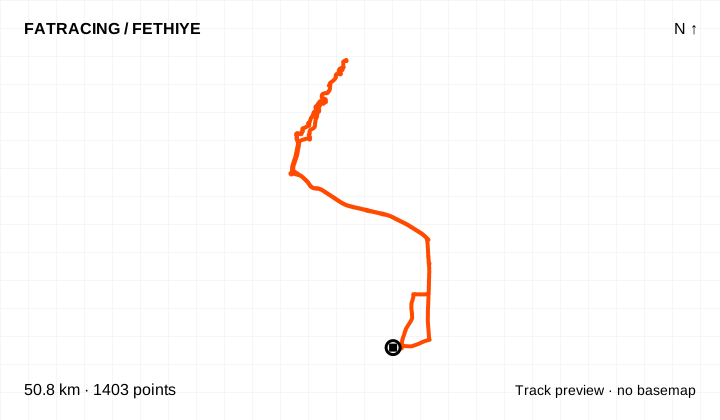
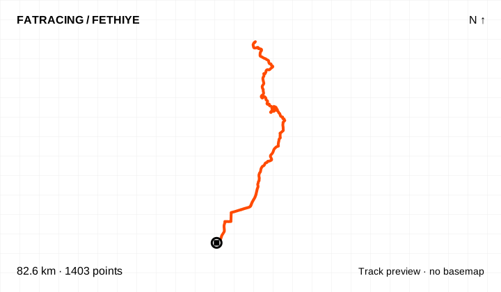
The archived bungeepark club route. The name refers to a landmark in the old track; check separately whether the venue is open and a stop is possible.
Climbing reported by Komoot: about 372 m.
Loop / out and back · 1,403 points. File elevations: 2–137 m above sea level. This is the altitude range, not total climbing.
The map background could not load; the track diagram is shown. Select the preview to open the full map.
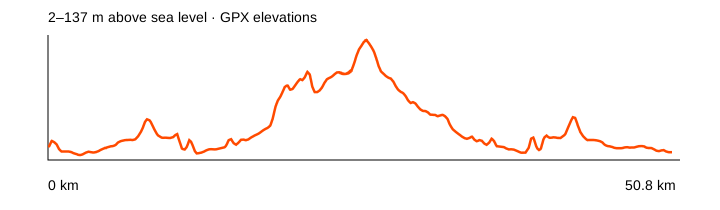
Source: NOT IN PARIS // Social clubs · data: 2023-01-05. Distance is calculated from the geometry; source announcements may round it differently. The OpenStreetMap background loads when you expand a route; if unavailable, the track diagram remains visible.
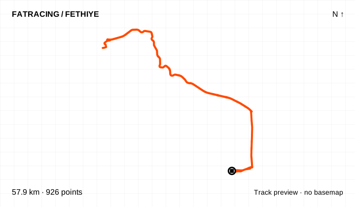
A longer beach ride towards Göcek. Plan your water supply and the return along the main road before setting out independently.
Loop / out and back · 926 points. File elevations: 4–152 m above sea level. This is the altitude range, not total climbing.
The map background could not load; the track diagram is shown. Select the preview to open the full map.
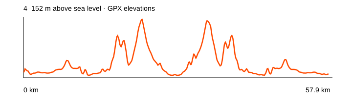
Source: NOT IN PARIS // Social clubs · data: 2022-12-25. Distance is calculated from the geometry; source announcements may round it differently. The OpenStreetMap background loads when you expand a route; if unavailable, the track diagram remains visible.
Another archived club loop. Its geometry is kept separately: this is a distinct variation, rather than a renamed beach ride.
Climbing reported by Komoot: about 382 m.
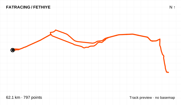
Loop / out and back · 797 points. File elevations: 5–206 m above sea level. This is the altitude range, not total climbing.
The map background could not load; the track diagram is shown. Select the preview to open the full map.
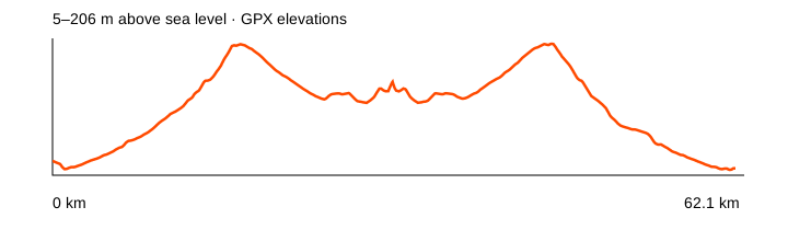
Source: NOT IN PARIS // Social clubs · data: 2023-01-27. Distance is calculated from the geometry; source announcements may round it differently. The OpenStreetMap background loads when you expand a route; if unavailable, the track diagram remains visible.
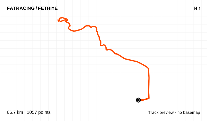
A variation towards Göcek with several climbs. The archived filename is ThreeHeelsOfGöcek; do not confuse it with a short ride to the nearest beach.
Climbing reported by Komoot: about 923 m.
Loop / out and back · 1,057 points. File elevations: 4–152 m above sea level. This is the altitude range, not total climbing.
The map background could not load; the track diagram is shown. Select the preview to open the full map.
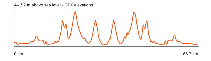
Source: NOT IN PARIS // Social clubs · data: 2023-02-09. Distance is calculated from the geometry; source announcements may round it differently. The OpenStreetMap background loads when you expand a route; if unavailable, the track diagram remains visible.
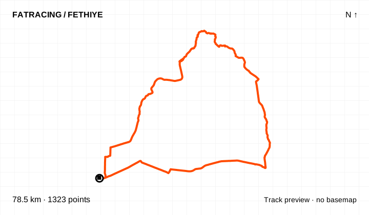
A separate club variation from May 2025. Riders described it as suitable for a road bike, but the current surface condition has not been checked.
Loop / out and back · 1,323 points. File elevations: 3–732 m above sea level. This is the altitude range, not total climbing.
The map background could not load; the track diagram is shown. Select the preview to open the full map.
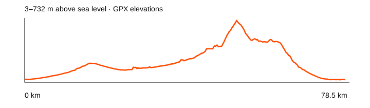
Source: NOT IN PARIS // Social clubs · data: 2025-05-03. Distance is calculated from the geometry; source announcements may round it differently. The OpenStreetMap background loads when you expand a route; if unavailable, the track diagram remains visible.
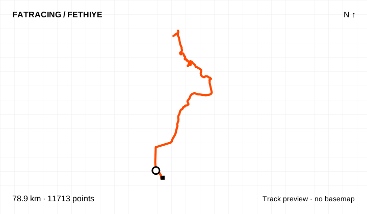
An out-and-back mountain ride from Fethiye to Nif. This is a recorded activity, so its start point and distance may differ from the planned club route.
Different start and finish points · 11,713 points. File elevations: 1–1020 m above sea level. This is the altitude range, not total climbing.
The map background could not load; the track diagram is shown. Select the preview to open the full map.
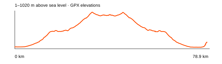
Source: NOT IN PARIS // Social clubs · data: 2024-10-04. Distance is calculated from the geometry; source announcements may round it differently. The OpenStreetMap background loads when you expand a route; if unavailable, the track diagram remains visible.
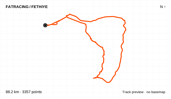
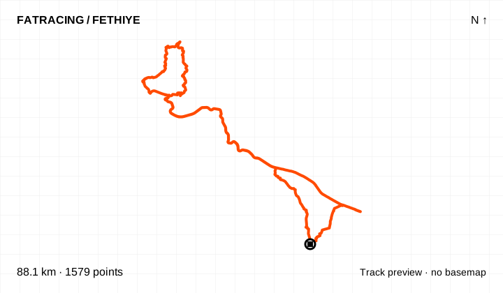
File COURSE_318178890: the original name indicates a ride of about 88 km. Check the turnaround points and road access before riding.
Loop / out and back · 3,357 points. File elevations: 5–439 m above sea level. This is the altitude range, not total climbing.
The map background could not load; the track diagram is shown. Select the preview to open the full map.
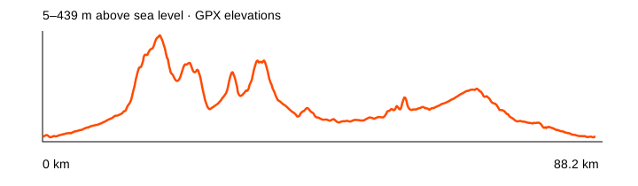
Source: NOT IN PARIS // Social clubs · data: 2024-11-08. Distance is calculated from the geometry; source announcements may round it differently. The OpenStreetMap background loads when you expand a route; if unavailable, the track diagram remains visible.
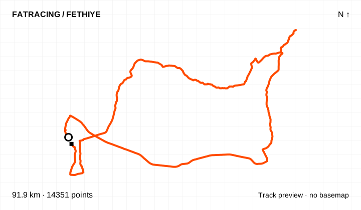
A long recorded ride to Ören Canyon. Review the entire track: the approach to the canyon is only one part of the ride, not its total distance.
Different start and finish points · 14,351 points. File elevations: 5–674 m above sea level. This is the altitude range, not total climbing.
The map background could not load; the track diagram is shown. Select the preview to open the full map.
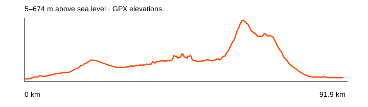
Source: NOT IN PARIS // Social clubs · data: 2024-10-17. Distance is calculated from the geometry; source announcements may round it differently. The OpenStreetMap background loads when you expand a route; if unavailable, the track diagram remains visible.
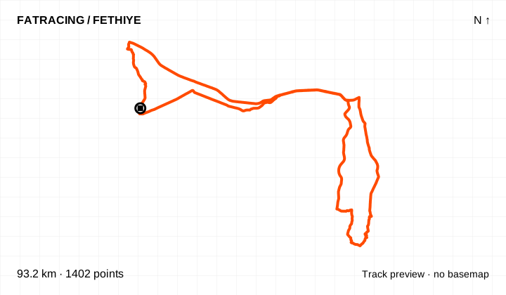
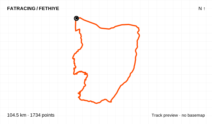
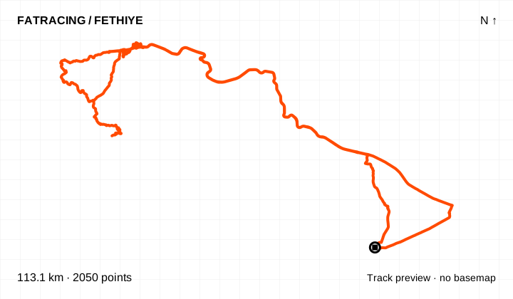
The historical long granfondo course shared in the chat. Independent riders use roads open to traffic: race closures, feed stations and event support do not apply.
Loop / out and back · 1,402 points. File elevations: 2–208 m above sea level. This is the altitude range, not total climbing.
The map background could not load; the track diagram is shown. Select the preview to open the full map.
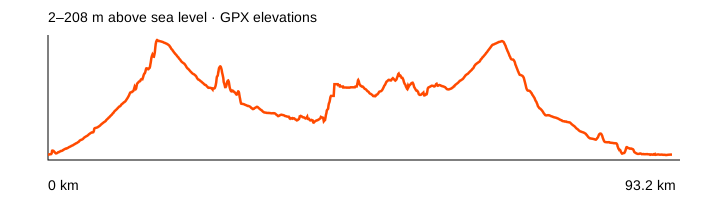
Source: NOT IN PARIS // Social clubs · data: 2023-09-29. Distance is calculated from the geometry; source announcements may round it differently. The OpenStreetMap background loads when you expand a route; if unavailable, the track diagram remains visible.
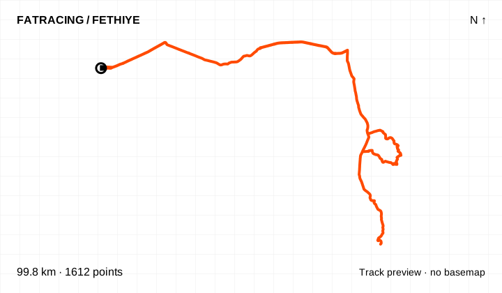
The announcement listed 100 km and roughly 1,000 m of climbing. It shares the beginning of the longer loop; the groups split after the first stop.
Loop / out and back · 1,612 points. File elevations: 3–517 m above sea level. This is the altitude range, not total climbing.
The map background could not load; the track diagram is shown. Select the preview to open the full map.
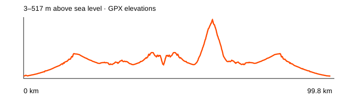
Source: NOT IN PARIS // Social clubs · data: 2025-03-28. Distance is calculated from the geometry; source announcements may round it differently. The OpenStreetMap background loads when you expand a route; if unavailable, the track diagram remains visible.
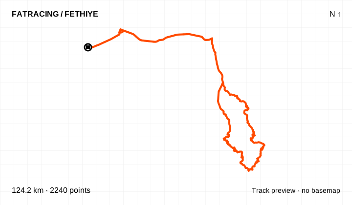
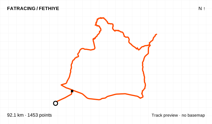
The announcement listed 124 km and roughly 2,000 m of climbing, with stops at kilometres 45 and 57. Those stops belonged to a particular club ride; no support is provided when riding independently.
Loop / out and back · 2,240 points. File elevations: 3–1103 m above sea level. This is the altitude range, not total climbing.
The map background could not load; the track diagram is shown. Select the preview to open the full map.
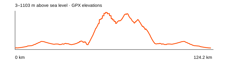
Source: NOT IN PARIS // Social clubs · data: 2025-03-28. Distance is calculated from the geometry; source announcements may round it differently. The OpenStreetMap background loads when you expand a route; if unavailable, the track diagram remains visible.
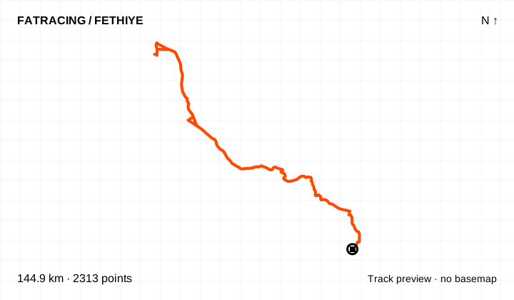
A long club ride to the lake along the D400. The announcement included four support cars: independent riders must arrange their own food, water and way home.
Loop / out and back · 2,313 points. File elevations: 1–231 m above sea level. This is the altitude range, not total climbing.
The map background could not load; the track diagram is shown. Select the preview to open the full map.
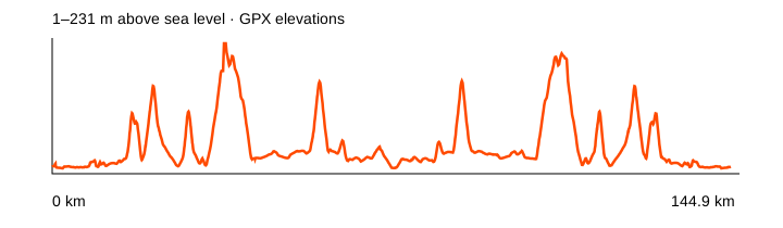
Source: NOT IN PARIS // Social clubs · data: 2025-10-24. Distance is calculated from the geometry; source announcements may round it differently. The OpenStreetMap background loads when you expand a route; if unavailable, the track diagram remains visible.
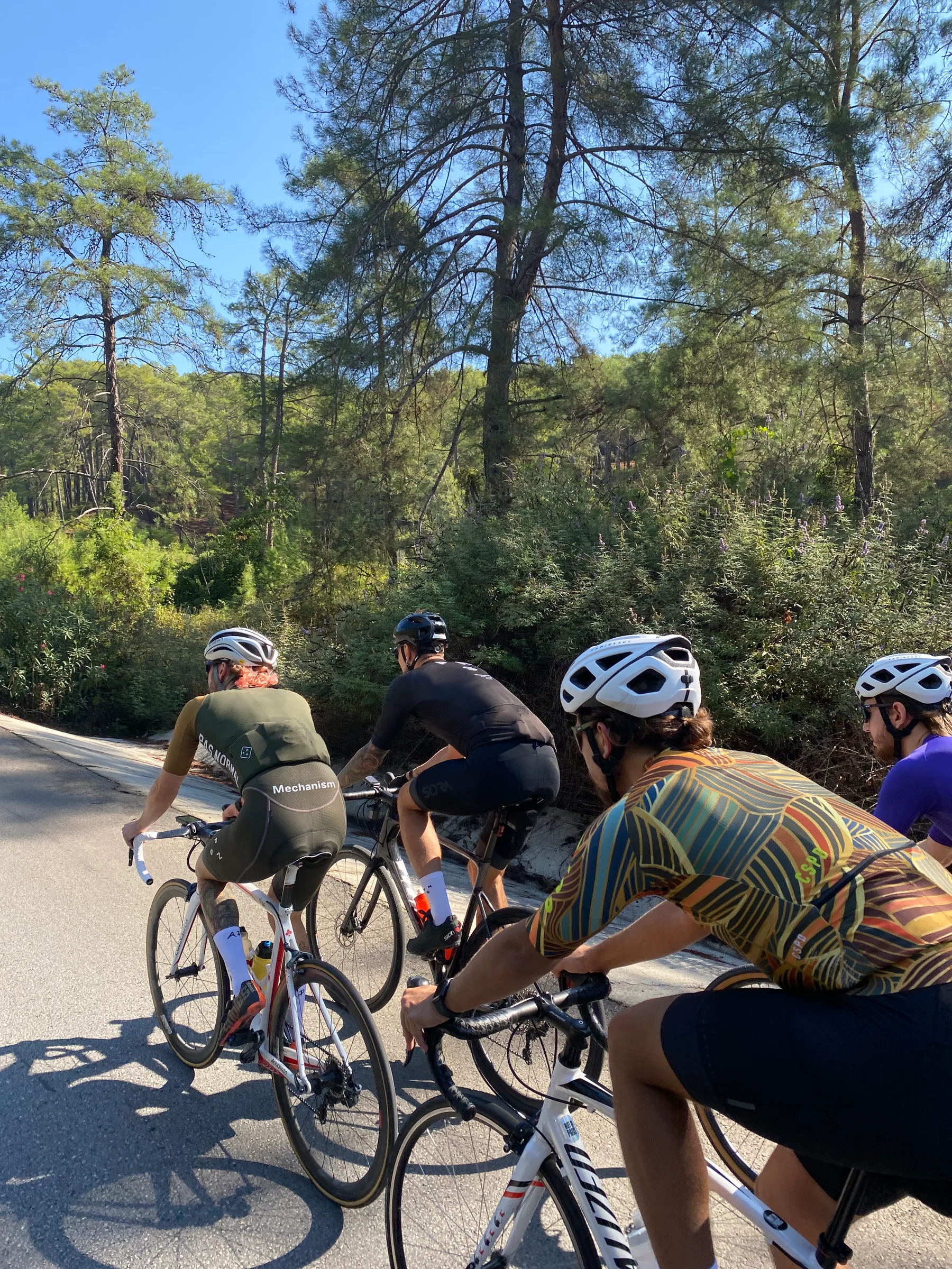
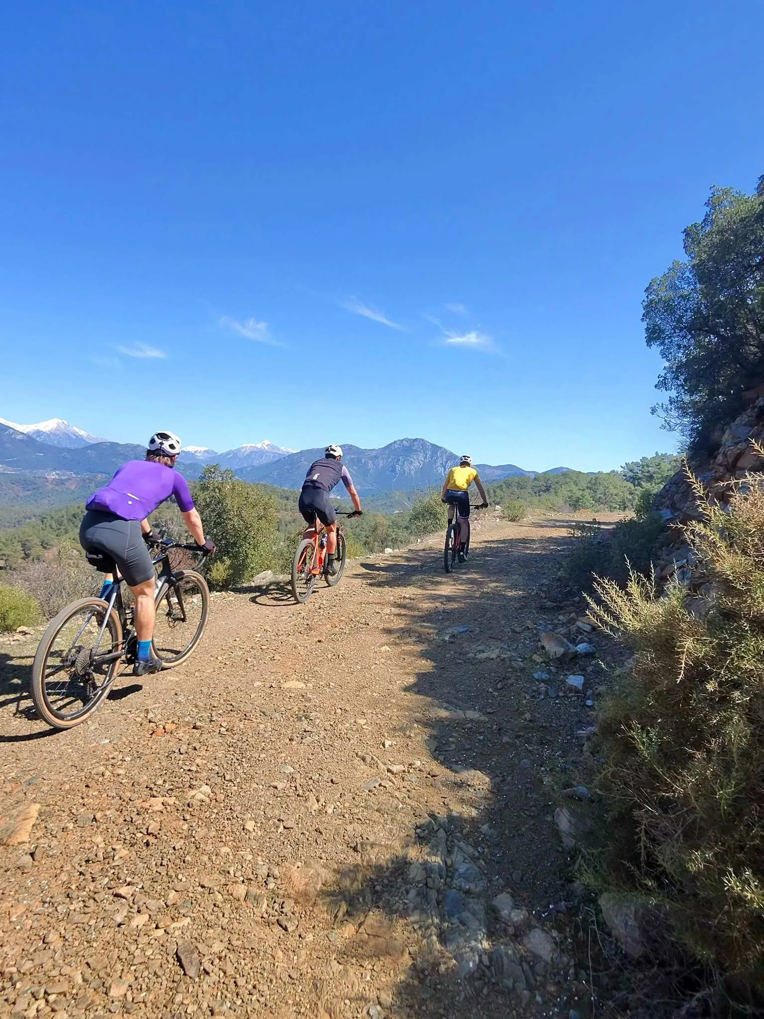
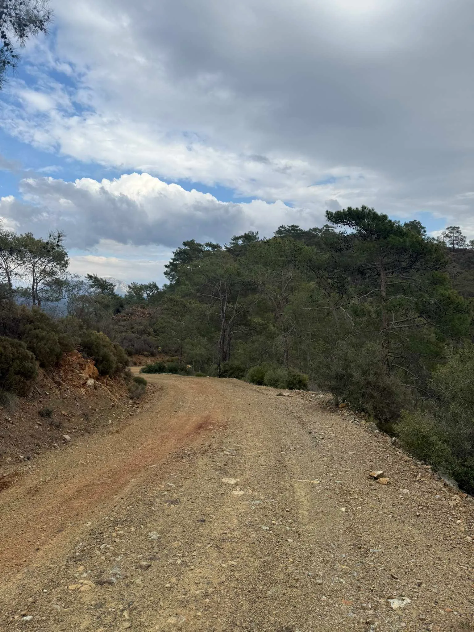
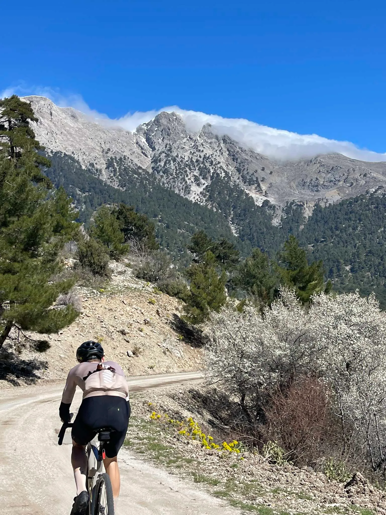
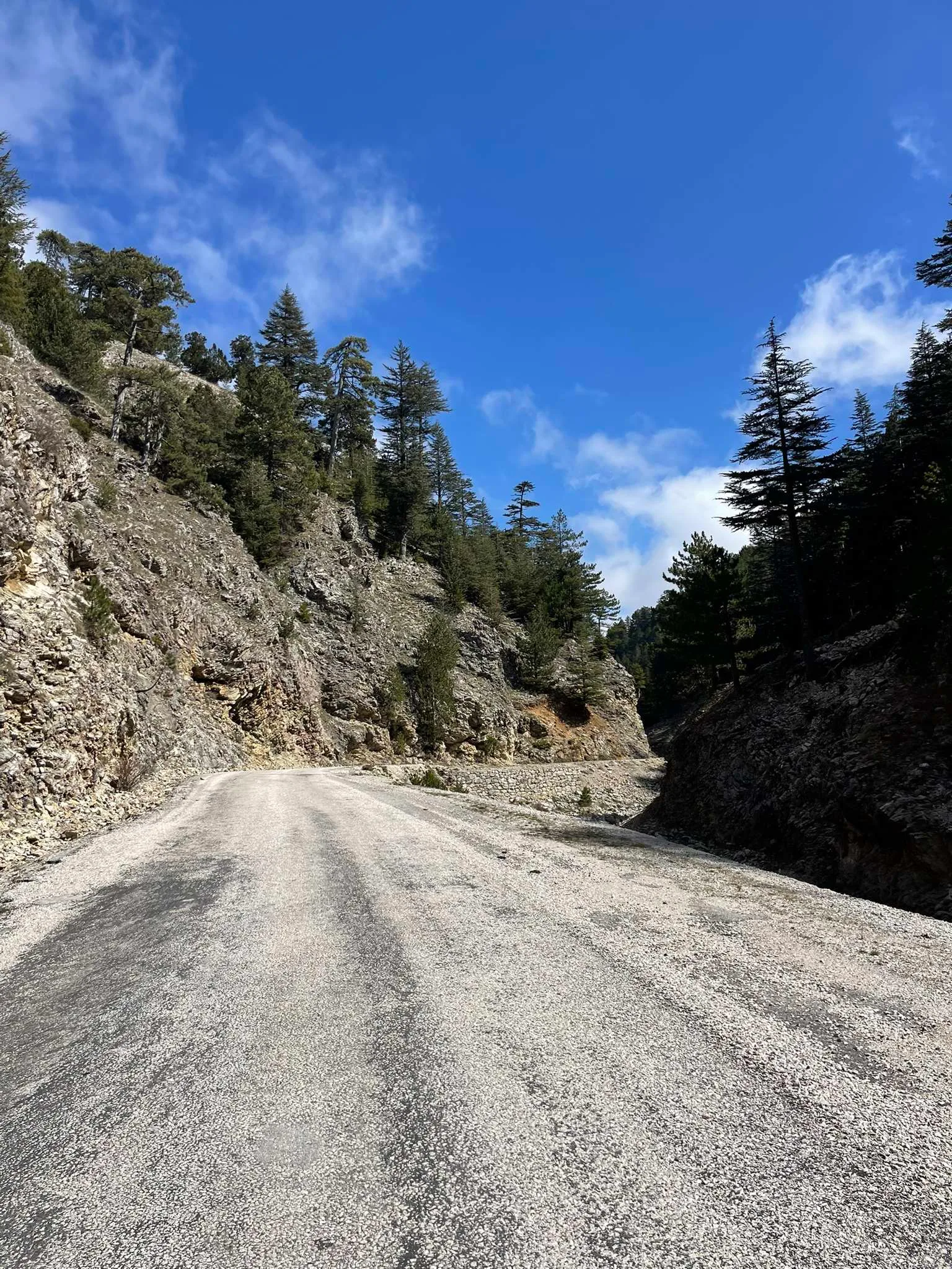
Coach Alexey Mayskiy’s (@wenbicycle) Fethiye Gravel Roads collection adds 32 recorded rides on dirt and asphalt. Added on 30 October 2026, it ranges from short loops near town to long mountain rides. Some share roads but follow different lines and distances.
Where to start: the canal to Yanıklar, 42 km / 190 m climbing, is the flattest option. Coal Road, 39 km / 630 m, and Kayaköy–Ölüdeniz, 47 km / 970 m, are two shorter rides in the curator’s top five. The other three are Pınara–Kirme, Green Valley–Dikmentepe and Mendos–Kayaköy.
Difficulty is the curator’s technical assessment. Easy does not mean little climbing: Pınara–Kirme gains about 1,930 m and Aygır Dağı 2,810 m. The medium-rated Yaylacık and Nif via Göcek are major mountain rides. The curator suggests gearing of 1:1 or lower and wide tubeless tyres; choose width and pressure for your weight, rims and conditions.
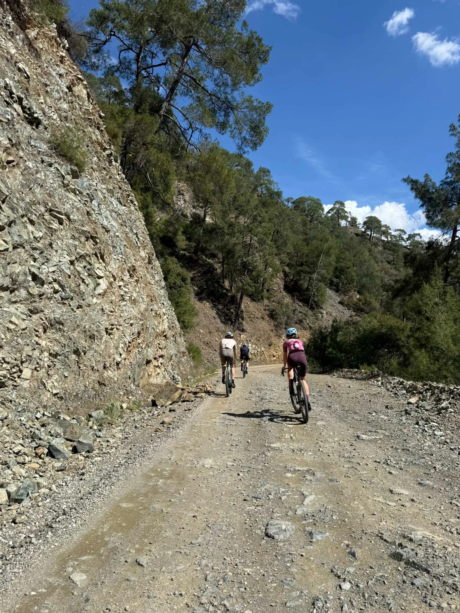
Read each file’s notes first. İnlice has a reported locked gate towards Günlüklü, Green Valley has river crossings, and Mendos has rocky descents. The easy rating for Babadağ from Kabaağaç assumes an asphalt bypass of Bozyer; this GPX retains the original technical section. No bypasses have been invented. Card dates are recording dates; sources were checked on 30 October 2026. Current access on the ground has not been verified.
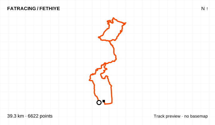
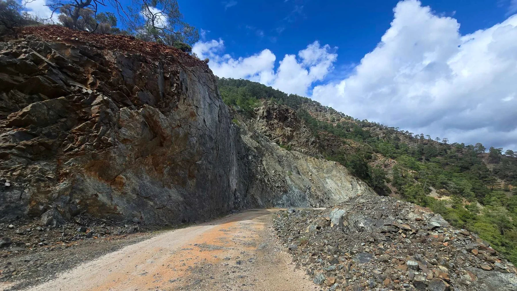
Easy on the curator’s scale and one of his five favourites. A short steep climb follows the abandoned mine; roughly 630 m of climbing over 39 km.
From the collection of coach Alexey Mayskiy · Fethiye Gravel Roads
Climbing reported by Komoot: about 631 m.
Different start and finish points · 6,622 points. File elevations: 0–437 m above sea level. This is the altitude range, not total climbing.
The map background could not load; the track diagram is shown. Select the preview to open the full map.
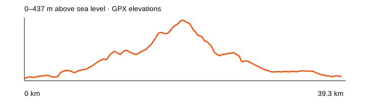
Source: Alexey Mayskiy / Fethiye Gravel Roads · data: 2025-03-09. Distance is calculated from the geometry; source announcements may round it differently. The OpenStreetMap background loads when you expand a route; if unavailable, the track diagram remains visible.
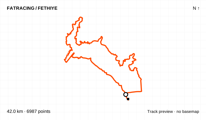
Easy on the curator’s scale. One of the flatter options, with about 190 m climbing over 42 km and a short steep climb towards Yanıklar.
From the collection of coach Alexey Mayskiy · Fethiye Gravel Roads
Climbing reported by Komoot: about 186 m.
Different start and finish points · 6,987 points. File elevations: 2–66 m above sea level. This is the altitude range, not total climbing.
The map background could not load; the track diagram is shown. Select the preview to open the full map.
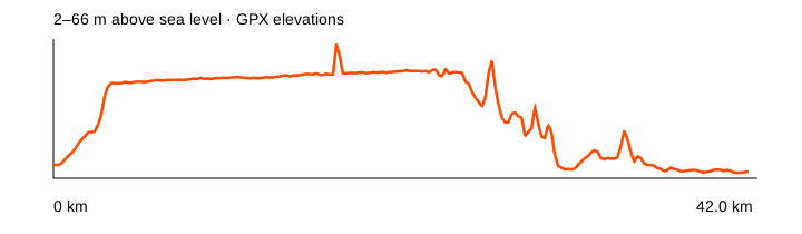
Source: Alexey Mayskiy / Fethiye Gravel Roads · data: 2024-11-11. Distance is calculated from the geometry; source announcements may round it differently. The OpenStreetMap background loads when you expand a route; if unavailable, the track diagram remains visible.
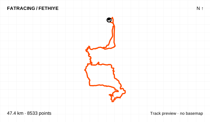
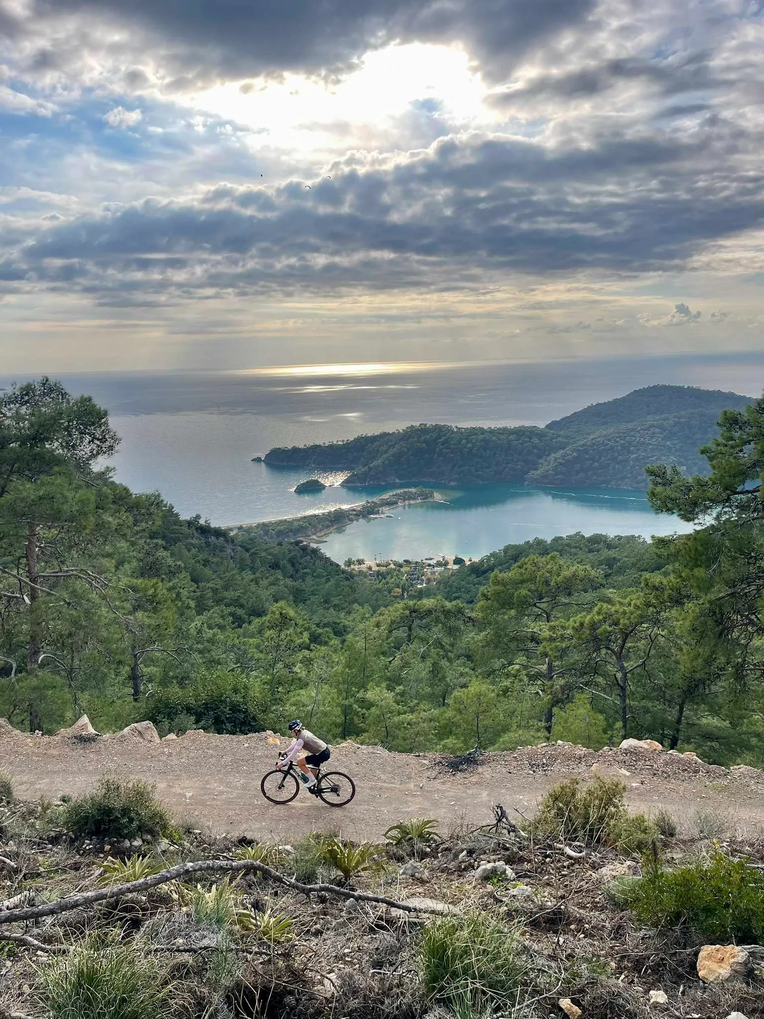
Easy on the curator’s scale and in his top five. A dirt-road variation through Kayaköy overlooking Ölüdeniz, with nearly 1,000 m of climbing over 47 km.
From the collection of coach Alexey Mayskiy · Fethiye Gravel Roads
Climbing reported by Komoot: about 965 m.
Loop / out and back · 8,533 points. File elevations: 2–478 m above sea level. This is the altitude range, not total climbing.
The map background could not load; the track diagram is shown. Select the preview to open the full map.
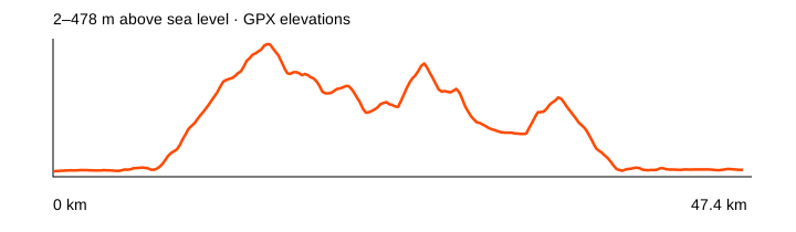
Source: Alexey Mayskiy / Fethiye Gravel Roads · data: 2025-02-20. Distance is calculated from the geometry; source announcements may round it differently. The OpenStreetMap background loads when you expand a route; if unavailable, the track diagram remains visible.
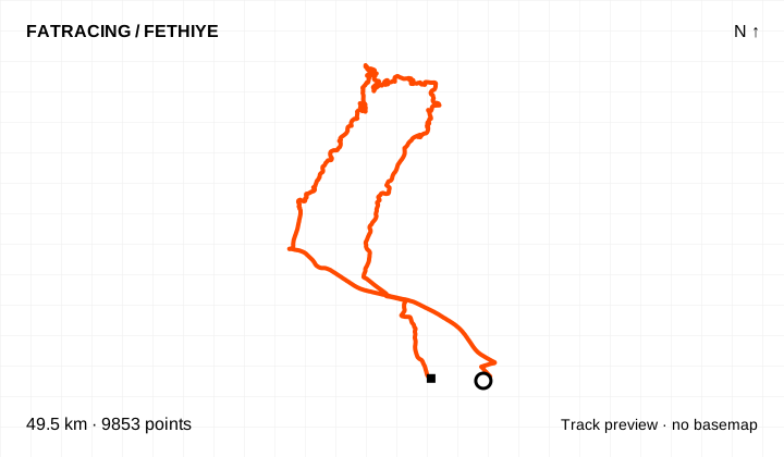
Easy on the collection curator’s scale. Recorded by Irina Shcherbakova: a short steep rocky climb out of Green Valley, followed by a longer ascent to Çenger.
From the collection of coach Alexey Mayskiy · Fethiye Gravel Roads
Climbing reported by Komoot: about 981 m.
Different start and finish points · 9,853 points. File elevations: 5–618 m above sea level. This is the altitude range, not total climbing.
The map background could not load; the track diagram is shown. Select the preview to open the full map.
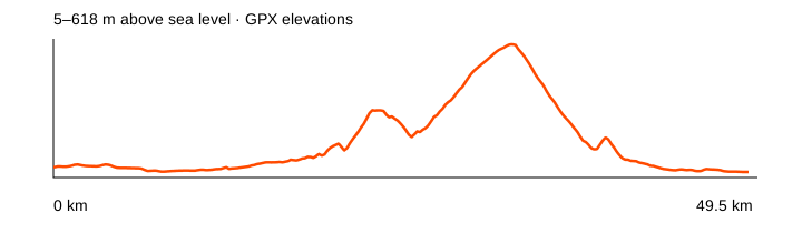
Source: Alexey Mayskiy / Fethiye Gravel Roads · data: 2025-03-30. Distance is calculated from the geometry; source announcements may round it differently. The OpenStreetMap background loads when you expand a route; if unavailable, the track diagram remains visible.
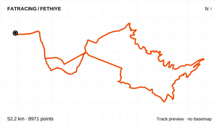
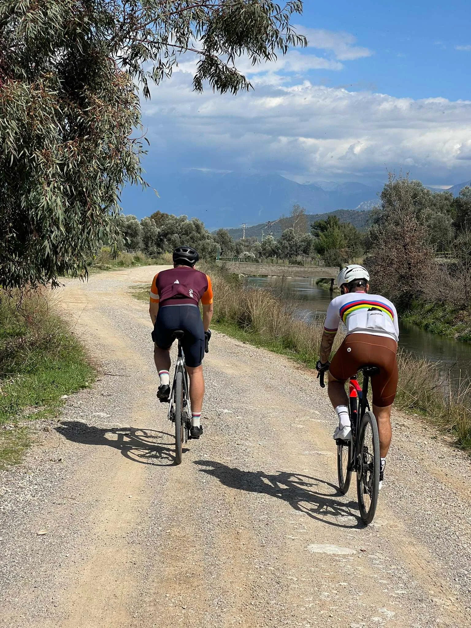
Easy on the curator’s scale. A longer canal variation with two or three short steep climbs; about 355 m climbing over 52 km.
From the collection of coach Alexey Mayskiy · Fethiye Gravel Roads
Climbing reported by Komoot: about 355 m.
Loop / out and back · 8,971 points. File elevations: 3–214 m above sea level. This is the altitude range, not total climbing.
The map background could not load; the track diagram is shown. Select the preview to open the full map.
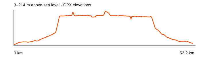
Source: Alexey Mayskiy / Fethiye Gravel Roads · data: 2024-03-15. Distance is calculated from the geometry; source announcements may round it differently. The OpenStreetMap background loads when you expand a route; if unavailable, the track diagram remains visible.
Medium technical difficulty according to the curator. An overgrown rocky climb and several river crossings on the descent to the D400; check water levels before riding.
From the collection of coach Alexey Mayskiy · Fethiye Gravel Roads
Climbing reported by Komoot: about 878 m.
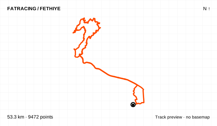
Loop / out and back · 9,472 points. File elevations: 4–381 m above sea level. This is the altitude range, not total climbing.
The map background could not load; the track diagram is shown. Select the preview to open the full map.
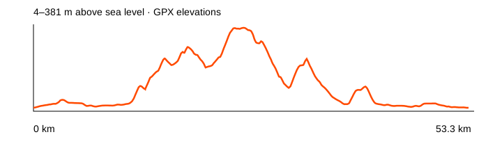
Source: Alexey Mayskiy / Fethiye Gravel Roads · data: 2025-01-13. Distance is calculated from the geometry; source announcements may round it differently. The OpenStreetMap background loads when you expand a route; if unavailable, the track diagram remains visible.
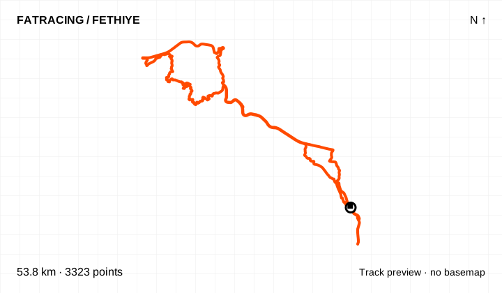
Easy on the curator’s scale, but he reports a locked gate on the descent to Günlüklü and suggests a northern road. This is the original GPX; passage and an alternative line are unverified.
From the collection of coach Alexey Mayskiy · Fethiye Gravel Roads
Climbing reported by Komoot: about 733 m.
Loop / out and back · 3,323 points. File elevations: 8–308 m above sea level. This is the altitude range, not total climbing.
The map background could not load; the track diagram is shown. Select the preview to open the full map.
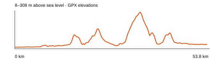
Source: Alexey Mayskiy / Fethiye Gravel Roads · data: 2023-12-20. Distance is calculated from the geometry; source announcements may round it differently. The OpenStreetMap background loads when you expand a route; if unavailable, the track diagram remains visible.
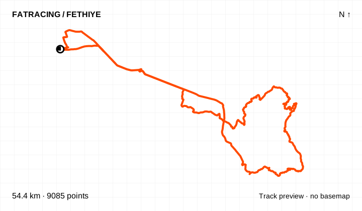
Easy on the curator’s scale. The description reports firm dirt roads; the climbing still makes this more than a flat recovery ride.
From the collection of coach Alexey Mayskiy · Fethiye Gravel Roads
Climbing reported by Komoot: about 800 m.
Loop / out and back · 9,085 points. File elevations: 4–459 m above sea level. This is the altitude range, not total climbing.
The map background could not load; the track diagram is shown. Select the preview to open the full map.
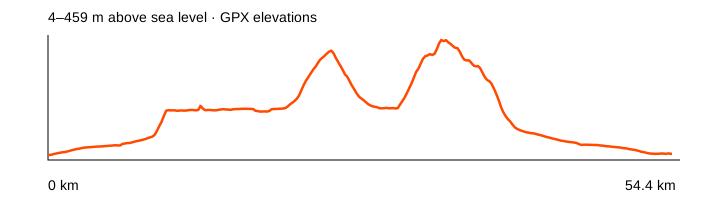
Source: Alexey Mayskiy / Fethiye Gravel Roads · data: 2025-02-05. Distance is calculated from the geometry; source announcements may round it differently. The OpenStreetMap background loads when you expand a route; if unavailable, the track diagram remains visible.
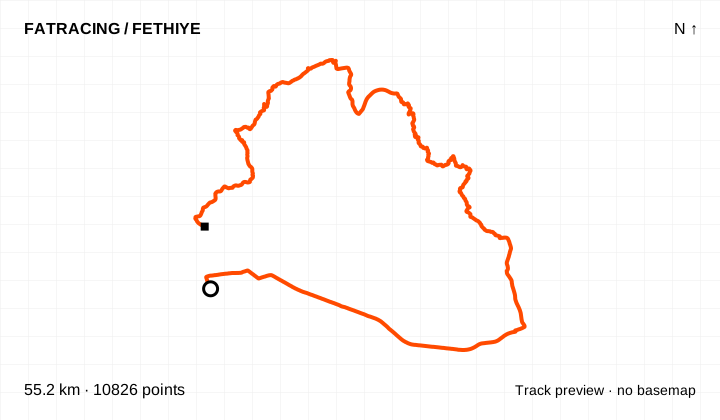
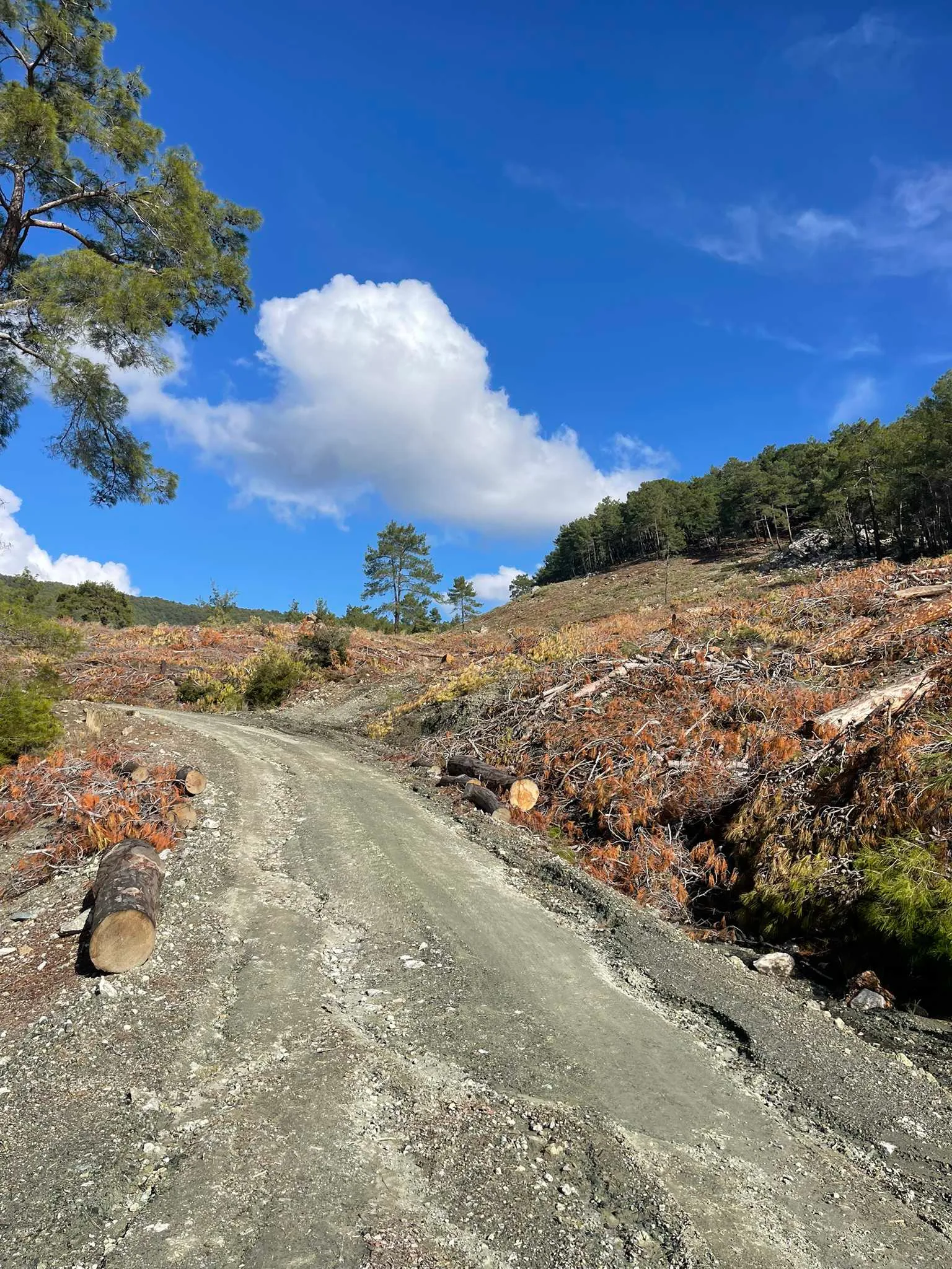
Easy on the curator’s scale. Asphalt climbing to Yakacık, then dirt roads; the descent to Üzümlü is rocky.
From the collection of coach Alexey Mayskiy · Fethiye Gravel Roads
Climbing reported by Komoot: about 1,025 m.
Different start and finish points · 10,826 points. File elevations: 5–827 m above sea level. This is the altitude range, not total climbing.
The map background could not load; the track diagram is shown. Select the preview to open the full map.
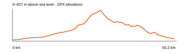
Source: Alexey Mayskiy / Fethiye Gravel Roads · data: 2024-01-11. Distance is calculated from the geometry; source announcements may round it differently. The OpenStreetMap background loads when you expand a route; if unavailable, the track diagram remains visible.
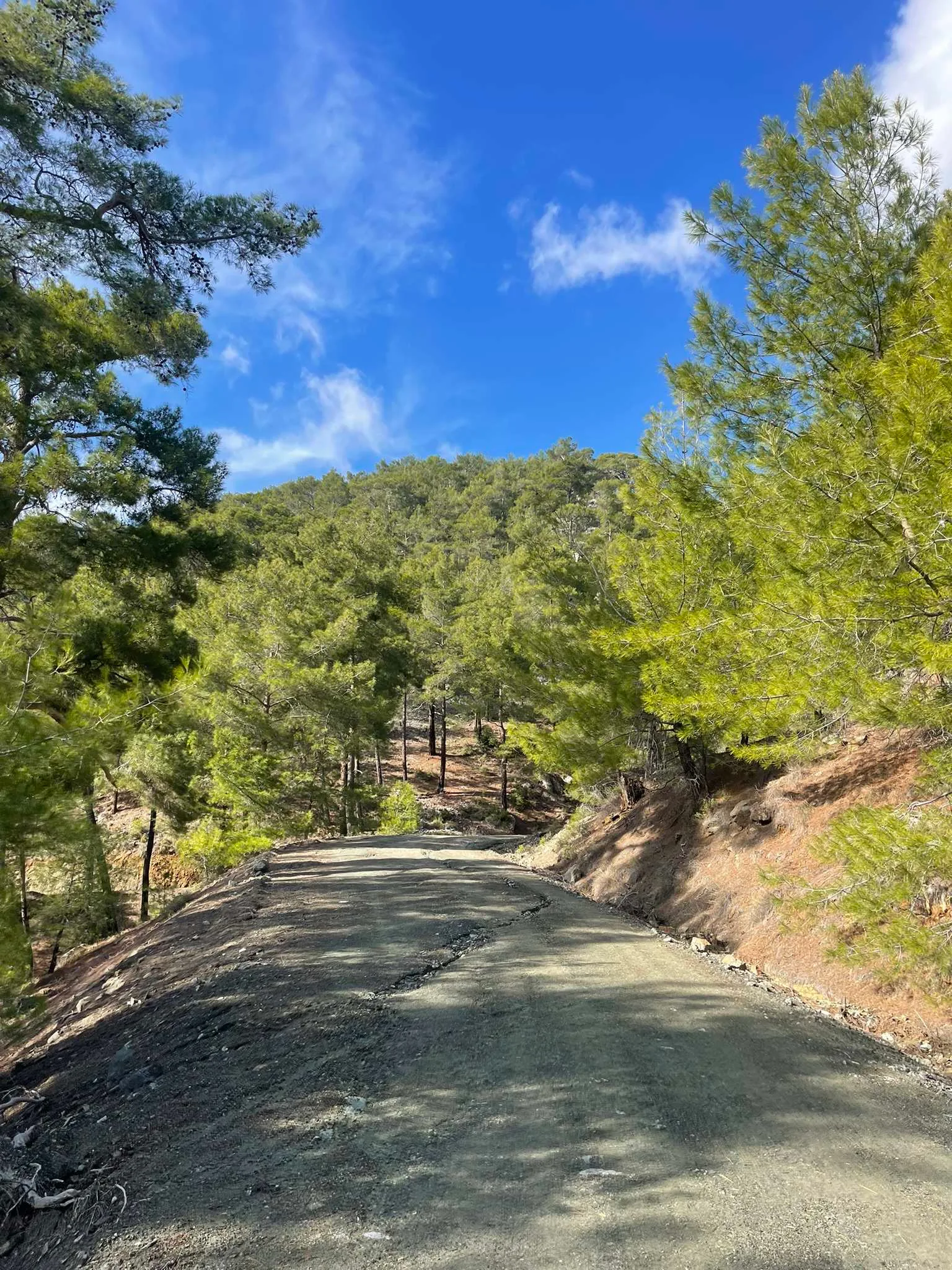
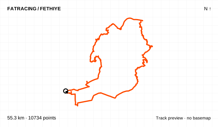
Medium technical difficulty according to the curator. The second half of the dirt climb to Üzümlü is steep and technical despite the moderate overall distance.
From the collection of coach Alexey Mayskiy · Fethiye Gravel Roads
Climbing reported by Komoot: about 1,284 m.
Loop / out and back · 10,734 points. File elevations: 2–862 m above sea level. This is the altitude range, not total climbing.
The map background could not load; the track diagram is shown. Select the preview to open the full map.
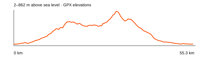
Source: Alexey Mayskiy / Fethiye Gravel Roads · data: 2025-03-08. Distance is calculated from the geometry; source announcements may round it differently. The OpenStreetMap background loads when you expand a route; if unavailable, the track diagram remains visible.
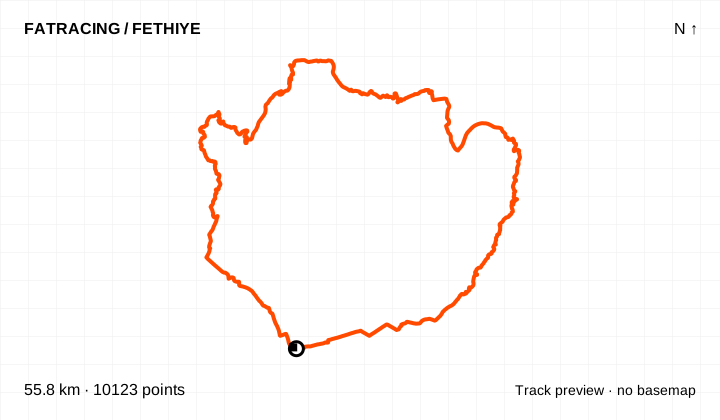
Hard technical difficulty according to the curator, with two particularly steep rocky sections near the top. Gentler roads after Eldirek are mentioned in the source; this GPX remains unchanged.
From the collection of coach Alexey Mayskiy · Fethiye Gravel Roads
Climbing reported by Komoot: about 1,282 m.
Loop / out and back · 10,123 points. File elevations: 3–638 m above sea level. This is the altitude range, not total climbing.
The map background could not load; the track diagram is shown. Select the preview to open the full map.
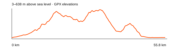
Source: Alexey Mayskiy / Fethiye Gravel Roads · data: 2025-02-17. Distance is calculated from the geometry; source announcements may round it differently. The OpenStreetMap background loads when you expand a route; if unavailable, the track diagram remains visible.
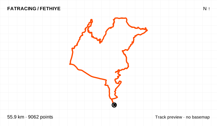
Medium technical difficulty according to the curator. Extends the coal-road ride to Green Valley, with a rocky descent into the valley.
From the collection of coach Alexey Mayskiy · Fethiye Gravel Roads
Climbing reported by Komoot: about 1,010 m.
Loop / out and back · 9,062 points. File elevations: 3–635 m above sea level. This is the altitude range, not total climbing.
The map background could not load; the track diagram is shown. Select the preview to open the full map.
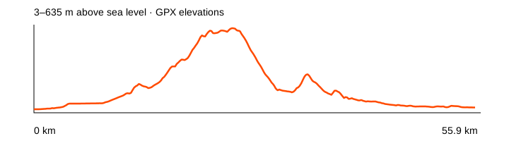
Source: Alexey Mayskiy / Fethiye Gravel Roads · data: 2024-12-19. Distance is calculated from the geometry; source announcements may round it differently. The OpenStreetMap background loads when you expand a route; if unavailable, the track diagram remains visible.
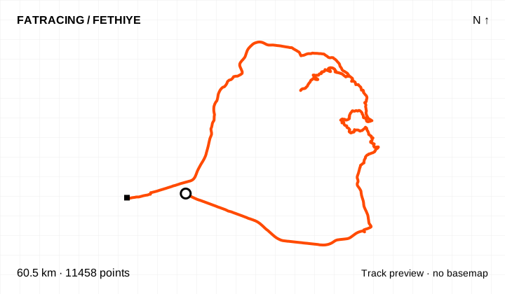
Easy on the curator’s scale. A recorded ride to ancient Kadyanda, distinct from the short official Antik Pedal segment. Check current access to the ruins separately.
From the collection of coach Alexey Mayskiy · Fethiye Gravel Roads
Climbing reported by Komoot: about 1,120 m.
Different start and finish points · 11,458 points. File elevations: 22–875 m above sea level. This is the altitude range, not total climbing.
The map background could not load; the track diagram is shown. Select the preview to open the full map.
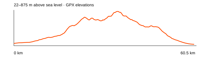
Source: Alexey Mayskiy / Fethiye Gravel Roads · data: 2024-10-21. Distance is calculated from the geometry; source announcements may round it differently. The OpenStreetMap background loads when you expand a route; if unavailable, the track diagram remains visible.
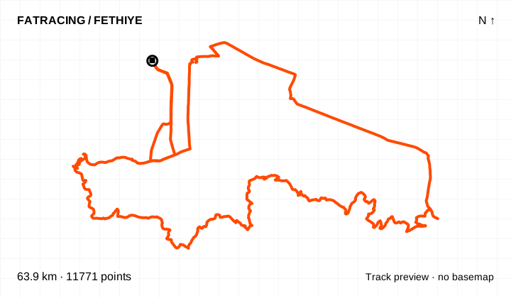
Medium technical difficulty according to the curator. Rocky descent from Mendos, with a puncture warning; an MTB is more comfortable on this section.
From the collection of coach Alexey Mayskiy · Fethiye Gravel Roads
Climbing reported by Komoot: about 1,270 m.
Loop / out and back · 11,771 points. File elevations: 4–686 m above sea level. This is the altitude range, not total climbing.
The map background could not load; the track diagram is shown. Select the preview to open the full map.
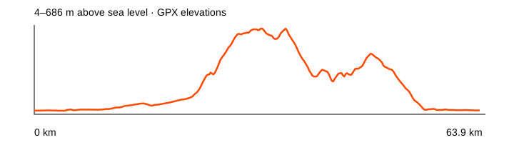
Source: Alexey Mayskiy / Fethiye Gravel Roads · data: 2025-01-16. Distance is calculated from the geometry; source announcements may round it differently. The OpenStreetMap background loads when you expand a route; if unavailable, the track diagram remains visible.
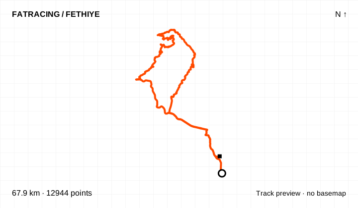
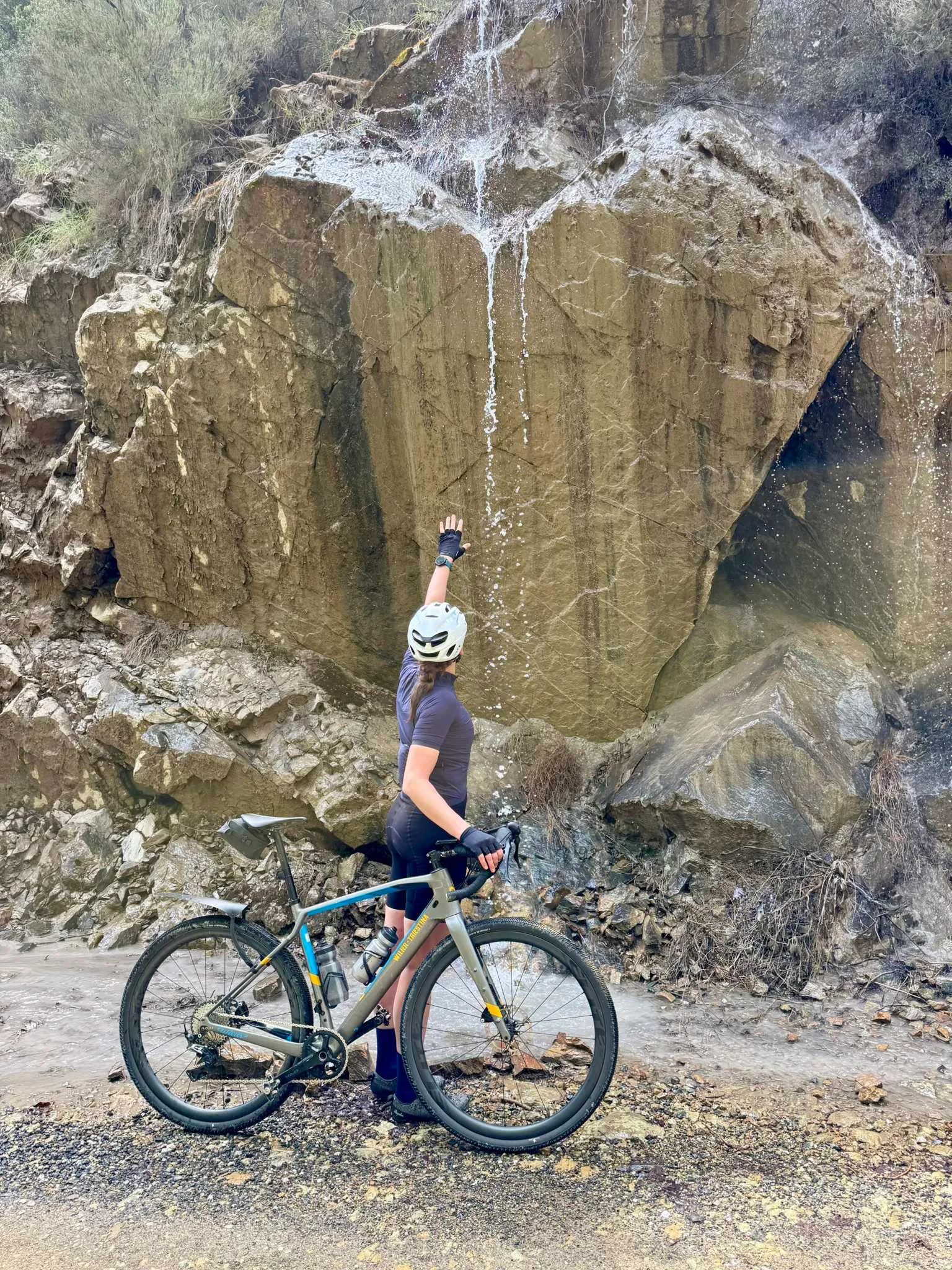
Medium technical difficulty according to the curator. Through the valley to the pass towards İnlice, returning on the D400. Waterfalls are seasonal, reported in spring and after rain.
From the collection of coach Alexey Mayskiy · Fethiye Gravel Roads
Climbing reported by Komoot: about 1,395 m.
Different start and finish points · 12,944 points. File elevations: -9–721 m above sea level. This is the altitude range, not total climbing.
The map background could not load; the track diagram is shown. Select the preview to open the full map.
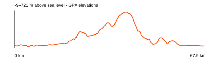
Source: Alexey Mayskiy / Fethiye Gravel Roads · data: 2026-03-31. Distance is calculated from the geometry; source announcements may round it differently. The OpenStreetMap background loads when you expand a route; if unavailable, the track diagram remains visible.
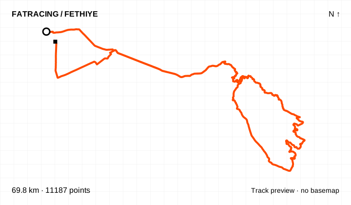
Easy on the curator’s scale, with few technical sections reported on the dirt roads. A longer variation than Bozyer loop.
From the collection of coach Alexey Mayskiy · Fethiye Gravel Roads
Climbing reported by Komoot: about 800 m.
Different start and finish points · 11,187 points. File elevations: 4–436 m above sea level. This is the altitude range, not total climbing.
The map background could not load; the track diagram is shown. Select the preview to open the full map.
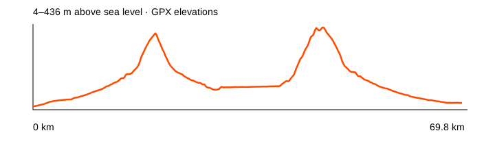
Source: Alexey Mayskiy / Fethiye Gravel Roads · data: 2024-11-14. Distance is calculated from the geometry; source announcements may round it differently. The OpenStreetMap background loads when you expand a route; if unavailable, the track diagram remains visible.
The curator’s easy rating assumes an asphalt bypass of Bozyer. This GPX retains the original line, including the steep technical end of the dirt climb in Bozyer.
From the collection of coach Alexey Mayskiy · Fethiye Gravel Roads
Climbing reported by Komoot: about 1,761 m.
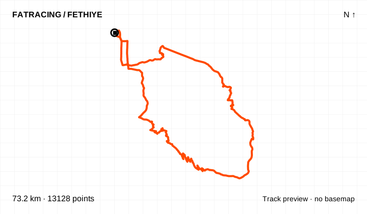
Loop / out and back · 13,128 points. File elevations: -3–1195 m above sea level. This is the altitude range, not total climbing.
The map background could not load; the track diagram is shown. Select the preview to open the full map.
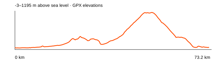
Source: Alexey Mayskiy / Fethiye Gravel Roads · data: 2025-03-15. Distance is calculated from the geometry; source announcements may round it differently. The OpenStreetMap background loads when you expand a route; if unavailable, the track diagram remains visible.
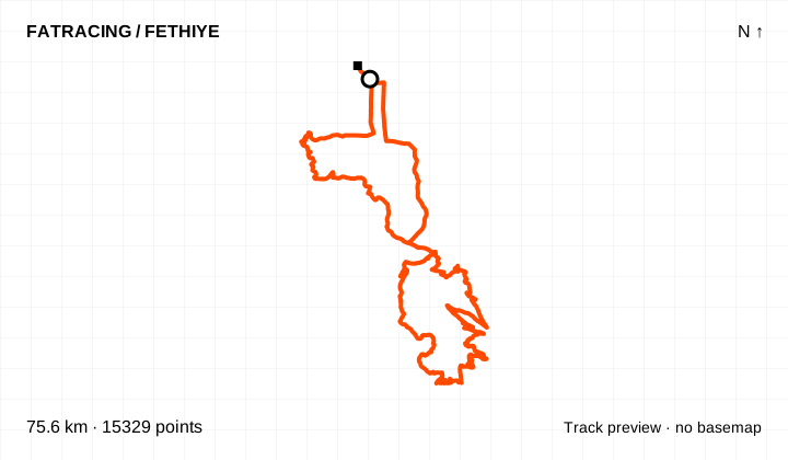
Hard technical difficulty according to the curator. Via Ölüdeniz and Kirme to the summit; the climb steepens above 1,500 m and may require walking. Carry warm layers for the descent.
From the collection of coach Alexey Mayskiy · Fethiye Gravel Roads
Climbing reported by Komoot: about 2,487 m.
Different start and finish points · 15,329 points. File elevations: 2–1927 m above sea level. This is the altitude range, not total climbing.
The map background could not load; the track diagram is shown. Select the preview to open the full map.
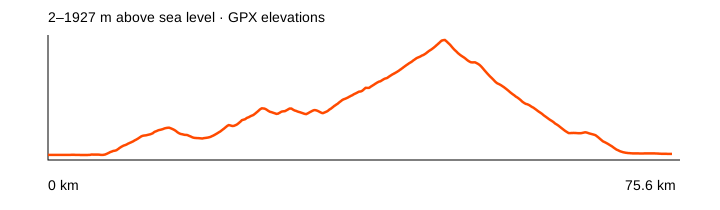
Source: Alexey Mayskiy / Fethiye Gravel Roads · data: 2024-10-29. Distance is calculated from the geometry; source announcements may round it differently. The OpenStreetMap background loads when you expand a route; if unavailable, the track diagram remains visible.
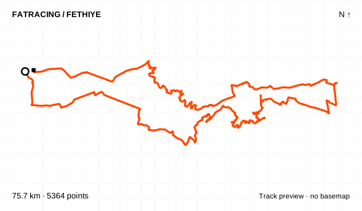
Easy on the curator’s scale. Extends the canal ride to Seydikemer using minor and dirt roads; about 75 km.
From the collection of coach Alexey Mayskiy · Fethiye Gravel Roads
Climbing reported by Komoot: about 785 m.
Different start and finish points · 5,364 points. File elevations: 2–450 m above sea level. This is the altitude range, not total climbing.
The map background could not load; the track diagram is shown. Select the preview to open the full map.
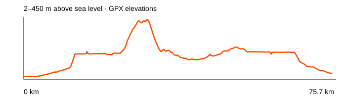
Source: Alexey Mayskiy / Fethiye Gravel Roads · data: 2023-12-19. Distance is calculated from the geometry; source announcements may round it differently. The OpenStreetMap background loads when you expand a route; if unavailable, the track diagram remains visible.
Easy on the curator’s scale. Climb from Çayan and descend to Üzümlü. The original GPX includes an optional river-crossing loop with a hike-a-bike section.
From the collection of coach Alexey Mayskiy · Fethiye Gravel Roads
Climbing reported by Komoot: about 1,691 m.
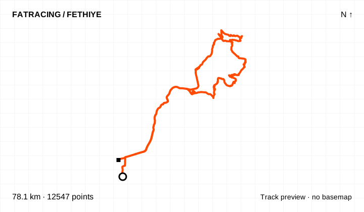
Different start and finish points · 12,547 points. File elevations: -2–1015 m above sea level. This is the altitude range, not total climbing.
The map background could not load; the track diagram is shown. Select the preview to open the full map.
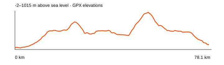
Source: Alexey Mayskiy / Fethiye Gravel Roads · data: 2026-03-25. Distance is calculated from the geometry; source announcements may round it differently. The OpenStreetMap background loads when you expand a route; if unavailable, the track diagram remains visible.
Easy on the curator’s scale. Asphalt to Oyruk, then dirt and a rocky descent to Üzümlü. The suggested asphalt alternative has not been substituted into this GPX.
From the collection of coach Alexey Mayskiy · Fethiye Gravel Roads
Climbing reported by Komoot: about 1,466 m.
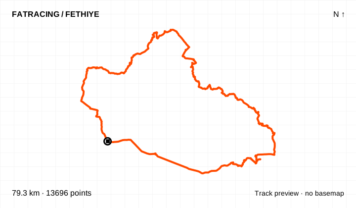
Loop / out and back · 13,696 points. File elevations: 4–820 m above sea level. This is the altitude range, not total climbing.
The map background could not load; the track diagram is shown. Select the preview to open the full map.
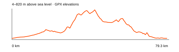
Source: Alexey Mayskiy / Fethiye Gravel Roads · data: 2025-01-27. Distance is calculated from the geometry; source announcements may round it differently. The OpenStreetMap background loads when you expand a route; if unavailable, the track diagram remains visible.
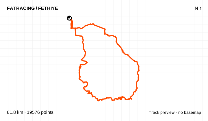
Easy on the curator’s technical scale and in his top five. Dirt climbing from Pınara to Kirme and around Babadağ; 81 km and about 1,930 m climbing still demand endurance.
From the collection of coach Alexey Mayskiy · Fethiye Gravel Roads
Climbing reported by Komoot: about 1,927 m.
Loop / out and back · 19,576 points. File elevations: 5–1051 m above sea level. This is the altitude range, not total climbing.
The map background could not load; the track diagram is shown. Select the preview to open the full map.
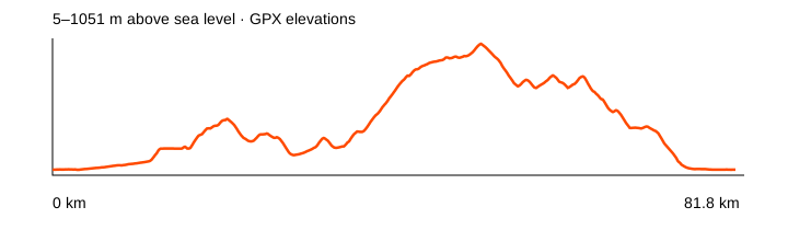
Source: Alexey Mayskiy / Fethiye Gravel Roads · data: 2024-03-30. Distance is calculated from the geometry; source announcements may round it differently. The OpenStreetMap background loads when you expand a route; if unavailable, the track diagram remains visible.
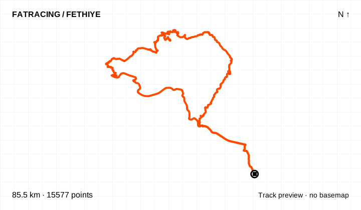
Hard technical difficulty according to the curator. Steep rocky climbing from Göcek may require walking, followed by a long rocky riverside descent into Green Valley.
From the collection of coach Alexey Mayskiy · Fethiye Gravel Roads
Climbing reported by Komoot: about 2,015 m.
Loop / out and back · 15,577 points. File elevations: 2–1077 m above sea level. This is the altitude range, not total climbing.
The map background could not load; the track diagram is shown. Select the preview to open the full map.
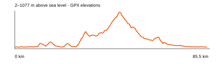
Source: Alexey Mayskiy / Fethiye Gravel Roads · data: 2025-03-12. Distance is calculated from the geometry; source announcements may round it differently. The OpenStreetMap background loads when you expand a route; if unavailable, the track diagram remains visible.
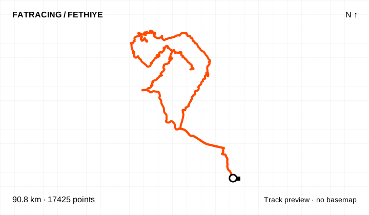
Medium technical difficulty and in the curator’s top five. Steep dirt climbs out of the valley and towards Dikmentepe, then a descent to İnlice; about 2,390 m climbing.
From the collection of coach Alexey Mayskiy · Fethiye Gravel Roads
Climbing reported by Komoot: about 2,391 m.
Different start and finish points · 17,425 points. File elevations: 0–1090 m above sea level. This is the altitude range, not total climbing.
The map background could not load; the track diagram is shown. Select the preview to open the full map.
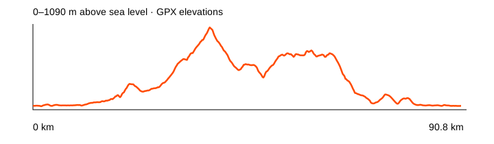
Source: Alexey Mayskiy / Fethiye Gravel Roads · data: 2025-03-20. Distance is calculated from the geometry; source announcements may round it differently. The OpenStreetMap background loads when you expand a route; if unavailable, the track diagram remains visible.
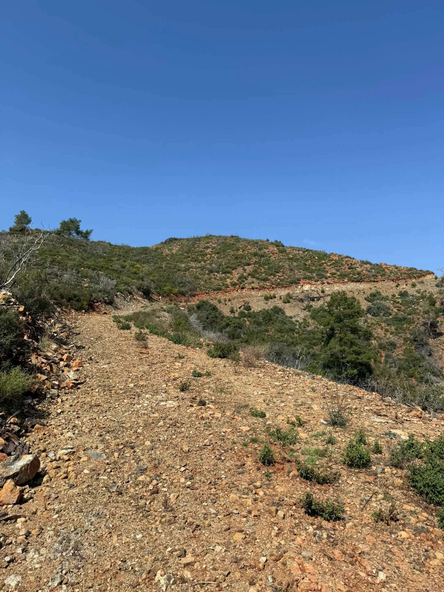
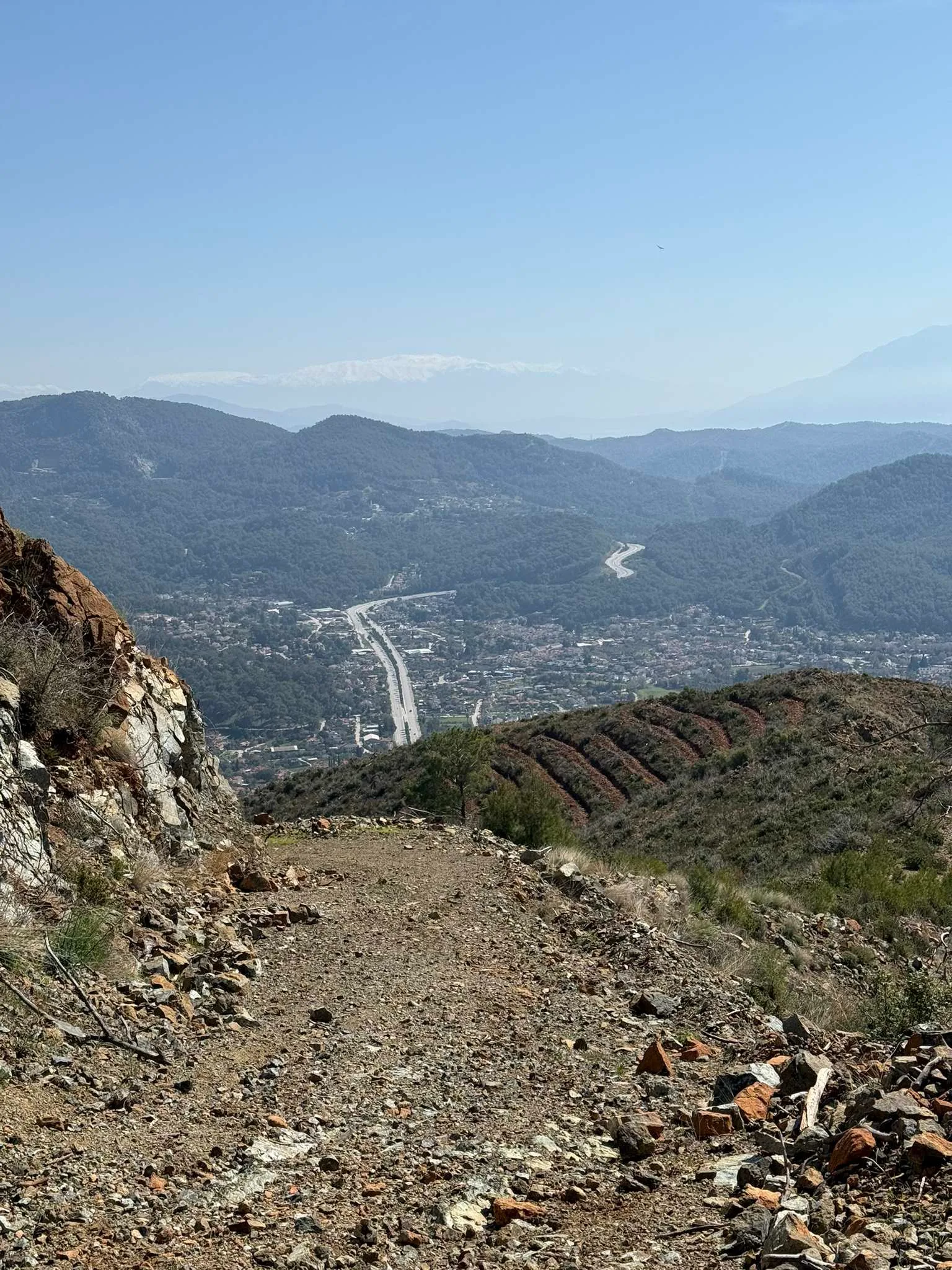
Medium technical difficulty according to the curator. Loose rocks on the upper climb; the source reports gradients of about 15–17% in the final kilometre.
From the collection of coach Alexey Mayskiy · Fethiye Gravel Roads
Climbing reported by Komoot: about 1,948 m.
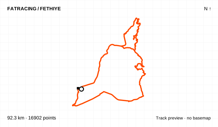
Different start and finish points · 16,902 points. File elevations: 3–1412 m above sea level. This is the altitude range, not total climbing.
The map background could not load; the track diagram is shown. Select the preview to open the full map.
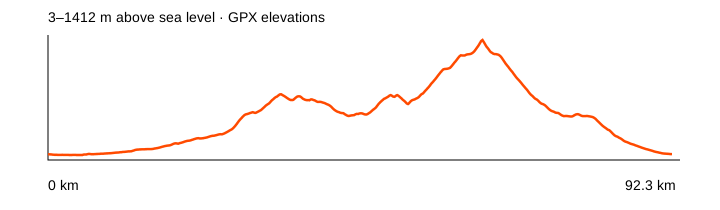
Source: Alexey Mayskiy / Fethiye Gravel Roads · data: 2025-10-18. Distance is calculated from the geometry; source announcements may round it differently. The OpenStreetMap background loads when you expand a route; if unavailable, the track diagram remains visible.
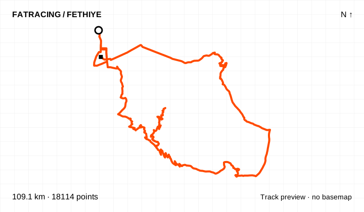
Medium technical difficulty according to the curator. The initial dirt climb has a smooth surface; beyond the plateau, a second climb and the descent have large rocks.
From the collection of coach Alexey Mayskiy · Fethiye Gravel Roads
Climbing reported by Komoot: about 2,064 m.
Different start and finish points · 18,114 points. File elevations: 3–1514 m above sea level. This is the altitude range, not total climbing.
The map background could not load; the track diagram is shown. Select the preview to open the full map.
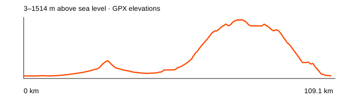
Source: Alexey Mayskiy / Fethiye Gravel Roads · data: 2025-10-23. Distance is calculated from the geometry; source announcements may round it differently. The OpenStreetMap background loads when you expand a route; if unavailable, the track diagram remains visible.
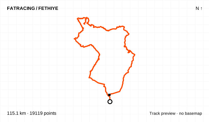
Easy on the curator’s technical scale, but about 115 km and 2,810 m climbing. Via Green Valley, Taşbaşı and the foot of Çal; shops are sparse according to the source.
From the collection of coach Alexey Mayskiy · Fethiye Gravel Roads
Climbing reported by Komoot: about 2,810 m.
Different start and finish points · 19,119 points. File elevations: -3–1440 m above sea level. This is the altitude range, not total climbing.
The map background could not load; the track diagram is shown. Select the preview to open the full map.
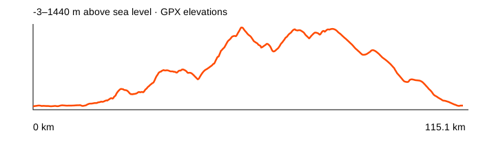
Source: Alexey Mayskiy / Fethiye Gravel Roads · data: 2026-03-30. Distance is calculated from the geometry; source announcements may round it differently. The OpenStreetMap background loads when you expand a route; if unavailable, the track diagram remains visible.
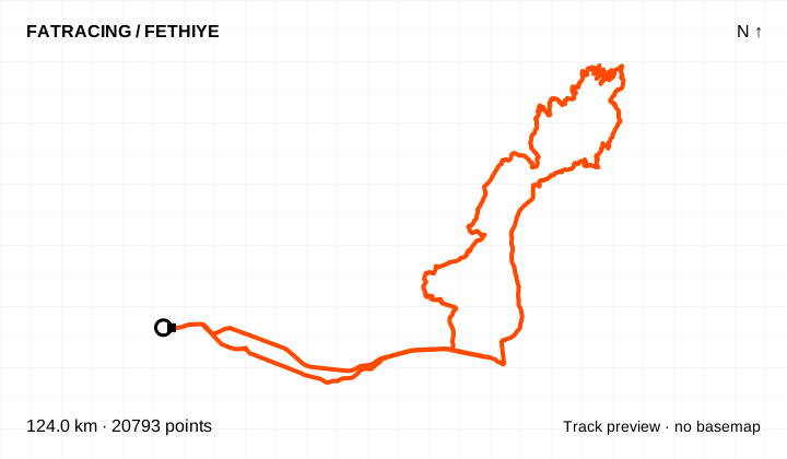
Medium technical difficulty according to the curator. Via Oyruk and Ören to the hydroelectric plant in the canyon; leaving the canyon requires about 800 m of vertical climbing.
From the collection of coach Alexey Mayskiy · Fethiye Gravel Roads
Climbing reported by Komoot: about 2,362 m.
Different start and finish points · 20,793 points. File elevations: 6–1274 m above sea level. This is the altitude range, not total climbing.
The map background could not load; the track diagram is shown. Select the preview to open the full map.
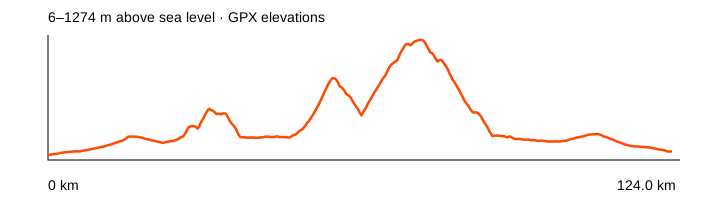
Source: Alexey Mayskiy / Fethiye Gravel Roads · data: 2025-03-26. Distance is calculated from the geometry; source announcements may round it differently. The OpenStreetMap background loads when you expand a route; if unavailable, the track diagram remains visible.
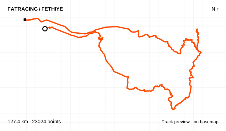
Hard technical difficulty according to the curator. A long mountain loop by Akdağ, with a steep rocky final climb to Karadağ and a return through Seydikemer.
From the collection of coach Alexey Mayskiy · Fethiye Gravel Roads
Climbing reported by Komoot: about 2,717 m.
Different start and finish points · 23,024 points. File elevations: 23–2000 m above sea level. This is the altitude range, not total climbing.
The map background could not load; the track diagram is shown. Select the preview to open the full map.
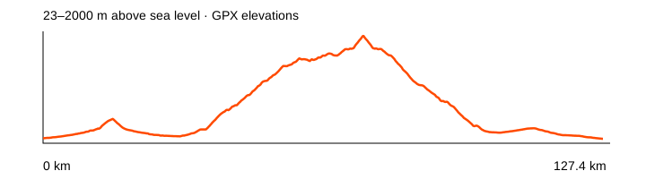
Source: Alexey Mayskiy / Fethiye Gravel Roads · data: 2024-10-24. Distance is calculated from the geometry; source announcements may round it differently. The OpenStreetMap background loads when you expand a route; if unavailable, the track diagram remains visible.
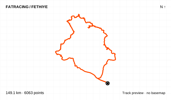
Medium technical difficulty according to the curator. Route credited to Nikolay Milovidov: asphalt up to Nif, dirt down into a canyon, and back through Göcek; about 149 km and 3,090 m climbing.
From the collection of coach Alexey Mayskiy · Fethiye Gravel Roads
Climbing reported by Komoot: about 3,089 m.
Loop / out and back · 6,063 points. File elevations: 4–1476 m above sea level. This is the altitude range, not total climbing.
The map background could not load; the track diagram is shown. Select the preview to open the full map.
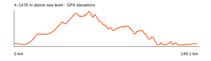
Source: Alexey Mayskiy / Fethiye Gravel Roads · data: 2026-04-04. Distance is calculated from the geometry; source announcements may round it differently. The OpenStreetMap background loads when you expand a route; if unavailable, the track diagram remains visible.
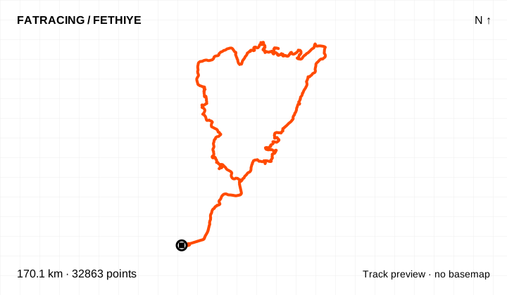
Medium technical difficulty according to the curator, but a major endurance ride. The collection’s highest point is around 2,140 m, with a very steep upper section and two high passes.
From the collection of coach Alexey Mayskiy · Fethiye Gravel Roads
Climbing reported by Komoot: about 4,456 m.
Loop / out and back · 32,863 points. File elevations: 4–2143 m above sea level. This is the altitude range, not total climbing.
The map background could not load; the track diagram is shown. Select the preview to open the full map.
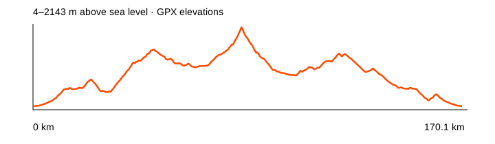
Source: Alexey Mayskiy / Fethiye Gravel Roads · data: 2024-03-21. Distance is calculated from the geometry; source announcements may round it differently. The OpenStreetMap background loads when you expand a route; if unavailable, the track diagram remains visible.
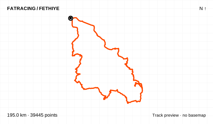
Hard technical difficulty according to the curator. Mostly asphalt, with a dirt climb to Dumanlı Dağ. The collection’s longest ride: about 194 km and 5,070 m climbing.
From the collection of coach Alexey Mayskiy · Fethiye Gravel Roads
Climbing reported by Komoot: about 5,070 m.
Loop / out and back · 39,445 points. File elevations: 1–1902 m above sea level. This is the altitude range, not total climbing.
The map background could not load; the track diagram is shown. Select the preview to open the full map.
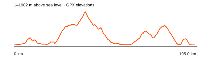
Source: Alexey Mayskiy / Fethiye Gravel Roads · data: 2024-03-28. Distance is calculated from the geometry; source announcements may round it differently. The OpenStreetMap background loads when you expand a route; if unavailable, the track diagram remains visible.
The primary source is the municipal Antik Pedal catalogue. The GPX files were converted from its published KMZ, preserving the original lines without routing new roads. Turkish place names are retained so you can match them to signs.
The downloadable map contains 33 cycling branches, including AR6b and Ar22a. We excluded the separate Ar4a line labelled as a walk. Zero and incomplete elevation values prevent a reliable profile. Do not infer difficulty or access from distance: mountain connections may require an MTB, walking sections and advance reconnaissance.
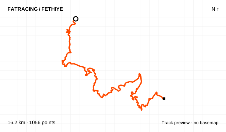
A branch of the official Antik Pedal network. The distance covers the displayed segment, not a return ride from central Fethiye.
Linear segment · 1,056 points. The source has no reliable elevations; no profile or climbing figure is shown.
The map background could not load; the track diagram is shown. Select the preview to open the full map.
Source: Antik Pedal · Fethiye Belediyesi · data: 2023-06. Distance is calculated from the geometry; source announcements may round it differently. The OpenStreetMap background loads when you expand a route; if unavailable, the track diagram remains visible.
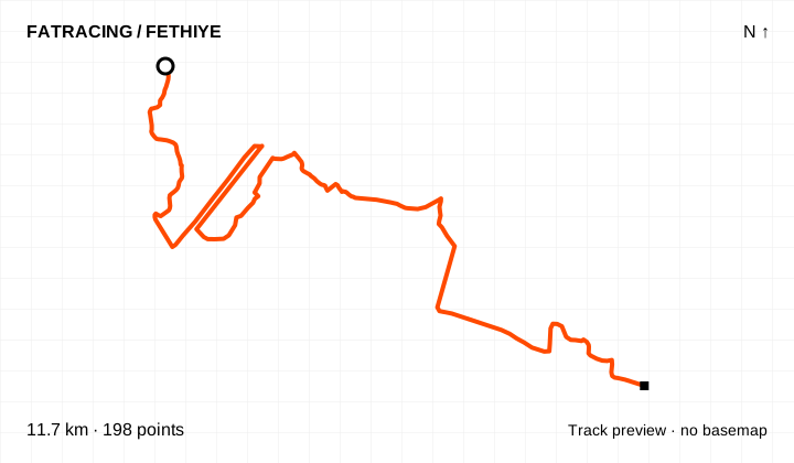
A branch of the official Antik Pedal network. The distance covers the displayed segment, not a return ride from central Fethiye.
Linear segment · 198 points. The source has no reliable elevations; no profile or climbing figure is shown.
The map background could not load; the track diagram is shown. Select the preview to open the full map.
Source: Antik Pedal · Fethiye Belediyesi · data: 2023-06. Distance is calculated from the geometry; source announcements may round it differently. The OpenStreetMap background loads when you expand a route; if unavailable, the track diagram remains visible.
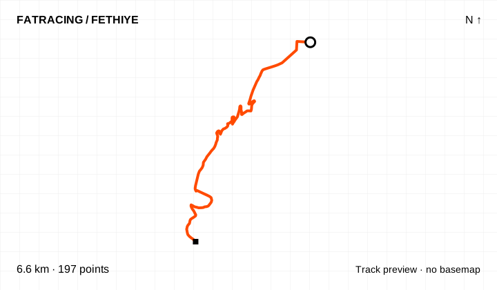
A branch of the official Antik Pedal network. The distance covers the displayed segment, not a return ride from central Fethiye.
Linear segment · 197 points. The source has no reliable elevations; no profile or climbing figure is shown.
The map background could not load; the track diagram is shown. Select the preview to open the full map.
Source: Antik Pedal · Fethiye Belediyesi · data: 2023-06. Distance is calculated from the geometry; source announcements may round it differently. The OpenStreetMap background loads when you expand a route; if unavailable, the track diagram remains visible.
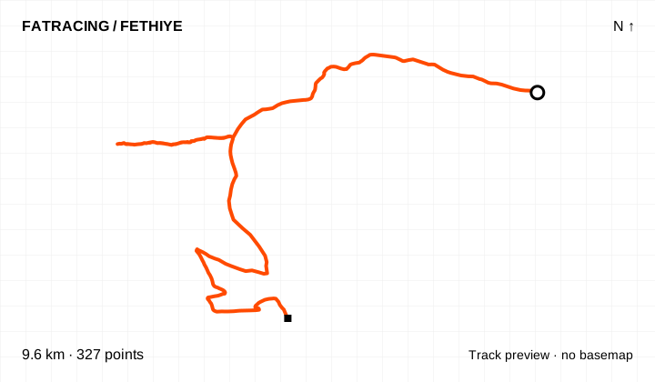
A Kayaköy–Afkule variation continuing towards Gemiler. The separate walking segment to the monastery in the source map is excluded from the cycling catalogue.
Linear segment · 327 points. The source has no reliable elevations; no profile or climbing figure is shown.
The map background could not load; the track diagram is shown. Select the preview to open the full map.
Source: Antik Pedal · Fethiye Belediyesi · data: 2023-06. Distance is calculated from the geometry; source announcements may round it differently. The OpenStreetMap background loads when you expand a route; if unavailable, the track diagram remains visible.
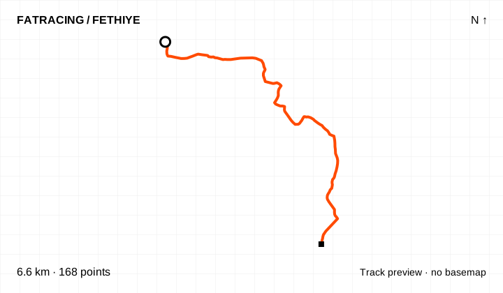
A branch of the official Antik Pedal network. The distance covers the displayed segment, not a return ride from central Fethiye.
Linear segment · 168 points. The source has no reliable elevations; no profile or climbing figure is shown.
The map background could not load; the track diagram is shown. Select the preview to open the full map.
Source: Antik Pedal · Fethiye Belediyesi · data: 2023-06. Distance is calculated from the geometry; source announcements may round it differently. The OpenStreetMap background loads when you expand a route; if unavailable, the track diagram remains visible.
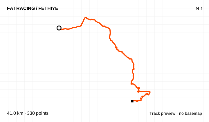
A branch of the official Antik Pedal network. The distance covers the displayed segment, not a return ride from central Fethiye.
Linear segment · 330 points. The source has no reliable elevations; no profile or climbing figure is shown.
The map background could not load; the track diagram is shown. Select the preview to open the full map.
Source: Antik Pedal · Fethiye Belediyesi · data: 2023-06. Distance is calculated from the geometry; source announcements may round it differently. The OpenStreetMap background loads when you expand a route; if unavailable, the track diagram remains visible.
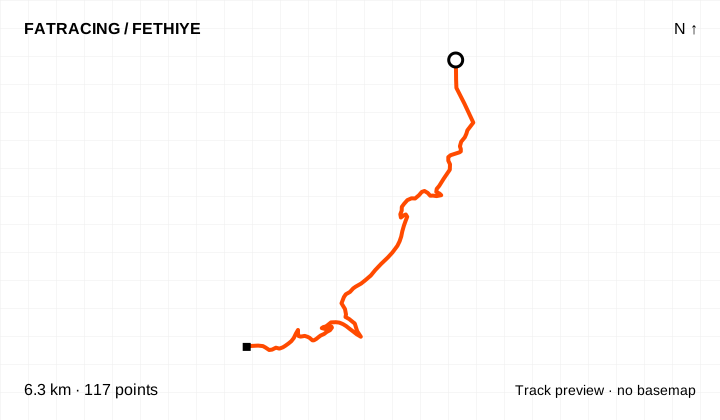
A branch of the official Antik Pedal network. The distance covers the displayed segment, not a return ride from central Fethiye.
Linear segment · 117 points. The source has no reliable elevations; no profile or climbing figure is shown.
The map background could not load; the track diagram is shown. Select the preview to open the full map.
Source: Antik Pedal · Fethiye Belediyesi · data: 2023-06. Distance is calculated from the geometry; source announcements may round it differently. The OpenStreetMap background loads when you expand a route; if unavailable, the track diagram remains visible.
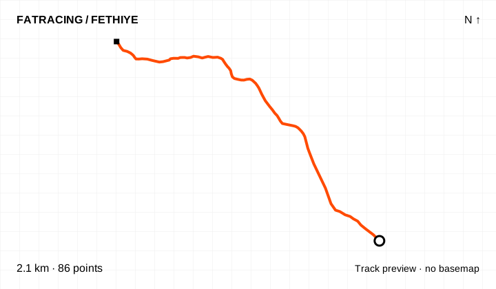
A branch of the official Antik Pedal network. The distance covers the displayed segment, not a return ride from central Fethiye.
Linear segment · 86 points. The source has no reliable elevations; no profile or climbing figure is shown.
The map background could not load; the track diagram is shown. Select the preview to open the full map.
Source: Antik Pedal · Fethiye Belediyesi · data: 2023-06. Distance is calculated from the geometry; source announcements may round it differently. The OpenStreetMap background loads when you expand a route; if unavailable, the track diagram remains visible.
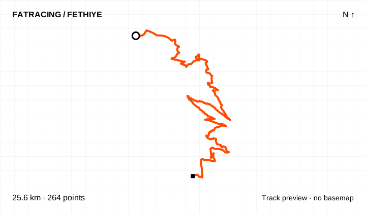
A climb from Ovacık to the summit of Babadağ, followed by a dirt descent to the main network. The complete track is not a road-bike out-and-back.
Linear segment · 264 points. The source has no reliable elevations; no profile or climbing figure is shown.
The map background could not load; the track diagram is shown. Select the preview to open the full map.
Source: Antik Pedal · Fethiye Belediyesi · data: 2023-06. Distance is calculated from the geometry; source announcements may round it differently. The OpenStreetMap background loads when you expand a route; if unavailable, the track diagram remains visible.
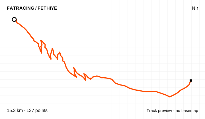
A branch of the official Antik Pedal network. The distance covers the displayed segment, not a return ride from central Fethiye.
Linear segment · 137 points. The source has no reliable elevations; no profile or climbing figure is shown.
The map background could not load; the track diagram is shown. Select the preview to open the full map.
Source: Antik Pedal · Fethiye Belediyesi · data: 2023-06. Distance is calculated from the geometry; source announcements may round it differently. The OpenStreetMap background loads when you expand a route; if unavailable, the track diagram remains visible.
A branch of the official Antik Pedal network. The distance covers the displayed segment, not a return ride from central Fethiye.
Linear segment · 108 points. The source has no reliable elevations; no profile or climbing figure is shown.
The map background could not load; the track diagram is shown. Select the preview to open the full map.
Source: Antik Pedal · Fethiye Belediyesi · data: 2023-06. Distance is calculated from the geometry; source announcements may round it differently. The OpenStreetMap background loads when you expand a route; if unavailable, the track diagram remains visible.
A branch of the official Antik Pedal network. The distance covers the displayed segment, not a return ride from central Fethiye.
Linear segment · 237 points. The source has no reliable elevations; no profile or climbing figure is shown.
The map background could not load; the track diagram is shown. Select the preview to open the full map.
Source: Antik Pedal · Fethiye Belediyesi · data: 2023-06. Distance is calculated from the geometry; source announcements may round it differently. The OpenStreetMap background loads when you expand a route; if unavailable, the track diagram remains visible.
A branch of the official Antik Pedal network. The distance covers the displayed segment, not a return ride from central Fethiye.
Linear segment · 430 points. The source has no reliable elevations; no profile or climbing figure is shown.
The map background could not load; the track diagram is shown. Select the preview to open the full map.
Source: Antik Pedal · Fethiye Belediyesi · data: 2023-06. Distance is calculated from the geometry; source announcements may round it differently. The OpenStreetMap background loads when you expand a route; if unavailable, the track diagram remains visible.
A branch of the official Antik Pedal network. The distance covers the displayed segment, not a return ride from central Fethiye.
Linear segment · 285 points. The source has no reliable elevations; no profile or climbing figure is shown.
The map background could not load; the track diagram is shown. Select the preview to open the full map.
Source: Antik Pedal · Fethiye Belediyesi · data: 2023-06. Distance is calculated from the geometry; source announcements may round it differently. The OpenStreetMap background loads when you expand a route; if unavailable, the track diagram remains visible.
A branch of the official Antik Pedal network. The distance covers the displayed segment, not a return ride from central Fethiye.
Linear segment · 454 points. The source has no reliable elevations; no profile or climbing figure is shown.
The map background could not load; the track diagram is shown. Select the preview to open the full map.
Source: Antik Pedal · Fethiye Belediyesi · data: 2023-06. Distance is calculated from the geometry; source announcements may round it differently. The OpenStreetMap background loads when you expand a route; if unavailable, the track diagram remains visible.
A branch of the official Antik Pedal network. The distance covers the displayed segment, not a return ride from central Fethiye.
Linear segment · 64 points. The source has no reliable elevations; no profile or climbing figure is shown.
The map background could not load; the track diagram is shown. Select the preview to open the full map.
Source: Antik Pedal · Fethiye Belediyesi · data: 2023-06. Distance is calculated from the geometry; source announcements may round it differently. The OpenStreetMap background loads when you expand a route; if unavailable, the track diagram remains visible.
A branch of the official Antik Pedal network. The distance covers the displayed segment, not a return ride from central Fethiye.
Linear segment · 114 points. The source has no reliable elevations; no profile or climbing figure is shown.
The map background could not load; the track diagram is shown. Select the preview to open the full map.
Source: Antik Pedal · Fethiye Belediyesi · data: 2023-06. Distance is calculated from the geometry; source announcements may round it differently. The OpenStreetMap background loads when you expand a route; if unavailable, the track diagram remains visible.
A branch of the official Antik Pedal network. The distance covers the displayed segment, not a return ride from central Fethiye.
Linear segment · 641 points. The source has no reliable elevations; no profile or climbing figure is shown.
The map background could not load; the track diagram is shown. Select the preview to open the full map.
Source: Antik Pedal · Fethiye Belediyesi · data: 2023-06. Distance is calculated from the geometry; source announcements may round it differently. The OpenStreetMap background loads when you expand a route; if unavailable, the track diagram remains visible.
A branch of the official Antik Pedal network. The distance covers the displayed segment, not a return ride from central Fethiye.
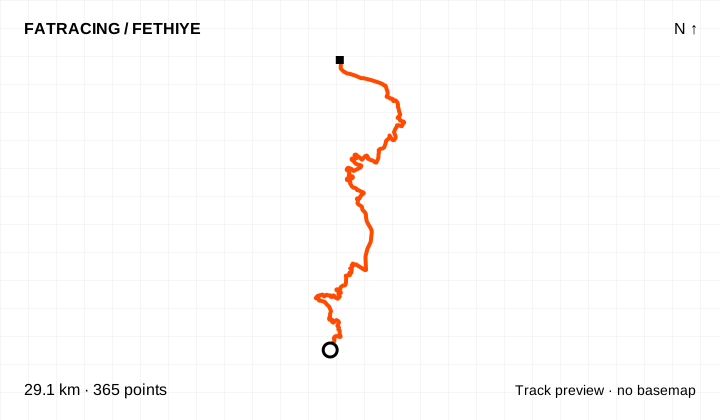
Linear segment · 365 points. The source has no reliable elevations; no profile or climbing figure is shown.
The map background could not load; the track diagram is shown. Select the preview to open the full map.
Source: Antik Pedal · Fethiye Belediyesi · data: 2023-06. Distance is calculated from the geometry; source announcements may round it differently. The OpenStreetMap background loads when you expand a route; if unavailable, the track diagram remains visible.
A branch of the official Antik Pedal network. The distance covers the displayed segment, not a return ride from central Fethiye.
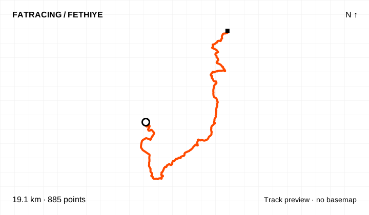
Linear segment · 885 points. The source has no reliable elevations; no profile or climbing figure is shown.
The map background could not load; the track diagram is shown. Select the preview to open the full map.
Source: Antik Pedal · Fethiye Belediyesi · data: 2023-06. Distance is calculated from the geometry; source announcements may round it differently. The OpenStreetMap background loads when you expand a route; if unavailable, the track diagram remains visible.
A branch of the official Antik Pedal network. The distance covers the displayed segment, not a return ride from central Fethiye.
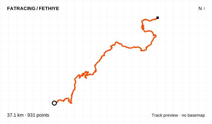
Linear segment · 931 points. The source has no reliable elevations; no profile or climbing figure is shown.
The map background could not load; the track diagram is shown. Select the preview to open the full map.
Source: Antik Pedal · Fethiye Belediyesi · data: 2023-06. Distance is calculated from the geometry; source announcements may round it differently. The OpenStreetMap background loads when you expand a route; if unavailable, the track diagram remains visible.
A branch of the official Antik Pedal network. The distance covers the displayed segment, not a return ride from central Fethiye.
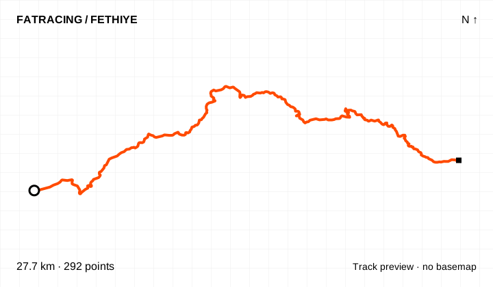
Linear segment · 292 points. The source has no reliable elevations; no profile or climbing figure is shown.
The map background could not load; the track diagram is shown. Select the preview to open the full map.
Source: Antik Pedal · Fethiye Belediyesi · data: 2023-06. Distance is calculated from the geometry; source announcements may round it differently. The OpenStreetMap background loads when you expand a route; if unavailable, the track diagram remains visible.
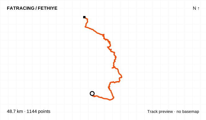
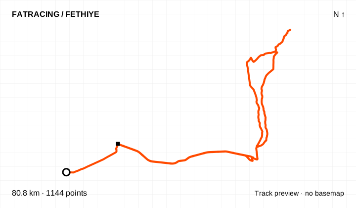
A branch of the official Antik Pedal network. The distance covers the displayed segment, not a return ride from central Fethiye.
Linear segment · 1,144 points. The source has no reliable elevations; no profile or climbing figure is shown.
The map background could not load; the track diagram is shown. Select the preview to open the full map.
Source: Antik Pedal · Fethiye Belediyesi · data: 2023-06. Distance is calculated from the geometry; source announcements may round it differently. The OpenStreetMap background loads when you expand a route; if unavailable, the track diagram remains visible.
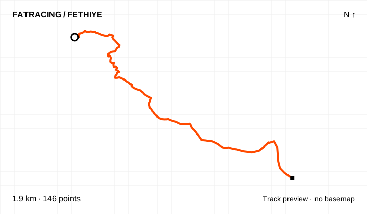
The additional Ar22a line in the official KMZ. Its purpose and surface are not described separately: use it for preliminary map planning.
Linear segment · 146 points. The source has no reliable elevations; no profile or climbing figure is shown.
The map background could not load; the track diagram is shown. Select the preview to open the full map.
Source: Antik Pedal · Fethiye Belediyesi · data: 2023-06. Distance is calculated from the geometry; source announcements may round it differently. The OpenStreetMap background loads when you expand a route; if unavailable, the track diagram remains visible.
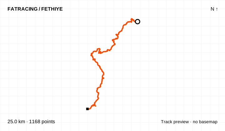
A branch of the official Antik Pedal network. The distance covers the displayed segment, not a return ride from central Fethiye.
Linear segment · 1,168 points. The source has no reliable elevations; no profile or climbing figure is shown.
The map background could not load; the track diagram is shown. Select the preview to open the full map.
Source: Antik Pedal · Fethiye Belediyesi · data: 2023-06. Distance is calculated from the geometry; source announcements may round it differently. The OpenStreetMap background loads when you expand a route; if unavailable, the track diagram remains visible.
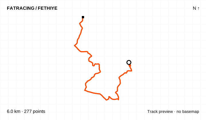
A branch of the official Antik Pedal network. The distance covers the displayed segment, not a return ride from central Fethiye.
Linear segment · 277 points. The source has no reliable elevations; no profile or climbing figure is shown.
The map background could not load; the track diagram is shown. Select the preview to open the full map.
Source: Antik Pedal · Fethiye Belediyesi · data: 2023-06. Distance is calculated from the geometry; source announcements may round it differently. The OpenStreetMap background loads when you expand a route; if unavailable, the track diagram remains visible.
A branch of the official Antik Pedal network. The distance covers the displayed segment, not a return ride from central Fethiye.
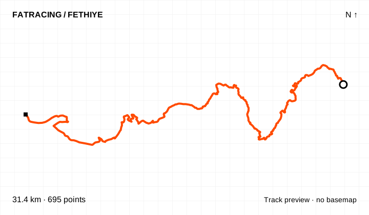
Linear segment · 695 points. The source has no reliable elevations; no profile or climbing figure is shown.
The map background could not load; the track diagram is shown. Select the preview to open the full map.
Source: Antik Pedal · Fethiye Belediyesi · data: 2023-06. Distance is calculated from the geometry; source announcements may round it differently. The OpenStreetMap background loads when you expand a route; if unavailable, the track diagram remains visible.
A branch of the official Antik Pedal network. The distance covers the displayed segment, not a return ride from central Fethiye.
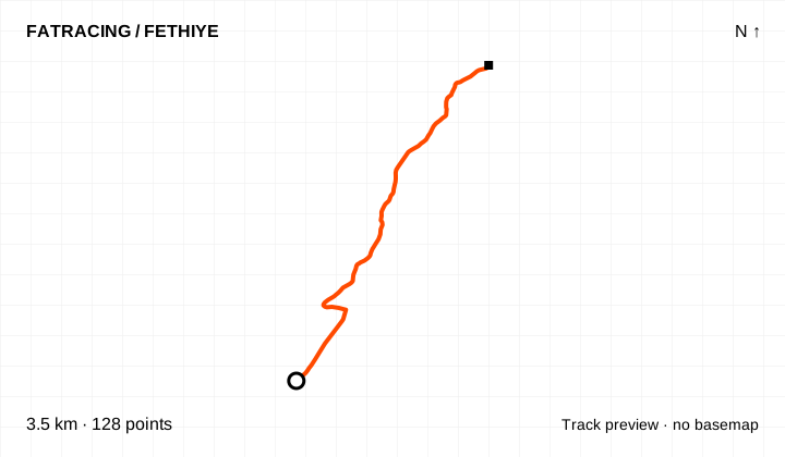
Linear segment · 128 points. The source has no reliable elevations; no profile or climbing figure is shown.
The map background could not load; the track diagram is shown. Select the preview to open the full map.
Source: Antik Pedal · Fethiye Belediyesi · data: 2023-06. Distance is calculated from the geometry; source announcements may round it differently. The OpenStreetMap background loads when you expand a route; if unavailable, the track diagram remains visible.
A branch of the official Antik Pedal network. The distance covers the displayed segment, not a return ride from central Fethiye.
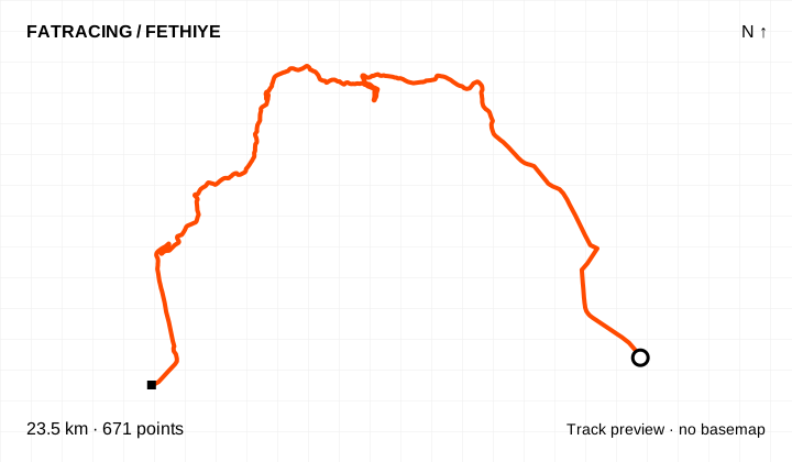
Linear segment · 671 points. The source has no reliable elevations; no profile or climbing figure is shown.
The map background could not load; the track diagram is shown. Select the preview to open the full map.
Source: Antik Pedal · Fethiye Belediyesi · data: 2023-06. Distance is calculated from the geometry; source announcements may round it differently. The OpenStreetMap background loads when you expand a route; if unavailable, the track diagram remains visible.
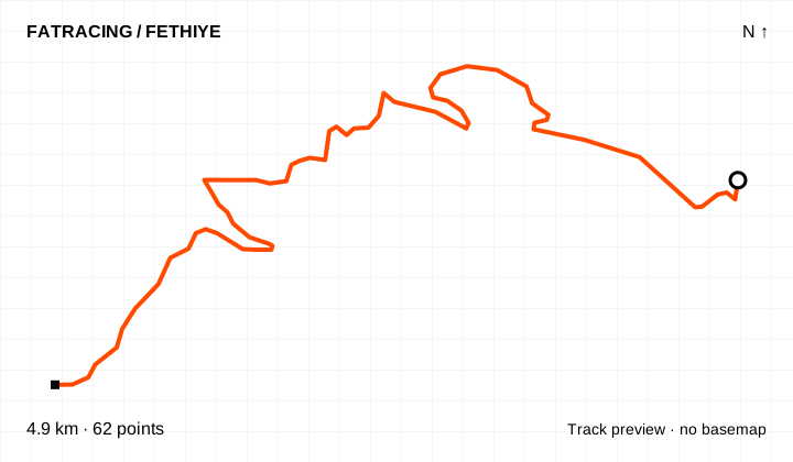
A segment towards Kadyanda. The source page states 11.7 km, while the KMZ line is named 4.95 km. This download contains the KMZ geometry only, with no invented continuation.
Linear segment · 62 points. The source has no reliable elevations; no profile or climbing figure is shown.
The map background could not load; the track diagram is shown. Select the preview to open the full map.
Source: Antik Pedal · Fethiye Belediyesi · data: 2023-06. Distance is calculated from the geometry; source announcements may round it differently. The OpenStreetMap background loads when you expand a route; if unavailable, the track diagram remains visible.
A branch of the official Antik Pedal network. The distance covers the displayed segment, not a return ride from central Fethiye.
Linear segment · 456 points. The source has no reliable elevations; no profile or climbing figure is shown.
The map background could not load; the track diagram is shown. Select the preview to open the full map.
Source: Antik Pedal · Fethiye Belediyesi · data: 2023-06. Distance is calculated from the geometry; source announcements may round it differently. The OpenStreetMap background loads when you expand a route; if unavailable, the track diagram remains visible.
A branch of the official Antik Pedal network. The distance covers the displayed segment, not a return ride from central Fethiye.
Linear segment · 276 points. The source has no reliable elevations; no profile or climbing figure is shown.
The map background could not load; the track diagram is shown. Select the preview to open the full map.
Source: Antik Pedal · Fethiye Belediyesi · data: 2023-06. Distance is calculated from the geometry; source announcements may round it differently. The OpenStreetMap background loads when you expand a route; if unavailable, the track diagram remains visible.
A branch of the official Antik Pedal network. The distance covers the displayed segment, not a return ride from central Fethiye.
Linear segment · 401 points. The source has no reliable elevations; no profile or climbing figure is shown.
The map background could not load; the track diagram is shown. Select the preview to open the full map.
Source: Antik Pedal · Fethiye Belediyesi · data: 2023-06. Distance is calculated from the geometry; source announcements may round it differently. The OpenStreetMap background loads when you expand a route; if unavailable, the track diagram remains visible.
The main network links the coast and inland areas. We provide the eleven original lines separately and a combined file. It is a touring-planning resource, not a suggestion to ride the whole loop in one day. Original segment boundaries are preserved; missing connections have not been drawn in.
A section of the main network. This is a linear segment: plan your return or connection to the next section separately.
Linear segment · 791 points. The source has no reliable elevations; no profile or climbing figure is shown.
The map background could not load; the track diagram is shown. Select the preview to open the full map.
Source: Antik Pedal · Fethiye Belediyesi · data: 2023-06. Distance is calculated from the geometry; source announcements may round it differently. The OpenStreetMap background loads when you expand a route; if unavailable, the track diagram remains visible.
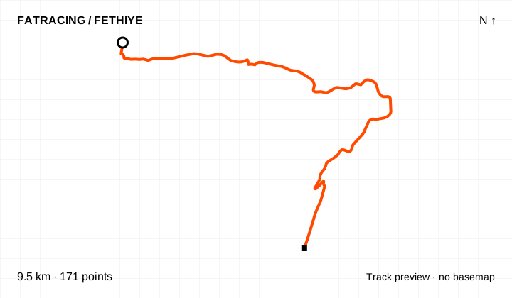
A section of the main network. This is a linear segment: plan your return or connection to the next section separately.
Linear segment · 171 points. The source has no reliable elevations; no profile or climbing figure is shown.
The map background could not load; the track diagram is shown. Select the preview to open the full map.
Source: Antik Pedal · Fethiye Belediyesi · data: 2023-06. Distance is calculated from the geometry; source announcements may round it differently. The OpenStreetMap background loads when you expand a route; if unavailable, the track diagram remains visible.
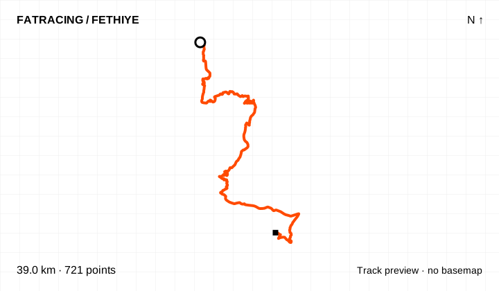
A section of the main network. This is a linear segment: plan your return or connection to the next section separately.
Linear segment · 721 points. The source has no reliable elevations; no profile or climbing figure is shown.
The map background could not load; the track diagram is shown. Select the preview to open the full map.
Source: Antik Pedal · Fethiye Belediyesi · data: 2023-06. Distance is calculated from the geometry; source announcements may round it differently. The OpenStreetMap background loads when you expand a route; if unavailable, the track diagram remains visible.
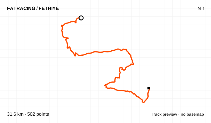
A section of the main network. This is a linear segment: plan your return or connection to the next section separately.
Linear segment · 502 points. The source has no reliable elevations; no profile or climbing figure is shown.
The map background could not load; the track diagram is shown. Select the preview to open the full map.
Source: Antik Pedal · Fethiye Belediyesi · data: 2023-06. Distance is calculated from the geometry; source announcements may round it differently. The OpenStreetMap background loads when you expand a route; if unavailable, the track diagram remains visible.
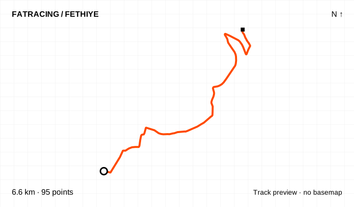
A section of the main network. This is a linear segment: plan your return or connection to the next section separately.
Linear segment · 95 points. The source has no reliable elevations; no profile or climbing figure is shown.
The map background could not load; the track diagram is shown. Select the preview to open the full map.
Source: Antik Pedal · Fethiye Belediyesi · data: 2023-06. Distance is calculated from the geometry; source announcements may round it differently. The OpenStreetMap background loads when you expand a route; if unavailable, the track diagram remains visible.
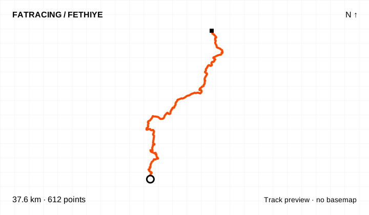
A section of the main network. This is a linear segment: plan your return or connection to the next section separately.
Linear segment · 612 points. The source has no reliable elevations; no profile or climbing figure is shown.
The map background could not load; the track diagram is shown. Select the preview to open the full map.
Source: Antik Pedal · Fethiye Belediyesi · data: 2023-06. Distance is calculated from the geometry; source announcements may round it differently. The OpenStreetMap background loads when you expand a route; if unavailable, the track diagram remains visible.
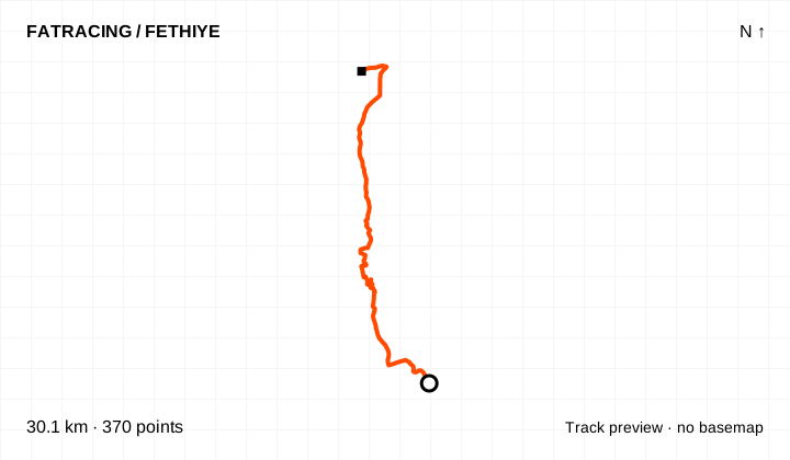
A section of the main network. This is a linear segment: plan your return or connection to the next section separately.
Linear segment · 370 points. The source has no reliable elevations; no profile or climbing figure is shown.
The map background could not load; the track diagram is shown. Select the preview to open the full map.
Source: Antik Pedal · Fethiye Belediyesi · data: 2023-06. Distance is calculated from the geometry; source announcements may round it differently. The OpenStreetMap background loads when you expand a route; if unavailable, the track diagram remains visible.
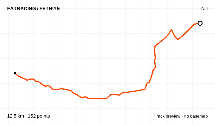
A section of the main network. This is a linear segment: plan your return or connection to the next section separately.
Linear segment · 152 points. The source has no reliable elevations; no profile or climbing figure is shown.
The map background could not load; the track diagram is shown. Select the preview to open the full map.
Source: Antik Pedal · Fethiye Belediyesi · data: 2023-06. Distance is calculated from the geometry; source announcements may round it differently. The OpenStreetMap background loads when you expand a route; if unavailable, the track diagram remains visible.
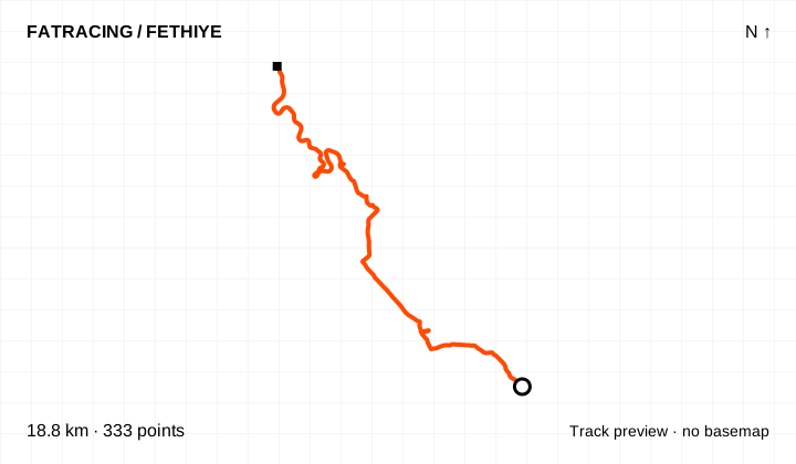
A section of the main network. This is a linear segment: plan your return or connection to the next section separately.
Linear segment · 333 points. The source has no reliable elevations; no profile or climbing figure is shown.
The map background could not load; the track diagram is shown. Select the preview to open the full map.
Source: Antik Pedal · Fethiye Belediyesi · data: 2023-06. Distance is calculated from the geometry; source announcements may round it differently. The OpenStreetMap background loads when you expand a route; if unavailable, the track diagram remains visible.
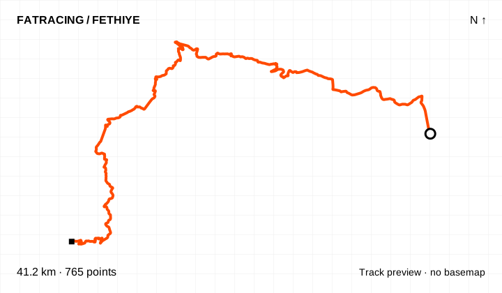
A section of the main network. This is a linear segment: plan your return or connection to the next section separately.
Linear segment · 765 points. The source has no reliable elevations; no profile or climbing figure is shown.
The map background could not load; the track diagram is shown. Select the preview to open the full map.
Source: Antik Pedal · Fethiye Belediyesi · data: 2023-06. Distance is calculated from the geometry; source announcements may round it differently. The OpenStreetMap background loads when you expand a route; if unavailable, the track diagram remains visible.
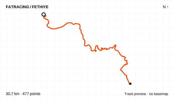
A section of the main network. This is a linear segment: plan your return or connection to the next section separately.
Linear segment · 477 points. The source has no reliable elevations; no profile or climbing figure is shown.
The map background could not load; the track diagram is shown. Select the preview to open the full map.
Source: Antik Pedal · Fethiye Belediyesi · data: 2023-06. Distance is calculated from the geometry; source announcements may round it differently. The OpenStreetMap background loads when you expand a route; if unavailable, the track diagram remains visible.
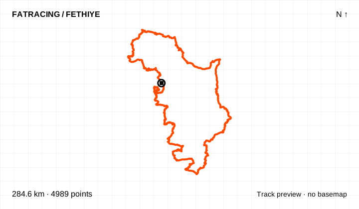
The main loop, assembled from the eleven consecutive AN1–AN11 lines. Original segment boundaries are preserved and no connecting roads have been invented. Plan it as a multi-day journey.
Loop / out and back · 4,989 points. The source has no reliable elevations; no profile or climbing figure is shown.
The map background could not load; the track diagram is shown. Select the preview to open the full map.
Source: Antik Pedal · Fethiye Belediyesi · data: 2023-06. Distance is calculated from the geometry; source announcements may round it differently. The OpenStreetMap background loads when you expand a route; if unavailable, the track diagram remains visible.
The archive contained 50 distinct Komoot links. We could open 48 pages: 47 cycling routes and one walk. Seven cycling tracks already appear among the original GPX files above; another 40 variations are listed here. Coordinates came from the accessible route pages, not by tracing a map image. Distances were recalculated from the points and compared with the source figures.
Options include the Nif loop via Kırkpınar Restaurant, NIF ADVANCED, Tlos, Xanthos–Letoon, Ölüdeniz–Kirme–Kabak, Sarıgerme, Saklıkent, Gelemiş / Patara and a long loop around the lake. Similar names are kept separately because start points, detours and lengths may differ. A “road cycling” label in Komoot does not establish that the whole route is paved.
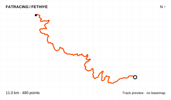
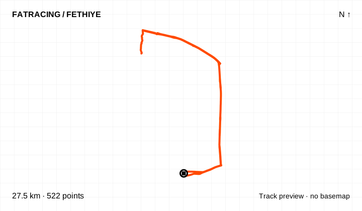
A variation linked in the NOT IN PARIS archive. The GPX uses coordinates available on the Komoot route page; personal details and activity times are excluded. The bike type selected in the service does not verify the surface of every section.
Climbing reported by Komoot: about 212 m.
Different start and finish points · 480 points. File elevations: 163–199 m above sea level. This is the altitude range, not total climbing.
The map background could not load; the track diagram is shown. Select the preview to open the full map.
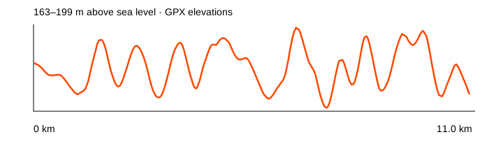
Source: Komoot · linked from NOT IN PARIS · data: checked 2026-10-20. Distance is calculated from the geometry; source announcements may round it differently. The OpenStreetMap background loads when you expand a route; if unavailable, the track diagram remains visible.
A variation linked in the NOT IN PARIS archive. The GPX uses coordinates available on the Komoot route page; personal details and activity times are excluded. The bike type selected in the service does not verify the surface of every section.
Climbing reported by Komoot: about 168 m.
Loop / out and back · 522 points. File elevations: 2–47 m above sea level. This is the altitude range, not total climbing.
The map background could not load; the track diagram is shown. Select the preview to open the full map.
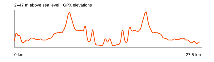
Source: Komoot · linked from NOT IN PARIS · data: checked 2026-10-20. Distance is calculated from the geometry; source announcements may round it differently. The OpenStreetMap background loads when you expand a route; if unavailable, the track diagram remains visible.
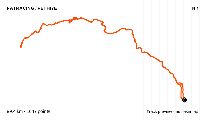
A variation linked in the NOT IN PARIS archive. The GPX uses coordinates available on the Komoot route page; personal details and activity times are excluded. The bike type selected in the service does not verify the surface of every section.
Climbing reported by Komoot: about 1,591 m.
Loop / out and back · 1,647 points. File elevations: -1–356 m above sea level. This is the altitude range, not total climbing.
The map background could not load; the track diagram is shown. Select the preview to open the full map.
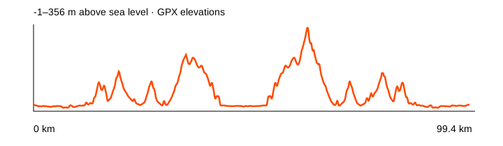
Source: Komoot · linked from NOT IN PARIS · data: checked 2026-10-20. Distance is calculated from the geometry; source announcements may round it differently. The OpenStreetMap background loads when you expand a route; if unavailable, the track diagram remains visible.
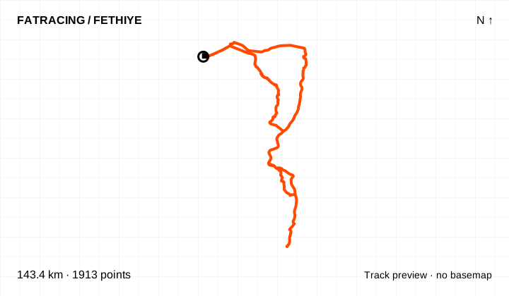
A variation linked in the NOT IN PARIS archive. The GPX uses coordinates available on the Komoot route page; personal details and activity times are excluded. The bike type selected in the service does not verify the surface of every section.
Climbing reported by Komoot: about 1,504 m.
Different start and finish points · 1,913 points. File elevations: 1–437 m above sea level. This is the altitude range, not total climbing.
The map background could not load; the track diagram is shown. Select the preview to open the full map.
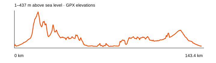
Source: Komoot · linked from NOT IN PARIS · data: checked 2026-10-20. Distance is calculated from the geometry; source announcements may round it differently. The OpenStreetMap background loads when you expand a route; if unavailable, the track diagram remains visible.
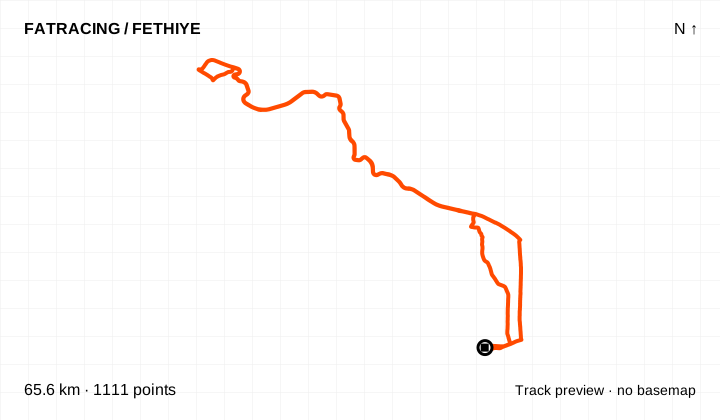
A variation linked in the NOT IN PARIS archive. The GPX uses coordinates available on the Komoot route page; personal details and activity times are excluded. The bike type selected in the service does not verify the surface of every section.
Climbing reported by Komoot: about 939 m.
Loop / out and back · 1,111 points. File elevations: 2–161 m above sea level. This is the altitude range, not total climbing.
The map background could not load; the track diagram is shown. Select the preview to open the full map.
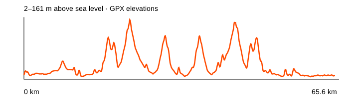
Source: Komoot · linked from NOT IN PARIS · data: checked 2026-10-20. Distance is calculated from the geometry; source announcements may round it differently. The OpenStreetMap background loads when you expand a route; if unavailable, the track diagram remains visible.
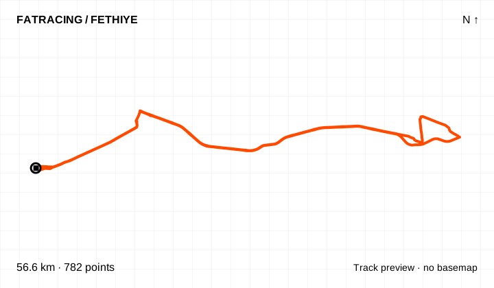
A variation linked in the NOT IN PARIS archive. The GPX uses coordinates available on the Komoot route page; personal details and activity times are excluded. The bike type selected in the service does not verify the surface of every section.
Climbing reported by Komoot: about 369 m.
Loop / out and back · 782 points. File elevations: 5–207 m above sea level. This is the altitude range, not total climbing.
The map background could not load; the track diagram is shown. Select the preview to open the full map.
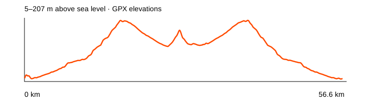
Source: Komoot · linked from NOT IN PARIS · data: checked 2026-10-20. Distance is calculated from the geometry; source announcements may round it differently. The OpenStreetMap background loads when you expand a route; if unavailable, the track diagram remains visible.
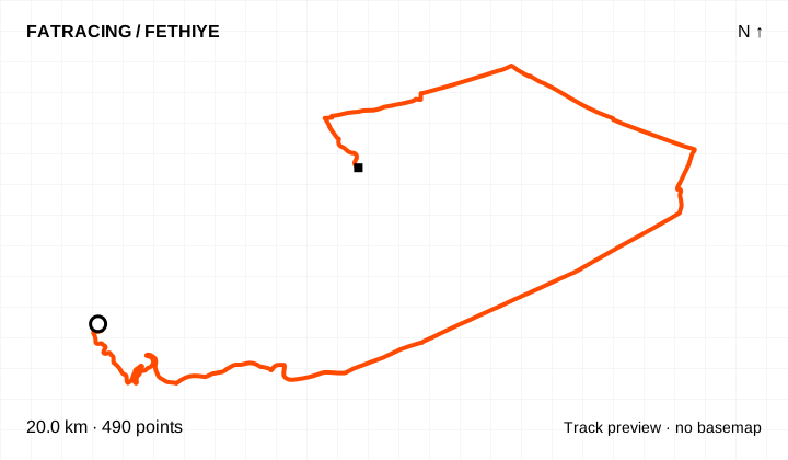
A variation linked in the NOT IN PARIS archive. The GPX uses coordinates available on the Komoot route page; personal details and activity times are excluded. The bike type selected in the service does not verify the surface of every section.
Climbing reported by Komoot: about 161 m.
Different start and finish points · 490 points. File elevations: 2–78 m above sea level. This is the altitude range, not total climbing.
The map background could not load; the track diagram is shown. Select the preview to open the full map.
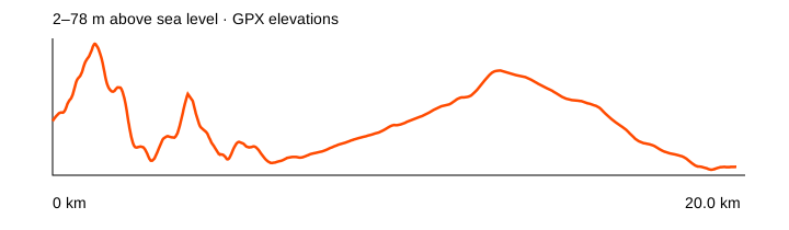
Source: Komoot · linked from NOT IN PARIS · data: checked 2026-10-20. Distance is calculated from the geometry; source announcements may round it differently. The OpenStreetMap background loads when you expand a route; if unavailable, the track diagram remains visible.
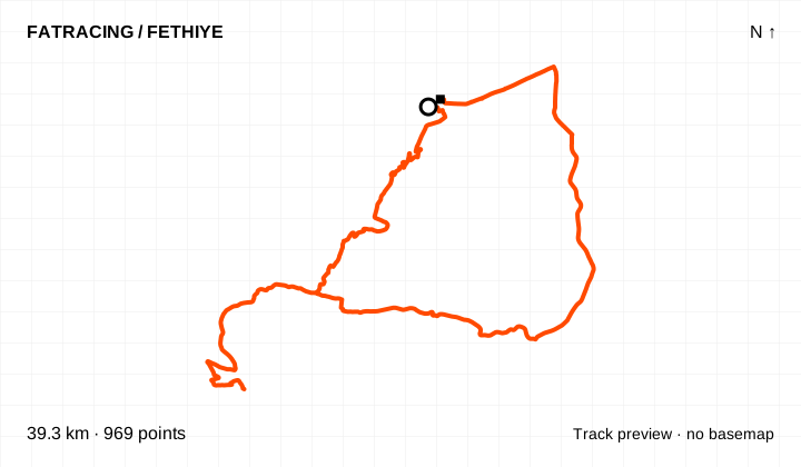
A variation linked in the NOT IN PARIS archive. The GPX uses coordinates available on the Komoot route page; personal details and activity times are excluded. The bike type selected in the service does not verify the surface of every section.
Climbing reported by Komoot: about 875 m.
Different start and finish points · 969 points. File elevations: 5–380 m above sea level. This is the altitude range, not total climbing.
The map background could not load; the track diagram is shown. Select the preview to open the full map.
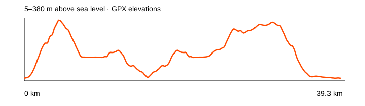
Source: Komoot · linked from NOT IN PARIS · data: checked 2026-10-20. Distance is calculated from the geometry; source announcements may round it differently. The OpenStreetMap background loads when you expand a route; if unavailable, the track diagram remains visible.
A variation linked in the NOT IN PARIS archive. The GPX uses coordinates available on the Komoot route page; personal details and activity times are excluded. The bike type selected in the service does not verify the surface of every section.
Climbing reported by Komoot: about 1,646 m.
Loop / out and back · 1,579 points. File elevations: -1–529 m above sea level. This is the altitude range, not total climbing.
The map background could not load; the track diagram is shown. Select the preview to open the full map.
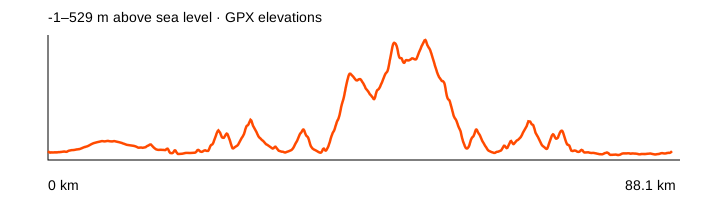
Source: Komoot · linked from NOT IN PARIS · data: checked 2026-10-20. Distance is calculated from the geometry; source announcements may round it differently. The OpenStreetMap background loads when you expand a route; if unavailable, the track diagram remains visible.
A variation linked in the NOT IN PARIS archive. The GPX uses coordinates available on the Komoot route page; personal details and activity times are excluded. The bike type selected in the service does not verify the surface of every section.
Climbing reported by Komoot: about 440 m.
Loop / out and back · 770 points. File elevations: 3–112 m above sea level. This is the altitude range, not total climbing.
The map background could not load; the track diagram is shown. Select the preview to open the full map.
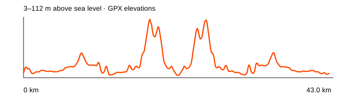
Source: Komoot · linked from NOT IN PARIS · data: checked 2026-10-20. Distance is calculated from the geometry; source announcements may round it differently. The OpenStreetMap background loads when you expand a route; if unavailable, the track diagram remains visible.
A variation linked in the NOT IN PARIS archive. The GPX uses coordinates available on the Komoot route page; personal details and activity times are excluded. The bike type selected in the service does not verify the surface of every section.
Climbing reported by Komoot: about 1,969 m.
Loop / out and back · 1,734 points. File elevations: 6–1156 m above sea level. This is the altitude range, not total climbing.
The map background could not load; the track diagram is shown. Select the preview to open the full map.
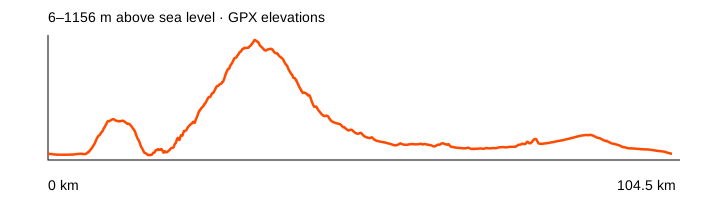
Source: Komoot · linked from NOT IN PARIS · data: checked 2026-10-20. Distance is calculated from the geometry; source announcements may round it differently. The OpenStreetMap background loads when you expand a route; if unavailable, the track diagram remains visible.
A variation linked in the NOT IN PARIS archive. The GPX uses coordinates available on the Komoot route page; personal details and activity times are excluded. The bike type selected in the service does not verify the surface of every section.
Climbing reported by Komoot: about 725 m.
Different start and finish points · 910 points. File elevations: 3–161 m above sea level. This is the altitude range, not total climbing.
The map background could not load; the track diagram is shown. Select the preview to open the full map.
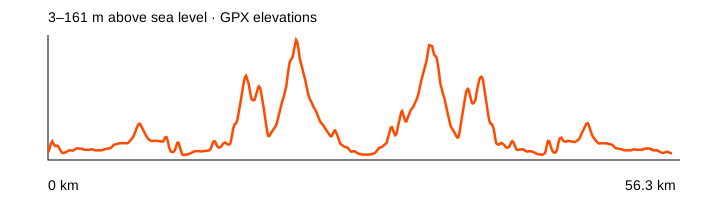
Source: Komoot · linked from NOT IN PARIS · data: checked 2026-10-20. Distance is calculated from the geometry; source announcements may round it differently. The OpenStreetMap background loads when you expand a route; if unavailable, the track diagram remains visible.
A variation linked in the NOT IN PARIS archive. The GPX uses coordinates available on the Komoot route page; personal details and activity times are excluded. The bike type selected in the service does not verify the surface of every section.
Climbing reported by Komoot: about 2,171 m.
Loop / out and back · 1,695 points. File elevations: 12–400 m above sea level. This is the altitude range, not total climbing.
The map background could not load; the track diagram is shown. Select the preview to open the full map.
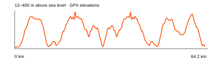
Source: Komoot · linked from NOT IN PARIS · data: checked 2026-10-20. Distance is calculated from the geometry; source announcements may round it differently. The OpenStreetMap background loads when you expand a route; if unavailable, the track diagram remains visible.
A variation linked in the NOT IN PARIS archive. The GPX uses coordinates available on the Komoot route page; personal details and activity times are excluded. The bike type selected in the service does not verify the surface of every section.
Climbing reported by Komoot: about 217 m.
Loop / out and back · 516 points. File elevations: 5–207 m above sea level. This is the altitude range, not total climbing.
The map background could not load; the track diagram is shown. Select the preview to open the full map.
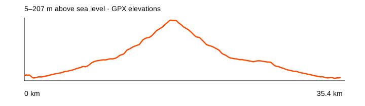
Source: Komoot · linked from NOT IN PARIS · data: checked 2026-10-20. Distance is calculated from the geometry; source announcements may round it differently. The OpenStreetMap background loads when you expand a route; if unavailable, the track diagram remains visible.
A variation linked in the NOT IN PARIS archive. The GPX uses coordinates available on the Komoot route page; personal details and activity times are excluded. The bike type selected in the service does not verify the surface of every section.
Climbing reported by Komoot: about 2,710 m.
Loop / out and back · 2,974 points. File elevations: -1–356 m above sea level. This is the altitude range, not total climbing.
The map background could not load; the track diagram is shown. Select the preview to open the full map.
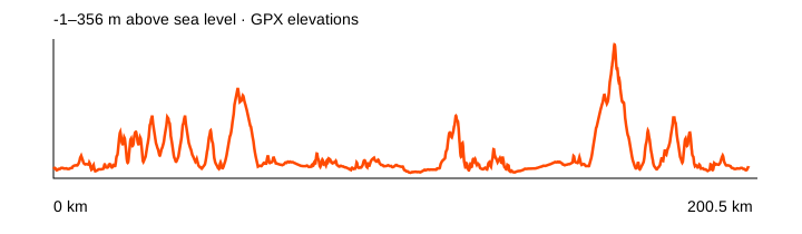
Source: Komoot · linked from NOT IN PARIS · data: checked 2026-10-20. Distance is calculated from the geometry; source announcements may round it differently. The OpenStreetMap background loads when you expand a route; if unavailable, the track diagram remains visible.
A variation linked in the NOT IN PARIS archive. The GPX uses coordinates available on the Komoot route page; personal details and activity times are excluded. The bike type selected in the service does not verify the surface of every section.
Climbing reported by Komoot: about 1,870 m.
Loop / out and back · 1,346 points. File elevations: 16–1441 m above sea level. This is the altitude range, not total climbing.
The map background could not load; the track diagram is shown. Select the preview to open the full map.
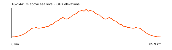
Source: Komoot · linked from NOT IN PARIS · data: checked 2026-10-20. Distance is calculated from the geometry; source announcements may round it differently. The OpenStreetMap background loads when you expand a route; if unavailable, the track diagram remains visible.
A variation linked in the NOT IN PARIS archive. The GPX uses coordinates available on the Komoot route page; personal details and activity times are excluded. The bike type selected in the service does not verify the surface of every section.
Climbing reported by Komoot: about 1,784 m.
Loop / out and back · 1,403 points. File elevations: 1–1409 m above sea level. This is the altitude range, not total climbing.
The map background could not load; the track diagram is shown. Select the preview to open the full map.
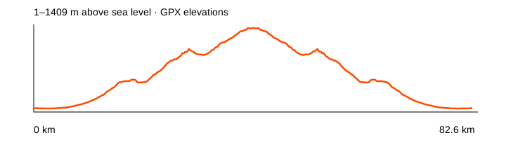
Source: Komoot · linked from NOT IN PARIS · data: checked 2026-10-20. Distance is calculated from the geometry; source announcements may round it differently. The OpenStreetMap background loads when you expand a route; if unavailable, the track diagram remains visible.
A variation linked in the NOT IN PARIS archive. The GPX uses coordinates available on the Komoot route page; personal details and activity times are excluded. The bike type selected in the service does not verify the surface of every section.
Climbing reported by Komoot: about 2,038 m.
Loop / out and back · 2,050 points. File elevations: 0–345 m above sea level. This is the altitude range, not total climbing.
The map background could not load; the track diagram is shown. Select the preview to open the full map.
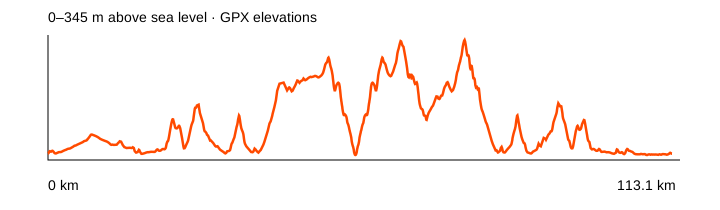
Source: Komoot · linked from NOT IN PARIS · data: checked 2026-10-20. Distance is calculated from the geometry; source announcements may round it differently. The OpenStreetMap background loads when you expand a route; if unavailable, the track diagram remains visible.
A variation linked in the NOT IN PARIS archive. The GPX uses coordinates available on the Komoot route page; personal details and activity times are excluded. The bike type selected in the service does not verify the surface of every section.
Climbing reported by Komoot: about 637 m.
Loop / out and back · 538 points. File elevations: 6–380 m above sea level. This is the altitude range, not total climbing.
The map background could not load; the track diagram is shown. Select the preview to open the full map.
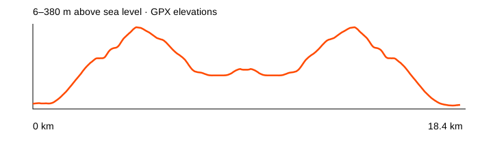
Source: Komoot · linked from NOT IN PARIS · data: checked 2026-10-20. Distance is calculated from the geometry; source announcements may round it differently. The OpenStreetMap background loads when you expand a route; if unavailable, the track diagram remains visible.
A variation linked in the NOT IN PARIS archive. The GPX uses coordinates available on the Komoot route page; personal details and activity times are excluded. The bike type selected in the service does not verify the surface of every section.
Climbing reported by Komoot: about 1,307 m.
Different start and finish points · 1,453 points. File elevations: 11–788 m above sea level. This is the altitude range, not total climbing.
The map background could not load; the track diagram is shown. Select the preview to open the full map.
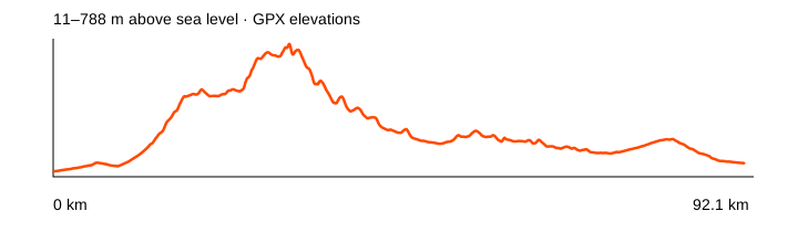
Source: Komoot · linked from NOT IN PARIS · data: checked 2026-10-20. Distance is calculated from the geometry; source announcements may round it differently. The OpenStreetMap background loads when you expand a route; if unavailable, the track diagram remains visible.
A variation linked in the NOT IN PARIS archive. The GPX uses coordinates available on the Komoot route page; personal details and activity times are excluded. The bike type selected in the service does not verify the surface of every section.
Climbing reported by Komoot: about 312 m.
Loop / out and back · 674 points. File elevations: 5–207 m above sea level. This is the altitude range, not total climbing.
The map background could not load; the track diagram is shown. Select the preview to open the full map.
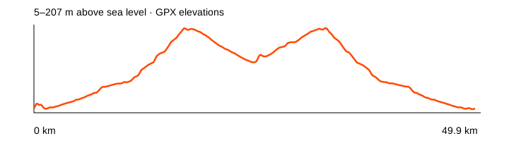
Source: Komoot · linked from NOT IN PARIS · data: checked 2026-10-20. Distance is calculated from the geometry; source announcements may round it differently. The OpenStreetMap background loads when you expand a route; if unavailable, the track diagram remains visible.
A variation linked in the NOT IN PARIS archive. The GPX uses coordinates available on the Komoot route page; personal details and activity times are excluded. The bike type selected in the service does not verify the surface of every section.
Climbing reported by Komoot: about 1,643 m.
Loop / out and back · 1,307 points. File elevations: 6–698 m above sea level. This is the altitude range, not total climbing.
The map background could not load; the track diagram is shown. Select the preview to open the full map.
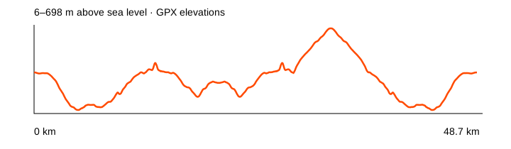
Source: Komoot · linked from NOT IN PARIS · data: checked 2026-10-20. Distance is calculated from the geometry; source announcements may round it differently. The OpenStreetMap background loads when you expand a route; if unavailable, the track diagram remains visible.
A variation linked in the NOT IN PARIS archive. The GPX uses coordinates available on the Komoot route page; personal details and activity times are excluded. The bike type selected in the service does not verify the surface of every section.
Climbing reported by Komoot: about 1,846 m.
Different start and finish points · 479 points. File elevations: 23–1840 m above sea level. This is the altitude range, not total climbing.
The map background could not load; the track diagram is shown. Select the preview to open the full map.
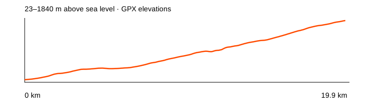
Source: Komoot · linked from NOT IN PARIS · data: checked 2026-10-20. Distance is calculated from the geometry; source announcements may round it differently. The OpenStreetMap background loads when you expand a route; if unavailable, the track diagram remains visible.
A variation linked in the NOT IN PARIS archive. The GPX uses coordinates available on the Komoot route page; personal details and activity times are excluded. The bike type selected in the service does not verify the surface of every section.
Climbing reported by Komoot: about 560 m.
Different start and finish points · 562 points. File elevations: 6–477 m above sea level. This is the altitude range, not total climbing.
The map background could not load; the track diagram is shown. Select the preview to open the full map.
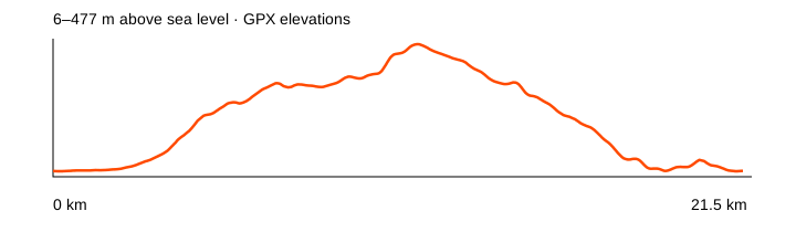
Source: Komoot · linked from NOT IN PARIS · data: checked 2026-10-20. Distance is calculated from the geometry; source announcements may round it differently. The OpenStreetMap background loads when you expand a route; if unavailable, the track diagram remains visible.
A variation linked in the NOT IN PARIS archive. The GPX uses coordinates available on the Komoot route page; personal details and activity times are excluded. The bike type selected in the service does not verify the surface of every section.
Climbing reported by Komoot: about 602 m.
Different start and finish points · 1,144 points. File elevations: 6–258 m above sea level. This is the altitude range, not total climbing.
The map background could not load; the track diagram is shown. Select the preview to open the full map.
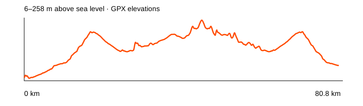
Source: Komoot · linked from NOT IN PARIS · data: checked 2026-10-20. Distance is calculated from the geometry; source announcements may round it differently. The OpenStreetMap background loads when you expand a route; if unavailable, the track diagram remains visible.
A variation linked in the NOT IN PARIS archive. The GPX uses coordinates available on the Komoot route page; personal details and activity times are excluded. The bike type selected in the service does not verify the surface of every section.
Climbing reported by Komoot: about 963 m.
Loop / out and back · 5,847 points. File elevations: 21–381 m above sea level. This is the altitude range, not total climbing.
The map background could not load; the track diagram is shown. Select the preview to open the full map.
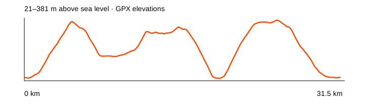
Source: Komoot · linked from NOT IN PARIS · data: checked 2026-10-20. Distance is calculated from the geometry; source announcements may round it differently. The OpenStreetMap background loads when you expand a route; if unavailable, the track diagram remains visible.
A variation linked in the NOT IN PARIS archive. The GPX uses coordinates available on the Komoot route page; personal details and activity times are excluded. The bike type selected in the service does not verify the surface of every section.
Climbing reported by Komoot: about 924 m.
Loop / out and back · 6,614 points. File elevations: 2–351 m above sea level. This is the altitude range, not total climbing.
The map background could not load; the track diagram is shown. Select the preview to open the full map.
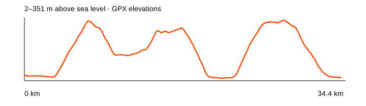
Source: Komoot · linked from NOT IN PARIS · data: checked 2026-10-20. Distance is calculated from the geometry; source announcements may round it differently. The OpenStreetMap background loads when you expand a route; if unavailable, the track diagram remains visible.
A variation linked in the NOT IN PARIS archive. The GPX uses coordinates available on the Komoot route page; personal details and activity times are excluded. The bike type selected in the service does not verify the surface of every section.
Climbing reported by Komoot: about 1,595 m.
Loop / out and back · 15,725 points. File elevations: 17–1185 m above sea level. This is the altitude range, not total climbing.
The map background could not load; the track diagram is shown. Select the preview to open the full map.
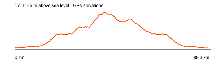
Source: Komoot · linked from NOT IN PARIS · data: checked 2026-10-20. Distance is calculated from the geometry; source announcements may round it differently. The OpenStreetMap background loads when you expand a route; if unavailable, the track diagram remains visible.
A variation linked in the NOT IN PARIS archive. The GPX uses coordinates available on the Komoot route page; personal details and activity times are excluded. The bike type selected in the service does not verify the surface of every section.
Climbing reported by Komoot: about 2,819 m.
Loop / out and back · 23,687 points. File elevations: 3–1161 m above sea level. This is the altitude range, not total climbing.
The map background could not load; the track diagram is shown. Select the preview to open the full map.
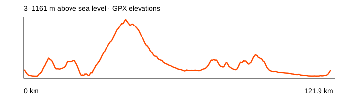
Source: Komoot · linked from NOT IN PARIS · data: checked 2026-10-20. Distance is calculated from the geometry; source announcements may round it differently. The OpenStreetMap background loads when you expand a route; if unavailable, the track diagram remains visible.
A variation linked in the NOT IN PARIS archive. The GPX uses coordinates available on the Komoot route page; personal details and activity times are excluded. The bike type selected in the service does not verify the surface of every section.
Climbing reported by Komoot: about 676 m.
Different start and finish points · 1,167 points. File elevations: 6–220 m above sea level. This is the altitude range, not total climbing.
The map background could not load; the track diagram is shown. Select the preview to open the full map.
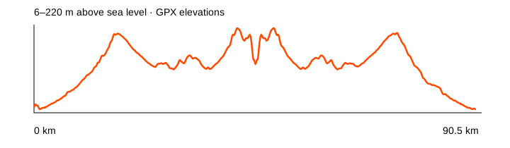
Source: Komoot · linked from NOT IN PARIS · data: checked 2026-10-20. Distance is calculated from the geometry; source announcements may round it differently. The OpenStreetMap background loads when you expand a route; if unavailable, the track diagram remains visible.
A variation linked in the NOT IN PARIS archive. The GPX uses coordinates available on the Komoot route page; personal details and activity times are excluded. The bike type selected in the service does not verify the surface of every section.
Climbing reported by Komoot: about 1,999 m.
Loop / out and back · 2,092 points. File elevations: 9–1077 m above sea level. This is the altitude range, not total climbing.
The map background could not load; the track diagram is shown. Select the preview to open the full map.
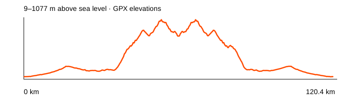
Source: Komoot · linked from NOT IN PARIS · data: checked 2026-10-20. Distance is calculated from the geometry; source announcements may round it differently. The OpenStreetMap background loads when you expand a route; if unavailable, the track diagram remains visible.
A variation linked in the NOT IN PARIS archive. The GPX uses coordinates available on the Komoot route page; personal details and activity times are excluded. The bike type selected in the service does not verify the surface of every section.
Climbing reported by Komoot: about 1,641 m.
Loop / out and back · 1,813 points. File elevations: -1–356 m above sea level. This is the altitude range, not total climbing.
The map background could not load; the track diagram is shown. Select the preview to open the full map.
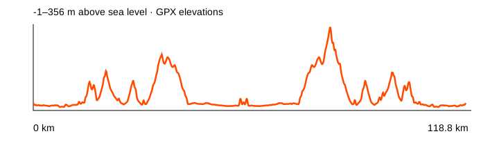
Source: Komoot · linked from NOT IN PARIS · data: checked 2026-10-20. Distance is calculated from the geometry; source announcements may round it differently. The OpenStreetMap background loads when you expand a route; if unavailable, the track diagram remains visible.
A variation linked in the NOT IN PARIS archive. The GPX uses coordinates available on the Komoot route page; personal details and activity times are excluded. The bike type selected in the service does not verify the surface of every section.
Climbing reported by Komoot: about 882 m.
Loop / out and back · 906 points. File elevations: 10–655 m above sea level. This is the altitude range, not total climbing.
The map background could not load; the track diagram is shown. Select the preview to open the full map.
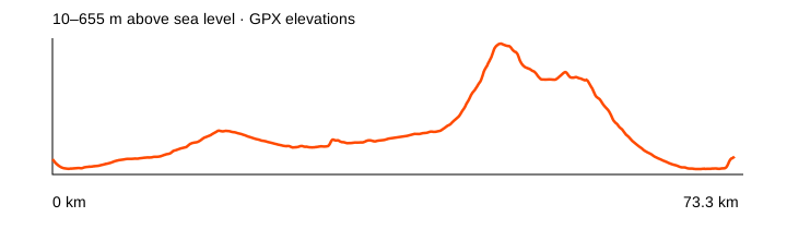
Source: Komoot · linked from NOT IN PARIS · data: checked 2026-10-20. Distance is calculated from the geometry; source announcements may round it differently. The OpenStreetMap background loads when you expand a route; if unavailable, the track diagram remains visible.
A variation linked in the NOT IN PARIS archive. The GPX uses coordinates available on the Komoot route page; personal details and activity times are excluded. The bike type selected in the service does not verify the surface of every section.
Climbing reported by Komoot: about 378 m.
Different start and finish points · 1,239 points. File elevations: 0–128 m above sea level. This is the altitude range, not total climbing.
The map background could not load; the track diagram is shown. Select the preview to open the full map.
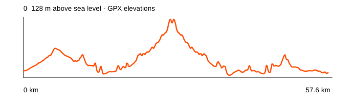
Source: Komoot · linked from NOT IN PARIS · data: checked 2026-10-20. Distance is calculated from the geometry; source announcements may round it differently. The OpenStreetMap background loads when you expand a route; if unavailable, the track diagram remains visible.
A variation linked in the NOT IN PARIS archive. The GPX uses coordinates available on the Komoot route page; personal details and activity times are excluded. The bike type selected in the service does not verify the surface of every section.
Climbing reported by Komoot: about 1,152 m.
Different start and finish points · 1,142 points. File elevations: 9–733 m above sea level. This is the altitude range, not total climbing.
The map background could not load; the track diagram is shown. Select the preview to open the full map.
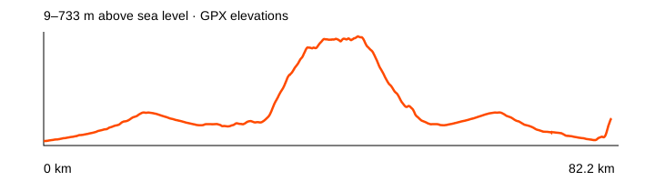
Source: Komoot · linked from NOT IN PARIS · data: checked 2026-10-20. Distance is calculated from the geometry; source announcements may round it differently. The OpenStreetMap background loads when you expand a route; if unavailable, the track diagram remains visible.
A variation linked in the NOT IN PARIS archive. The GPX uses coordinates available on the Komoot route page; personal details and activity times are excluded. The bike type selected in the service does not verify the surface of every section.
Climbing reported by Komoot: about 2,145 m.
Different start and finish points · 2,232 points. File elevations: -1–527 m above sea level. This is the altitude range, not total climbing.
The map background could not load; the track diagram is shown. Select the preview to open the full map.
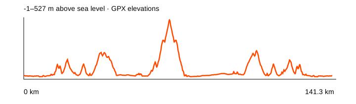
Source: Komoot · linked from NOT IN PARIS · data: checked 2026-10-20. Distance is calculated from the geometry; source announcements may round it differently. The OpenStreetMap background loads when you expand a route; if unavailable, the track diagram remains visible.
A variation linked in the NOT IN PARIS archive. The GPX uses coordinates available on the Komoot route page; personal details and activity times are excluded. The bike type selected in the service does not verify the surface of every section.
Climbing reported by Komoot: about 1,002 m.
Loop / out and back · 1,179 points. File elevations: 3–161 m above sea level. This is the altitude range, not total climbing.
The map background could not load; the track diagram is shown. Select the preview to open the full map.
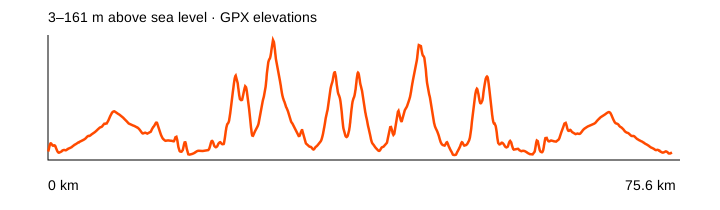
Source: Komoot · linked from NOT IN PARIS · data: checked 2026-10-20. Distance is calculated from the geometry; source announcements may round it differently. The OpenStreetMap background loads when you expand a route; if unavailable, the track diagram remains visible.
A variation linked in the NOT IN PARIS archive. The GPX uses coordinates available on the Komoot route page; personal details and activity times are excluded. The bike type selected in the service does not verify the surface of every section.
Climbing reported by Komoot: about 755 m.
Different start and finish points · 871 points. File elevations: 11–437 m above sea level. This is the altitude range, not total climbing.
The map background could not load; the track diagram is shown. Select the preview to open the full map.
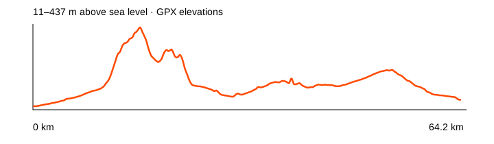
Source: Komoot · linked from NOT IN PARIS · data: checked 2026-10-20. Distance is calculated from the geometry; source announcements may round it differently. The OpenStreetMap background loads when you expand a route; if unavailable, the track diagram remains visible.
A variation linked in the NOT IN PARIS archive. The GPX uses coordinates available on the Komoot route page; personal details and activity times are excluded. The bike type selected in the service does not verify the surface of every section.
Climbing reported by Komoot: about 637 m.
Loop / out and back · 709 points. File elevations: 5–510 m above sea level. This is the altitude range, not total climbing.
The map background could not load; the track diagram is shown. Select the preview to open the full map.
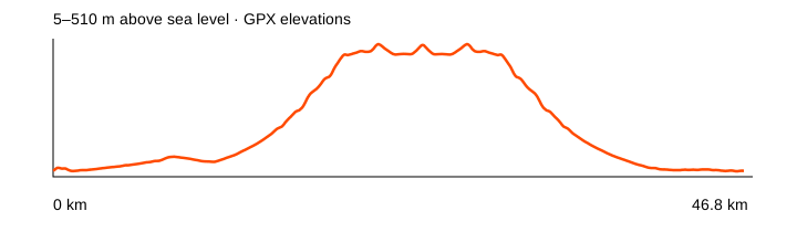
Source: Komoot · linked from NOT IN PARIS · data: checked 2026-10-20. Distance is calculated from the geometry; source announcements may round it differently. The OpenStreetMap background loads when you expand a route; if unavailable, the track diagram remains visible.
A variation linked in the NOT IN PARIS archive. The GPX uses coordinates available on the Komoot route page; personal details and activity times are excluded. The bike type selected in the service does not verify the surface of every section.
Climbing reported by Komoot: about 1,553 m.
Different start and finish points · 1,672 points. File elevations: 6–435 m above sea level. This is the altitude range, not total climbing.
The map background could not load; the track diagram is shown. Select the preview to open the full map.
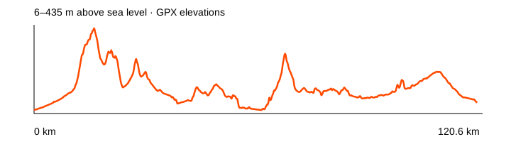
Source: Komoot · linked from NOT IN PARIS · data: checked 2026-10-20. Distance is calculated from the geometry; source announcements may round it differently. The OpenStreetMap background loads when you expand a route; if unavailable, the track diagram remains visible.
Two Komoot routes could not be added: one returned 404 and one timed out on two attempts. Hike to Paradise Beach is excluded from the cycling bundle. The chat also contains Strava and Garmin links, including Pınara → Babadağ 1900 and Ören Fish Farm. Where geometry requires a login or a link only points to an event, we have not invented a track; those records remain in the source register.
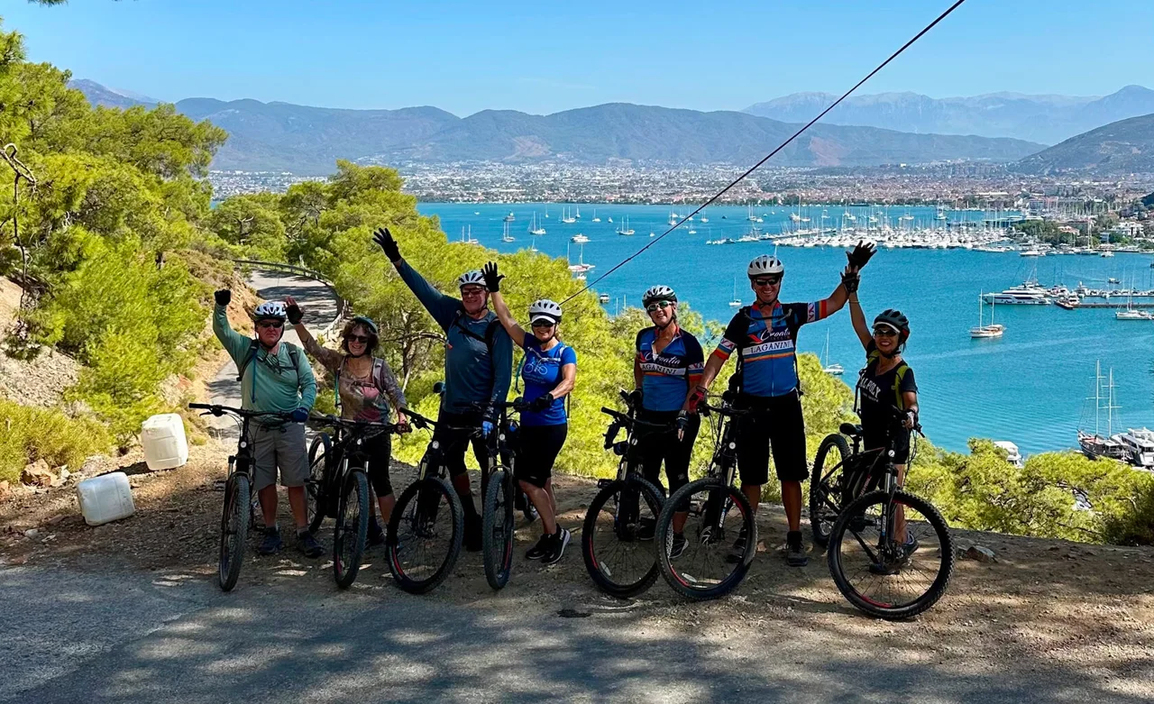
Atlas Pedal is a bike shop and workshop in Fethiye offering rentals and guided tours. A useful stop if you arrive without your own bike or need to prepare it for the local roads.
Bikes to rent: The rental catalogue lists the Ridley Kanzo Adventure gravel bike, Orbea Orca M30 road bike, Scott Scale 980 mountain bike, e-bikes and city bikes. Daily, weekly and monthly rentals are offered.
Local support: Repairs, servicing and bike selection. The website also lists technical support, transfers, roadside assistance and guided rides; agree on the services and price when booking.
Find the shop: Babataşı Mah., Cahit Gündüz Cad., No:62, Fethiye.
View bikes and rental terms · Instagram @atlas.pedal · Telegram @atlaspedal
Before booking, send your dates, height, preferred bike type and route. Confirm the frame size, climbing gears, pedals, helmet, deposit and roadside assistance terms. For gravel, discuss the surface: routes in this guide vary considerably in difficulty.
Checked against the official website on 31 October 2026. Confirm prices and availability directly.
NOT IN PARIS brings together a café, bar and shop selling its own clothing and cycling kit. Drop in after a ride and meet the community whose archive supplied some of the routes in this guide.
Find a group ride: The club runs group rides; check its website and Strava for current announcements. Confirm the meeting point, time, distance, surface and pace before joining. The club asks riders to wear a helmet and respect traffic rules and fellow cyclists.
Find the café: Central Fethiye, Cumhuriyet, 96. Sokak. Open the map on the café’s website before visiting; check current posts for opening hours and events.
Café on the map · Instagram @notinparis.me · Cycling club on Strava
Checked against the official website and Strava club on 2 November 2026. NOT IN PARIS Cycling Club.
Three places to eat in town, drawn from community recommendations and meet-ups rather than a restaurant ranking.
Fethiye
Ağa Döner was recommended in May 2025 in response to a question about food around 11 pm. A candidate for dinner after a late ride; check current opening hours directly.
Fethiye
Döner at the fish market, explicitly recommended near NIP in July 2023. Participants disagreed about whether it was open that evening, so the old discussion does not establish today’s hours.
Fethiye
The group met at Nomades for breakfast after runs and swims on several occasions. Borrow the idea for a morning without a long ride; confirm breakfast service times before visiting.
Compiled on 2 November 2026 from discussions dated 2022–2026. Confirm addresses, hours, prices and access before visiting; historical prices are omitted. Message links are available to members of the NOT IN PARIS chat.
Kebabs, home-style food, pastries, coffee and ice cream — recommendations from Irina @mio_bikelover.
Akarca, Yerguzlar Caddesi No:29/B, Fethiye
Gaziantep cuisine: kebabs, lahmacun, pide and beyran soup. On Yerguzlar Caddesi in Akarca, on the way to Çalış.
Akarca, Yerguzlar Caddesi No:26/B, Fethiye
Home-style Turkish dishes, soups and meze. The link points to the Çalış branch; the business has other locations in Fethiye too.
Babataşı, Adnan Menderes Bulvarı No:77, Fethiye
Simit, pastries and breakfast in Babataşı. This is the address from Irina’s recommendation, on Adnan Menderes Bulvarı.
Cumhuriyet, 38. Sokak No:4, Fethiye
A café and roastery in Paspatur, roasting its coffee in Fethiye. Matcha is also available — a coffee-stop option in the centre.
Cumhuriyet, Şemsiyeli Sokak No:4, Likya İş Merkezi, Fethiye
A patisserie serving gelato and desserts on the umbrella street, by Likya İş Merkezi in central Fethiye.
Choose a stop to match your direction. Dinner in Kayaköy, coffee in Göcek and a trip to Kaş need different plans.
Göcek
A recurring coffee stop in Göcek, with a 2023 club announcement and a 2025 meeting-point mention. A separate participant liked the coffee and dessert but did not enjoy the food.
Kayaköy
In April 2023 the club planned a ride to Kayaköy for a meat dinner at Cin Bal. The official website offers a cook-your-own barbecue option. The announcement records a plan, not proof that the visit took place.
Ören
A recurring club food destination: ride to the Ören canyon, eat fish and cool your feet in mountain water. On 2 November 2026, Tami reported in NIP that the restaurant had been closed during their Sunday visit; she suggested that seasonal hours might differ. Confirm that the restaurant is open before a Sunday ride.
NIP discussion · NIP discussion · NIP discussion · NIP discussion · Route and GPX
Yeşilüzümlü
The group visited the Yeşilüzümlü coffee roasters for coffee and croissants. The 2022 description mentions an old house, a garden with a mandarin tree and mountain views; another visit was announced in 2023. It was not a walk-in café then, so arrange access first.
Seydikemer
The group stopped at Süs Coffee on the Seydikemer square during an October 2024 ride. This establishes a pit stop, but the thread contains no separate assessment of the food.
Yanıklar
An evening ride towards Yanıklar for gözleme and figs was proposed in September 2023. A short food-ride idea; the announcement does not identify a venue or exact stop.
Kaş
For a separate trip to Kaş, Oburus Momus was recommended as a beautiful place with good food. It is in another town, not a stop on a short loop around Fethiye.
Club-life ideas for a day off the bike or an easy evening. Historical announcements describe a format, not a current timetable.
Kayaköy
Walk through the abandoned village to Cold Water Bay, with figs, prickly pears, bay views, the beach and sunset. A club plan describes 4.8 km with 220 m of climbing, meeting at Can Market & Gözleme. This is a hike: bring closed shoes and water, and check the trail before setting off.
Fethiye
Members repeatedly met for morning swims by Sea Me followed by breakfast. Borrow the format, but do not treat the 2023 timetable as current. Choose conditions and distance to suit your ability.
Fethiye
The chat mentions a friendly SUP station and sunset paddling. The map comes from a training announcement by the station; confirm the current operator, rentals and water conditions locally.
Fethiye
Looking for glowing plankton is a local story, not a guaranteed spectacle. Members reported seeing it in June 2023; another group visited Sea Me in October and found no glow.
Review the full track before starting. Check its start, finish, most remote section, total distance and shortcuts. “Loop” describes the file’s geometry; it does not promise a consistent standard of road.
The D400 is an ordinary road open to motor traffic. A club GPX does not mean a cycleway, closed road or safe shoulder. Consider current traffic, junctions and tunnels; replace a doubtful section only after checking maps or local conditions.
In the mountains, planning matters more than kilometres. Allow time for climbing and descending, use suitable gearing and keep your brakes in good condition. Carry water and food: a café mentioned in a 2023 announcement is not proof that it is open today. Identify exit points and ways home before a long ride.
Weather and access change. Before every ride, check the forecast, forest-entry restrictions and mountain-road conditions. Beaches and attractions may have their own access rules; old chat prices are not reproduced here.
Load the GPX onto your device in advance. Check your offline map and track scale. The previews show the route’s shape; navigate using the actual file and a road map. You can upload a downloaded file to the FATRACING Routes to prepare your own version.
Upcoming races and useful sections of FATRACING.
Instagram belongs to Meta Platforms Inc., whose activities are recognized as extremist and banned on the territory of the Russian Federation.